Echo Canyon Road
Total Miles
9.4
Technical Rating
Best Time
Spring, Fall, Winter
Trail Type
Full-Width Road
Accessible By
Trail Overview
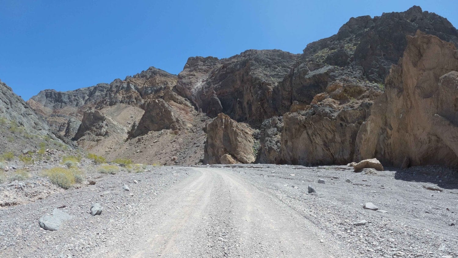
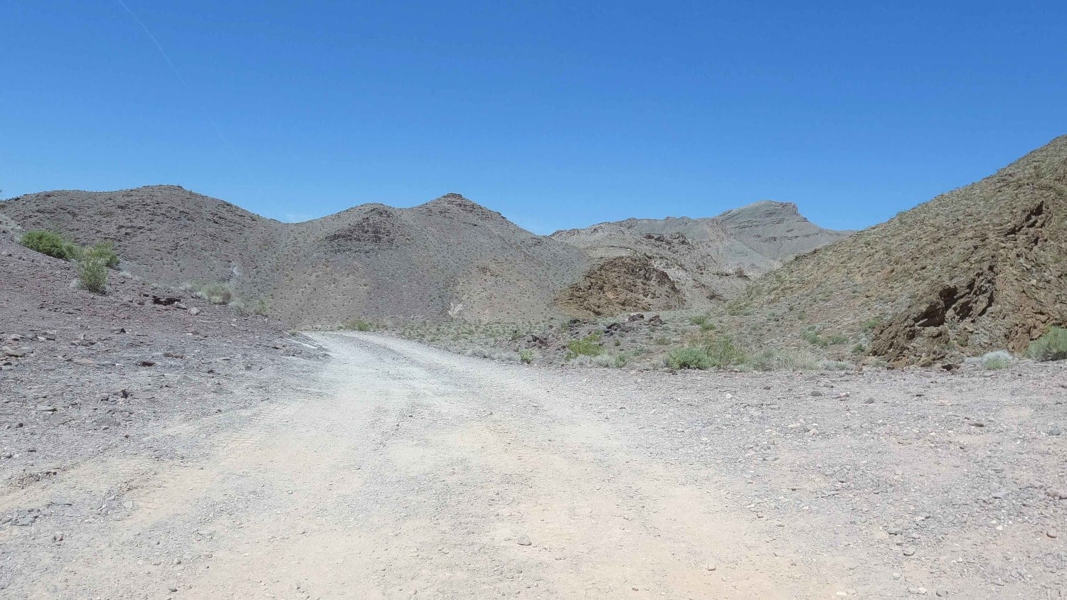
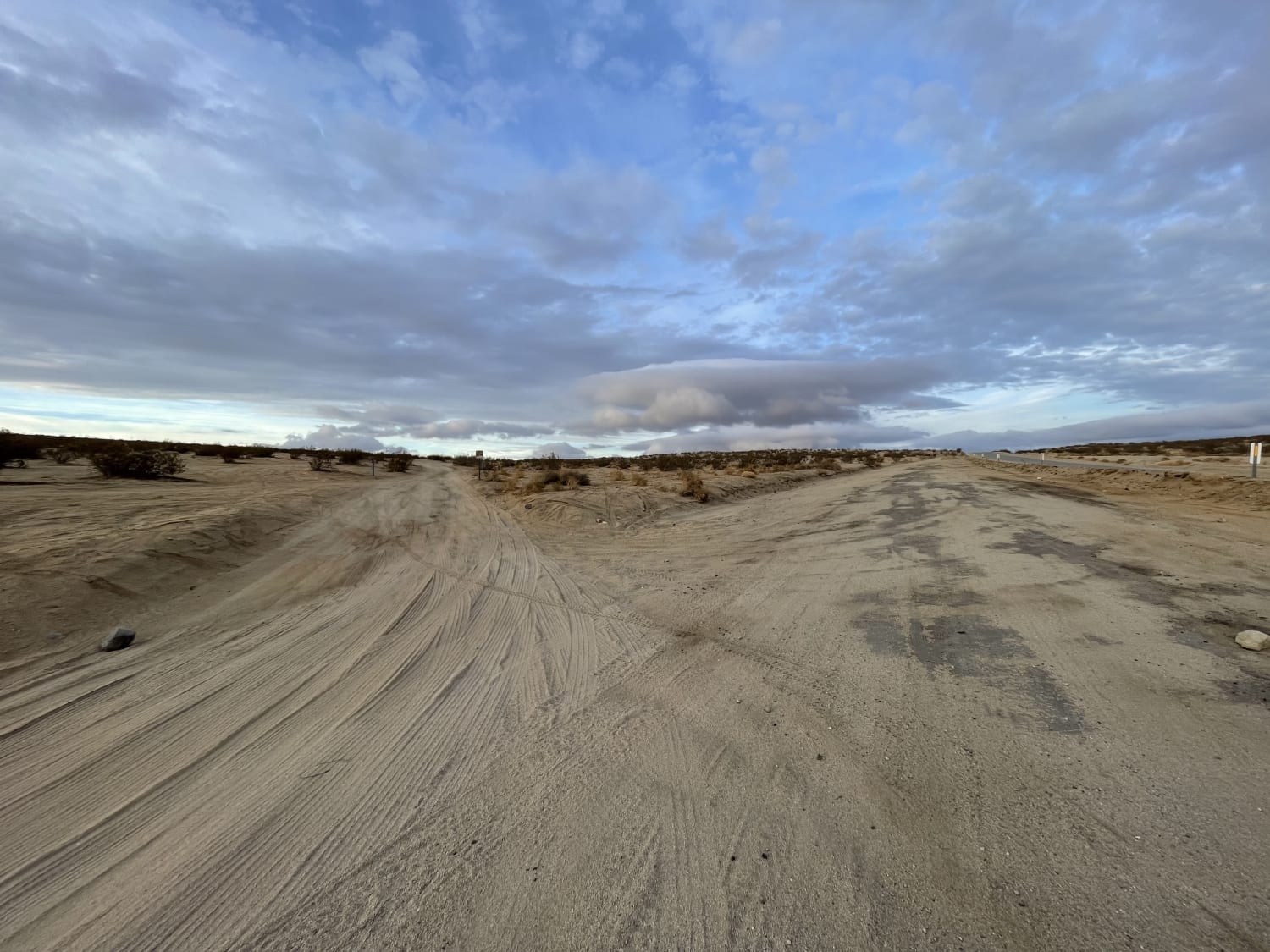
An easy rock road accessing the Inyo Mine from Hwy 190 in Death Valley National Park. The Death Valley Backcountry and Wilderness Access Map describes Echo Canyon as high clearance the first three miles and 4x4 required beyond. In April 2023, this road was flat and smooth and did not require either along the mellow but constant 3,500' climb up to the mine. This canyon was flooded (and subsequently closed) after heavy storms in August 2022, so perhaps the storms evened out the trail. In addition to the Inyo Mine, additional features along this trail are small rock arches in the canyon walls above. The most notable is the Eye of the Needle Arch. Dispersed camping is allowed along Echo Canyon Road but as of Winter 2023, free backcountry camping permits are now required.
Photos of Echo Canyon Road
Difficulty
This trail is an easy rock road.
Status Reports
Echo Canyon Road can be accessed by the following ride types:
- High-Clearance 4x4
- SUV
Echo Canyon Road Map
Popular Trails
Lake Hughes Truck Trail
Geology Tour Road

Reflector Road
Easy Way to Camp From Trona Road
The onX Offroad Difference
onX Offroad combines trail photos, descriptions, difficulty ratings, width restrictions, seasonality, and more in a user-friendly interface. Available on all devices, with offline access and full compatibility with CarPlay and Android Auto. Discover what you’re missing today!
