Fish Head Rocks to Trona Pinnacles
Total Miles
3.5
Technical Rating
Best Time
Spring, Fall, Winter
Trail Type
Full-Width Road
Accessible By
Trail Overview
The Fish Head Rocks were originally painted in the late 1930s or early 1940s, a beloved and unexpected desert sight. The route to Trona Pinnacles passes through "Poison Canyon" because the small stream at its west end contains naturally occurring arsenic, selenium, and other minerals at toxic levels. The landscape combines sand wash and a dry lake bed that can get filled with water at certain times of the year. This is more of an easy scenic route to Trona Pinnacles, a designated National Natural Landmark by the US Department of Interior.
Photos of Fish Head Rocks to Trona Pinnacles
Difficulty
This trail is easy. It's a beautiful desert landscape with a combination of sand wash, uphill and downhill sections, and a dry lake bed that can get filled with water at certain times of the year.
Status Reports
Fish Head Rocks to Trona Pinnacles can be accessed by the following ride types:
- High-Clearance 4x4
- SUV
- SxS (60")
- ATV (50")
- Dirt Bike
Fish Head Rocks to Trona Pinnacles Map
Popular Trails

Lodgepole - FS 9s027

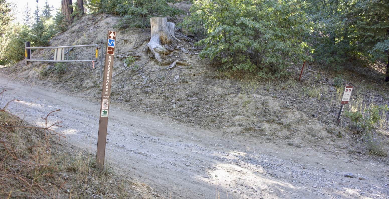
Knickerbocker - FS 2N08

Milford Road Cutover
The onX Offroad Difference
onX Offroad combines trail photos, descriptions, difficulty ratings, width restrictions, seasonality, and more in a user-friendly interface. Available on all devices, with offline access and full compatibility with CarPlay and Android Auto. Discover what you’re missing today!


