Forestdale Road
Total Miles
6.6
Technical Rating
Best Time
Spring, Summer, Fall
Trail Type
High-Clearance 4x4 Trail
Accessible By
Trail Overview
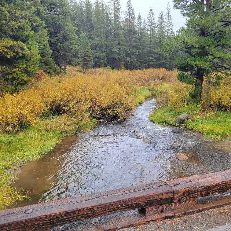
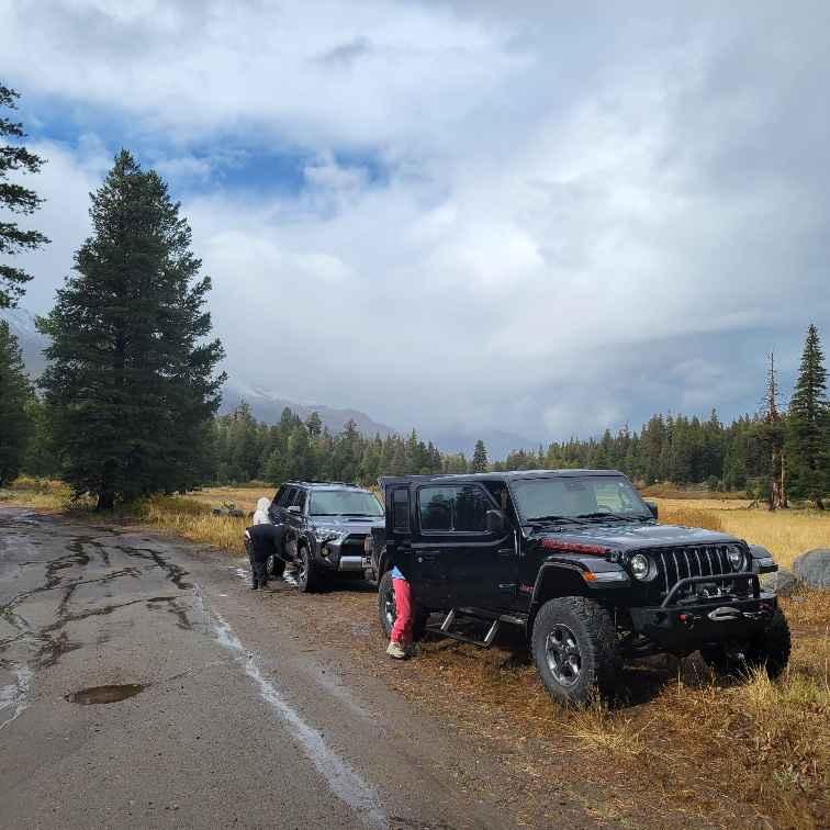
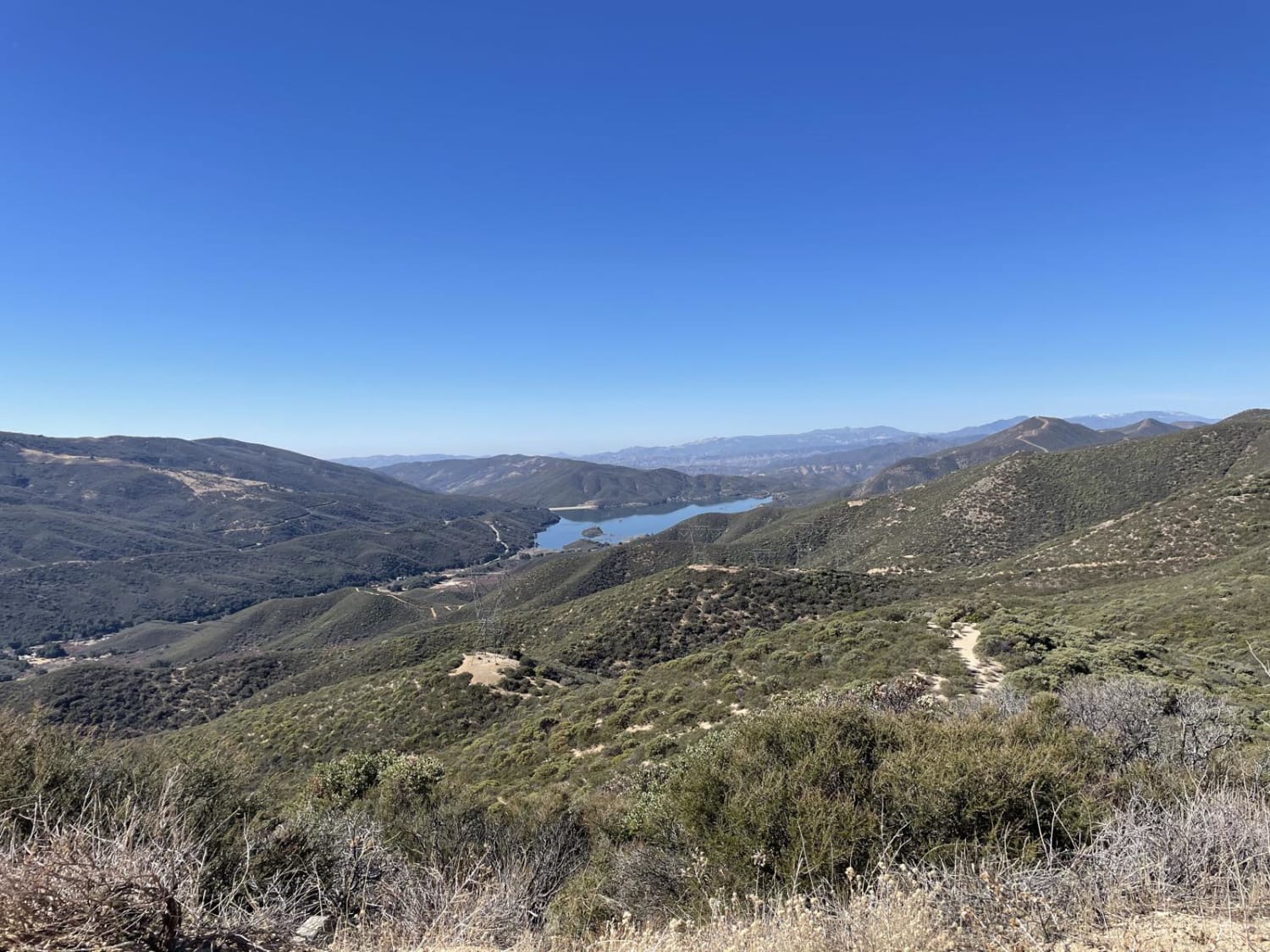
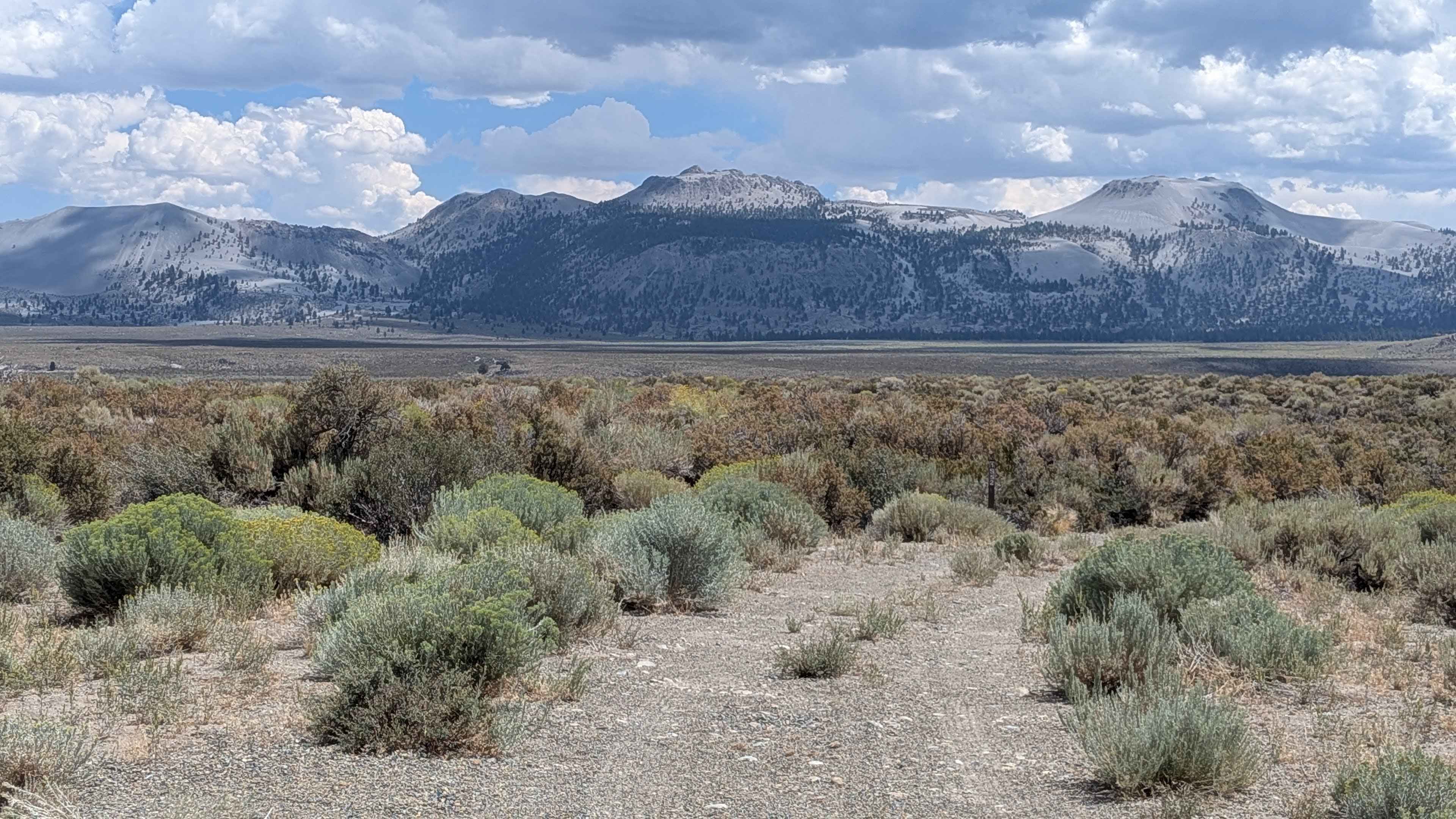
Forestdale Road in Alpine county starts at Highway 88 and the Red Lake turn-off. This is a one-vehicle wide dirt road that begins easy. There is a designated primitive campground area at about 8,000 feet. From there the dirt road turns into a rutted-out dirt trail. The trail ascends from an elevation of 7,742 ft. at Red Lake to a maximum elevation of 8,877 ft. There are seasonal shallow and narrow water crossings on this trail. Snow can be found as early as September. The trail is closed in winter. The vistas are incredible. In July and August, you can reward yourself by swimming at Blue Lakes at the end of the trail. This double-track trail is suited for off-highway and 4WD high clearance vehicles. Not recommended for 2WD or 4WD cars.
Photos of Forestdale Road
Difficulty
This is a single vehicle width, double track trail. The trail is unmaintained after rain or snow. One mile of this trail is complicated by many 6" to 18" steps and ledges. 12" deep erosion ruts are common and some are 18" deep. A few stones and obstacles over 6" can be navigated around. Some shallow and short seasonal water crossings can be encountered. Eighty percent (80%) of the trail is easy (technical rating 1-3).
Status Reports
Forestdale Road can be accessed by the following ride types:
- High-Clearance 4x4
- SxS (60")
- ATV (50")
- Dirt Bike
Forestdale Road Map
Popular Trails
Fish Slough Road
Forest Service Road 1S52

Lower Tamarack - FS 9S014
The onX Offroad Difference
onX Offroad combines trail photos, descriptions, difficulty ratings, width restrictions, seasonality, and more in a user-friendly interface. Available on all devices, with offline access and full compatibility with CarPlay and Android Auto. Discover what you’re missing today!
