Indian Mountain Trail
Total Miles
4.2
Technical Rating
Best Time
Spring, Summer, Fall
Trail Type
Full-Width Road
Accessible By
Trail Overview
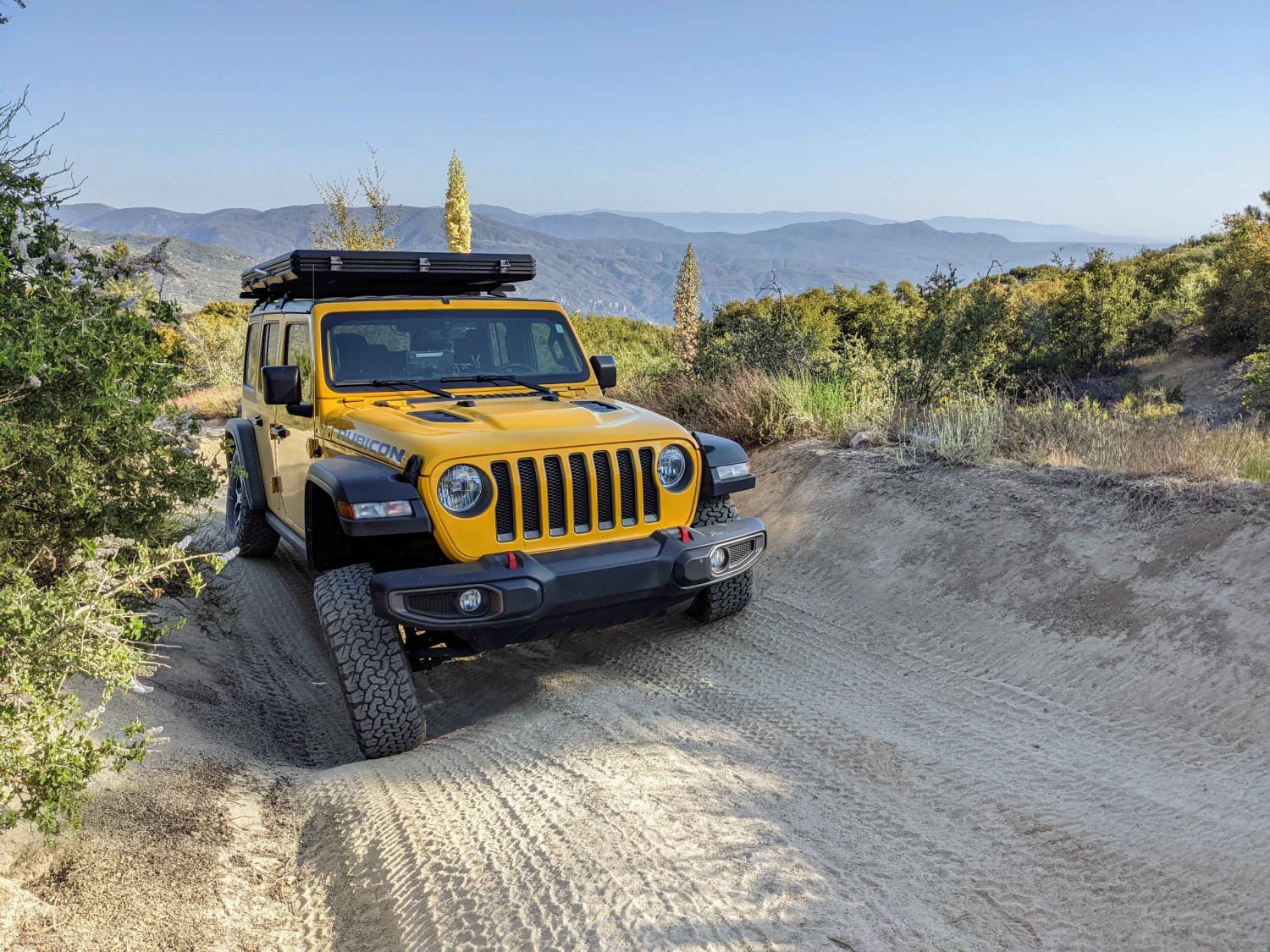
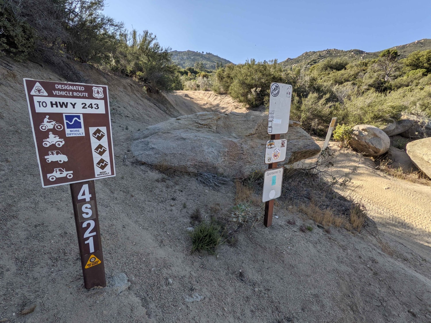
Indian Mountain is a two-way trail between the Banning-Idyllwild Panoramic Highway (SR 243) and the San Jacinto Ridge Trail (FS 5S09) in the San Bernardino National Forest. Comprised of mostly hard-pack dirt, the trail weaves through chaparral and pine trees to the summit of Indian Mountain at 5,790 feet. Breathtaking views of Hemet and Diamond Valley Lake are visible to the west, while Mount San Jacinto towers overhead to the east at 10,800 feet. The most significant obstacles are steep climbs and deep cross-trail rain ruts that will test the suspension capabilities of most street-legal vehicles. Sway bar disconnects and limited-slip or locking differentials are highly recommended due to the likelihood of momentary tire lifting. The trail can be traveled in either direction. However, less capable vehicles should transit north to south due to steep off-camber climbs when traveling in the opposite direction. Due to occasional snowfall, this trail is best traveled between April and November.
Photos of Indian Mountain Trail
Difficulty
Deep cross-trail rain ruts will test the suspension capabilities of most street legal vehicles resulting in momentary tire lifting and a high potential for roll-overs on steep, off-camber sections of the trail.
History
The Indian Mountain Trail (FS 4S21) lies along the Banning-Idyllwild Panoramic Highway which is part of the Palms to Pines Scenic Byway. The highway was originally completed in 1910 and officially designated as State Route 243 in 1970.
Status Reports
Popular Trails
ST 3221 Moto

Watterson Troughs
Whitmore Gold Mines
The onX Offroad Difference
onX Offroad combines trail photos, descriptions, difficulty ratings, width restrictions, seasonality, and more in a user-friendly interface. Available on all devices, with offline access and full compatibility with CarPlay and Android Auto. Discover what you’re missing today!
