Jojoba Canyon
Total Miles
2.4
Technical Rating
Best Time
Spring, Fall, Winter
Trail Type
High-Clearance 4x4 Trail
Accessible By
Trail Overview
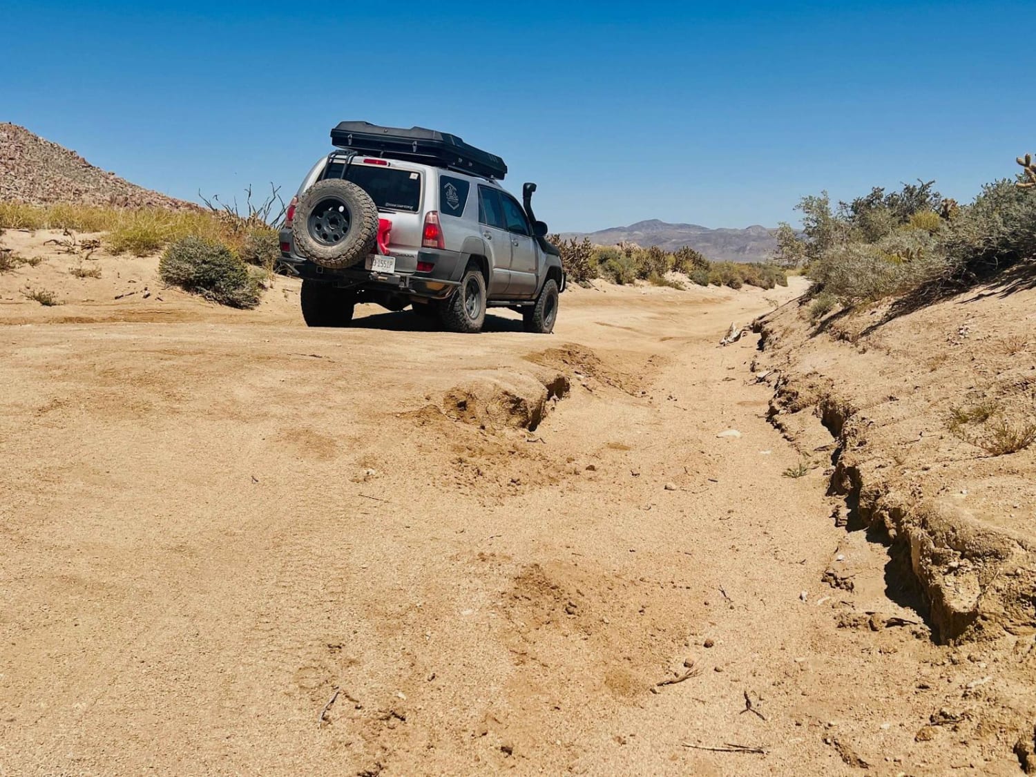
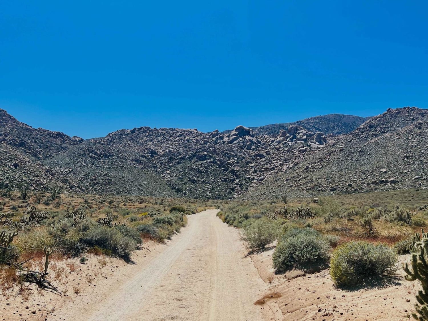
There are massive lumpy rocks everywhere. What a beautiful trail. This easy trail cuts across to connect to a few other routes in the area, and the views do not disappoint. The trail passes by the Piedras Grandes hiking trailhead and parking area. It is approximately a mile-and-a-half hike each way into the wilderness and back. This trail features some very culturally significant rock art and a very high concentration of it at that. The famous horse and rider pictograph is on this hike, and the area also has a very high concentration of other pictographs. It's good to get out and explore this preserved spot. Please follow the rules and do not touch anything preserving the site for future generations. At one end of the trail is an area where one could camp. Both ends have great camping spots, with a few scattered within the knot rocks along the way. The main crossroads of the trail feature an abandoned rail stop complete with loading docks, a decrepit water tower, train track crossings, and a concrete structure that looks like a single-seater rocket ship. There's plenty of graffiti for viewing and an excellent overall view of the windmill farm to the east. The trail is mostly easy, with a few rocky ledges bringing the difficulty up to the five mark. Careful tire placement should get most rigs through with a good spotter. This rocky area also has more difficult lines for those looking to test their suspension and flex. There is one bar of Verizon 5g near the main crossroads to the north. Please keep in mind this is an area of high border activity, and any suspicious activities should be reported to the Department of Homeland Security with coordinates for the incident.
Photos of Jojoba Canyon
Difficulty
The trail is mostly a three until it comes to a rocky section. This rocky section is passable with a moderately lifted vehicle with careful line choice and spotting. Poor line choice could result in body damage and or rollover. The rest of the trail is sandy-wash crossings and slight ruts. Be aware that all motor vehicles inside the Anza Borrego Wilderness must be street-legal and plated.
History
The San Diego and Arizona Eastern Railway Company is a short-line Railroad founded in 1906 as the San Diego and Arizona Railway. (SD&A) by sugar magnate, developer, and entrepreneur John D. Spreckles. Dubbed "The Impossible Railroad" by many engineers of its day due to the immense logistical challenges involved, the line was established in part to provide San Diego with a direct rail link to the east by connecting with the Southern Pacific Railroad lines in El Centro, CA. SD&AE took over the SD&A's operations in 1933 after financial troubles led Spreckels' descendants to sell their interests in the railroad to the Southern Pacific. Through the years, natural disasters and vandalism rendered sections of the line unserviceable, and portions of the line have been sold to various interests. As a result, the majority of the line in this part of the desert is closed to public access.
Status Reports
Jojoba Canyon can be accessed by the following ride types:
- High-Clearance 4x4
- Dirt Bike
Jojoba Canyon Map
Popular Trails
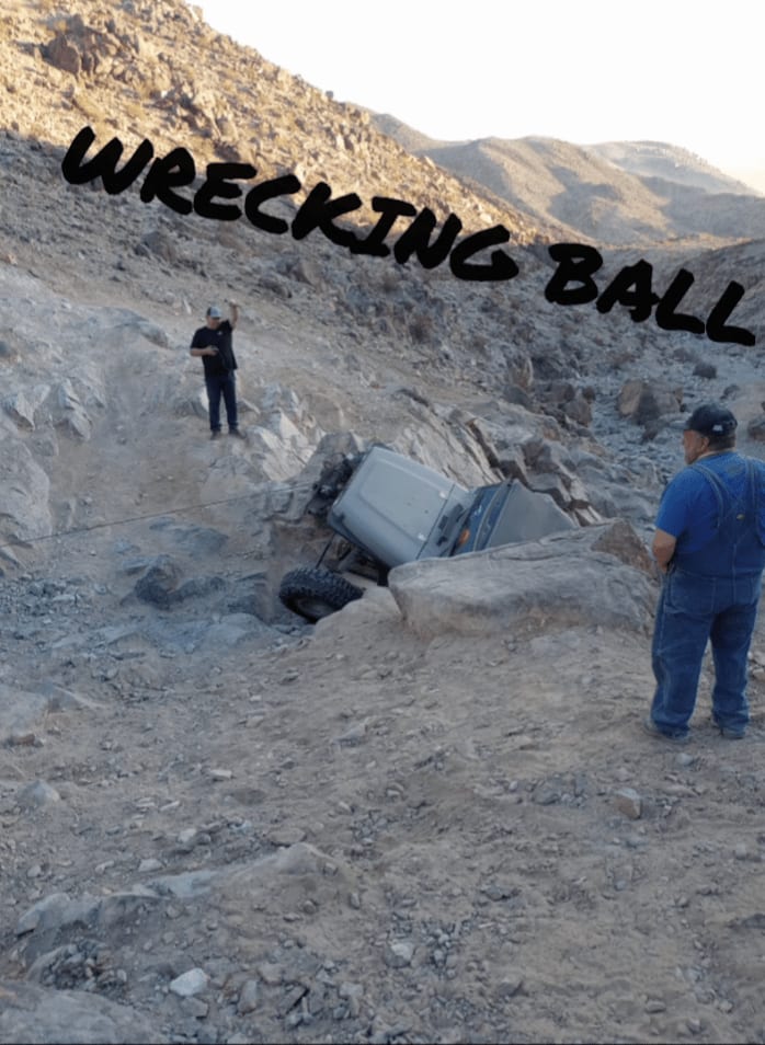
Wrecking Ball
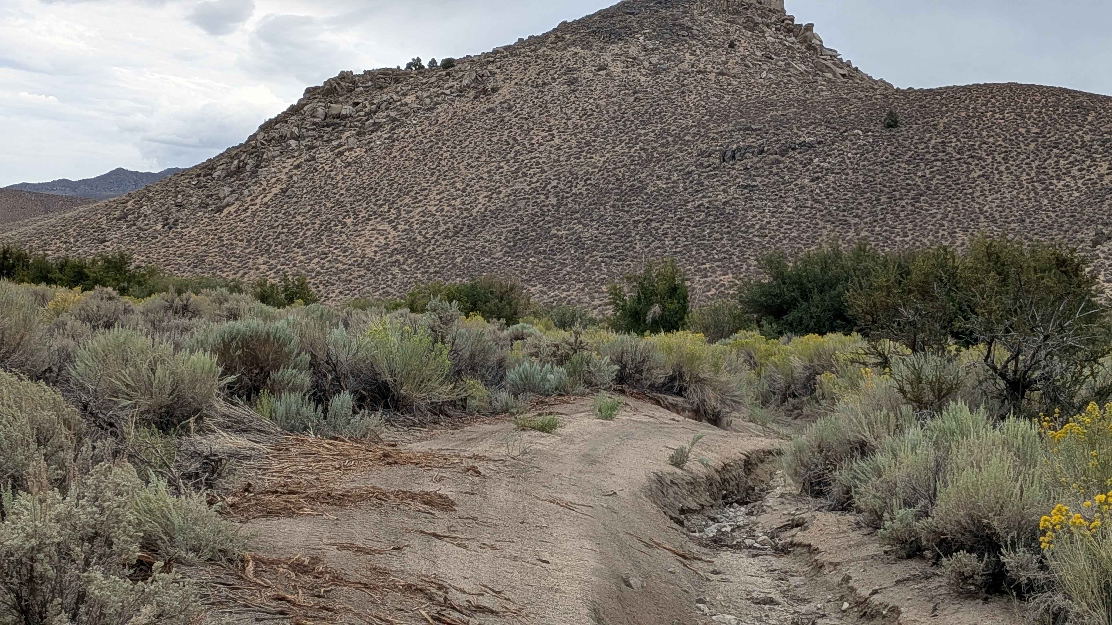
Lucky Strike Mine - FS 7S105

Brimstone - S24
Forest Service Road 2N19
The onX Offroad Difference
onX Offroad combines trail photos, descriptions, difficulty ratings, width restrictions, seasonality, and more in a user-friendly interface. Available on all devices, with offline access and full compatibility with CarPlay and Android Auto. Discover what you’re missing today!
