Keltz Mine
Total Miles
2.7
Technical Rating
Best Time
Spring, Summer, Fall
Trail Type
Full-Width Road
Accessible By
Trail Overview
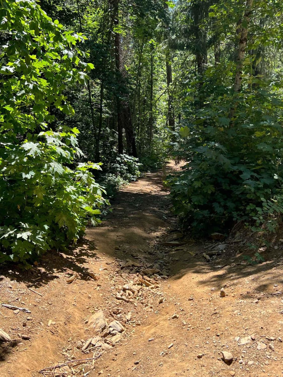
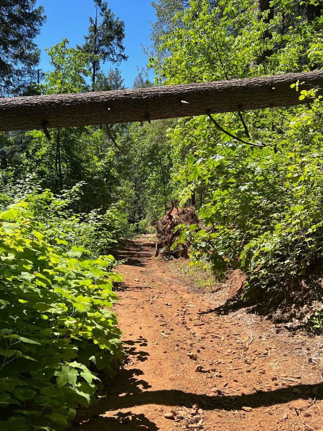
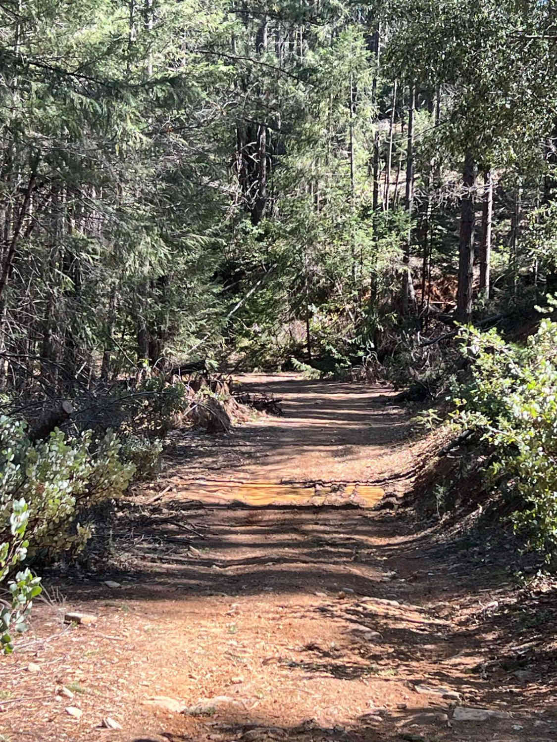
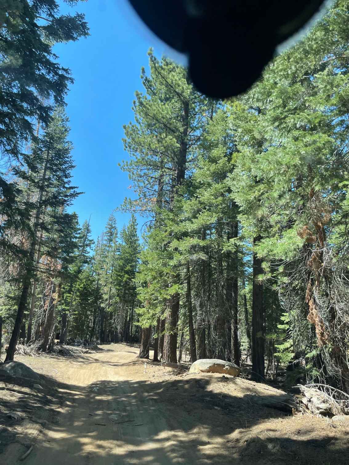
This trail is steep, overgrown, and narrow. Typically home to lots of poison oak and fallen trees but the reward at the end is totally worth it! Keltz Mine road takes you down to the South Fork Stanislaus River and ends at a camping area. There are fish and swimming holes and slippery rocks so beware. In the winter months, this road is muddy and has large rocks, it is also subject to landslides so wide vehicles beware.
Photos of Keltz Mine
Difficulty
This is a narrow in-and-out trail. The trail is usually dusty and has large ruts as well as fallen trees or washed-out sections of road. Some corners on the way down are hairpin switchbacks that can be tricky and sloped. There are some rocky sections and small ledges.
Status Reports
Popular Trails
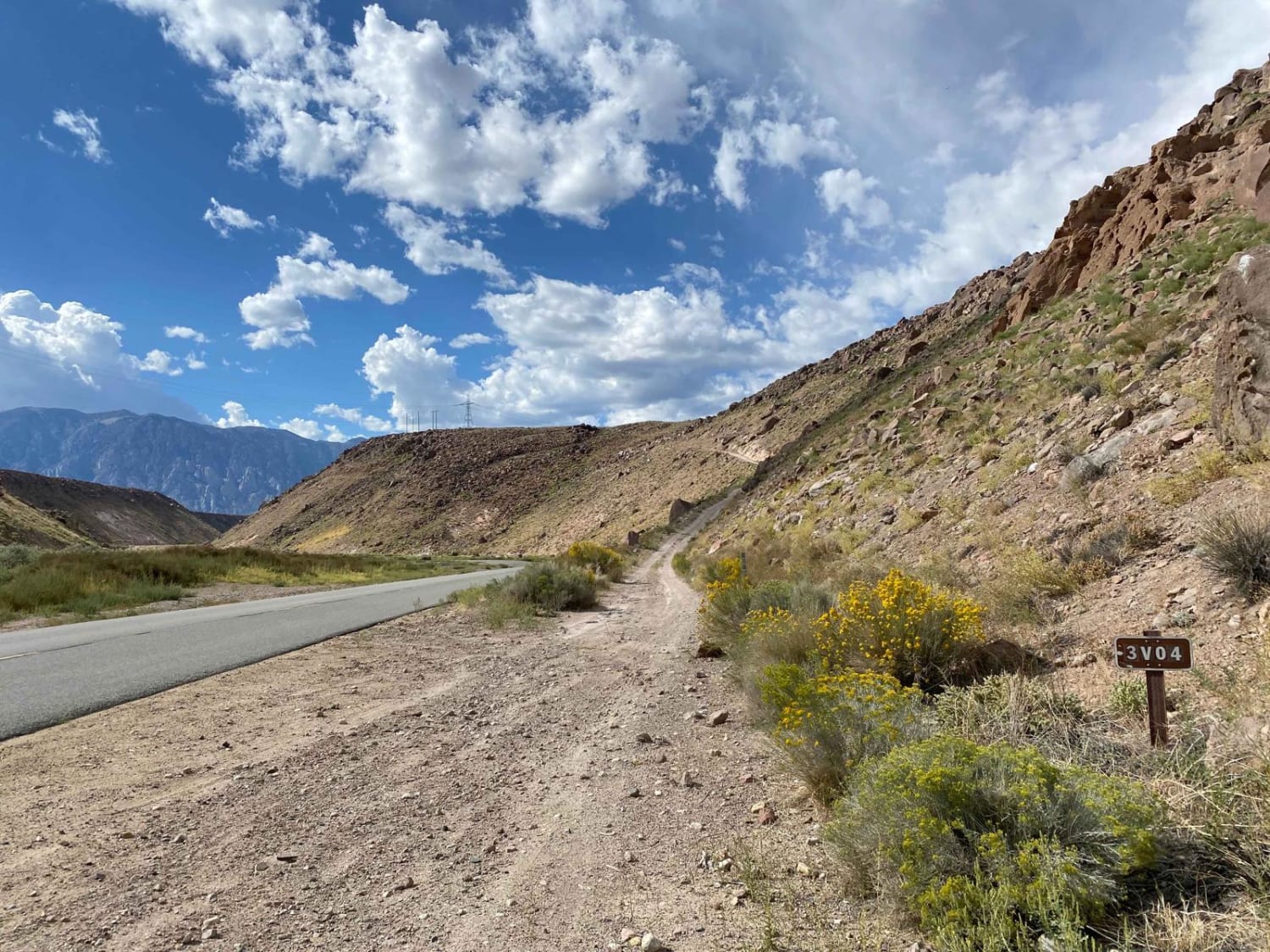
Pole Road (3V04)

Boulder Dash
The onX Offroad Difference
onX Offroad combines trail photos, descriptions, difficulty ratings, width restrictions, seasonality, and more in a user-friendly interface. Available on all devices, with offline access and full compatibility with CarPlay and Android Auto. Discover what you’re missing today!
