La Gloria Road
Total Miles
11.4
Technical Rating
Best Time
Spring, Summer, Fall
Trail Type
Full-Width Road
Accessible By
Trail Overview
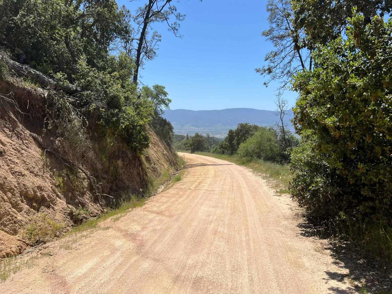
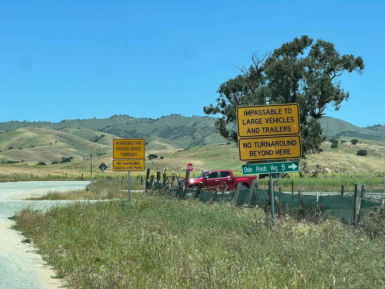
La Gloria Road is a graded, well-maintained dirt road that connects the Salinas Valley and US-101 with SR-25 in San Benito County. It is the closest connecting road between Eastern and Western Pinnacles (there is no road through Pinnacles). Access starts at the intersection with Camphora-Gloria Road, and the dirt portion of the road starts at the Monterey County Swiss Rifle Club. The road climbs gradually towards San Benito County. On the way up, you'll encounter a beautiful view of the Salinas Valley below. The trail is generally one vehicle-wide, but there are many wider pull-out spots. At the top, the road levels off and winds through live oak, private land, and grazing facilities. The road terminates at SR-25, where you can continue to Hollister or Eastern Pinnacles. 4WD is generally not necessary but is advised when wet. Cell service is good on the Salinas Valley side; it gets spotty on the San Benito side/SR-25.
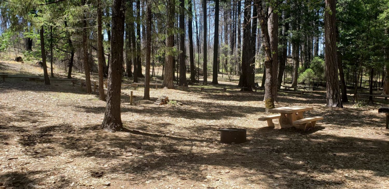
Photos of La Gloria Road
Difficulty
This is a dirt road with some ruts from water run-off. It's generally well-maintained and graded; however, it may be more difficult during the wet season.
Status Reports
La Gloria Road can be accessed by the following ride types:
- High-Clearance 4x4
- SUV
La Gloria Road Map
Popular Trails
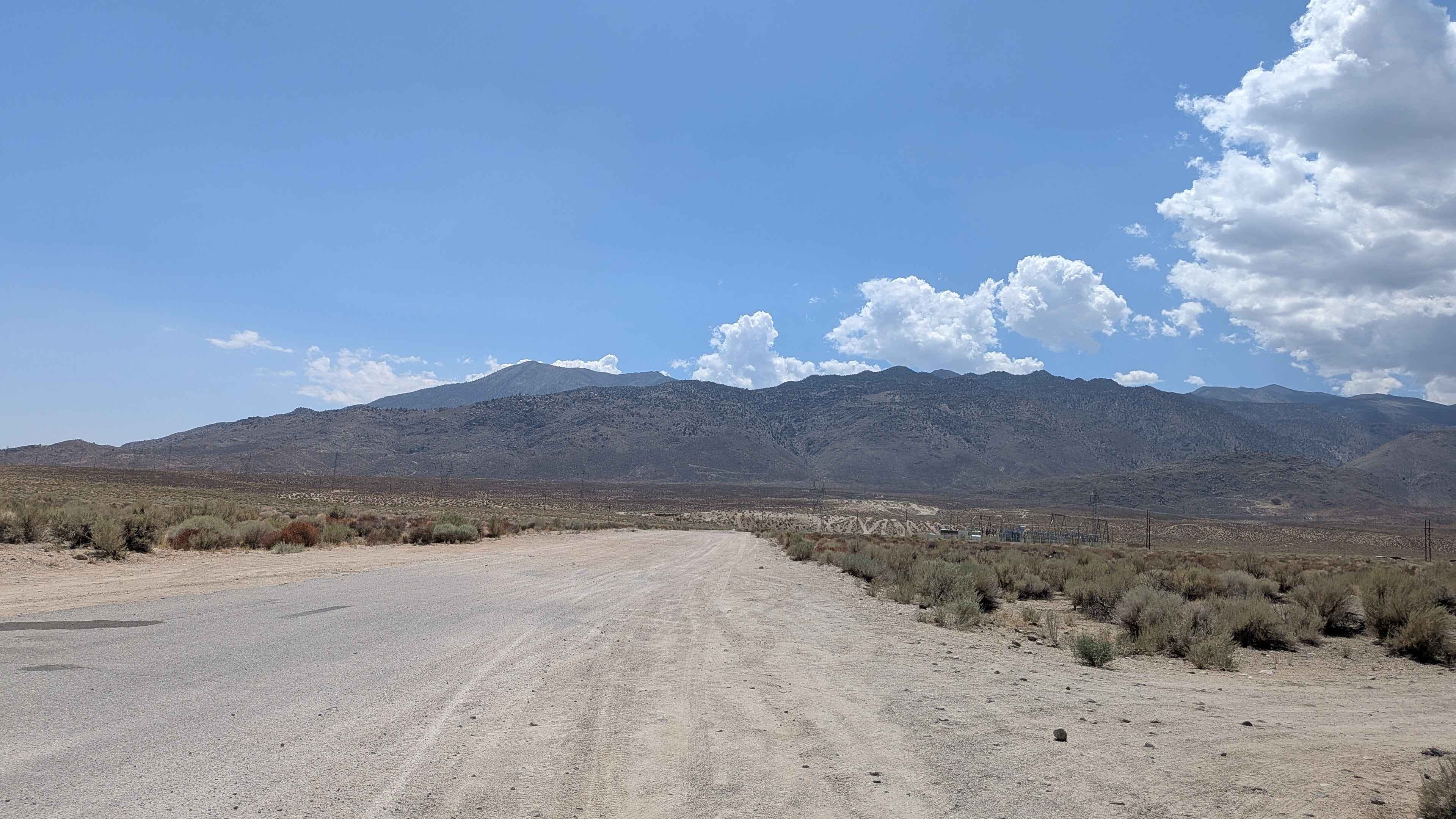
Coyote Valley Road
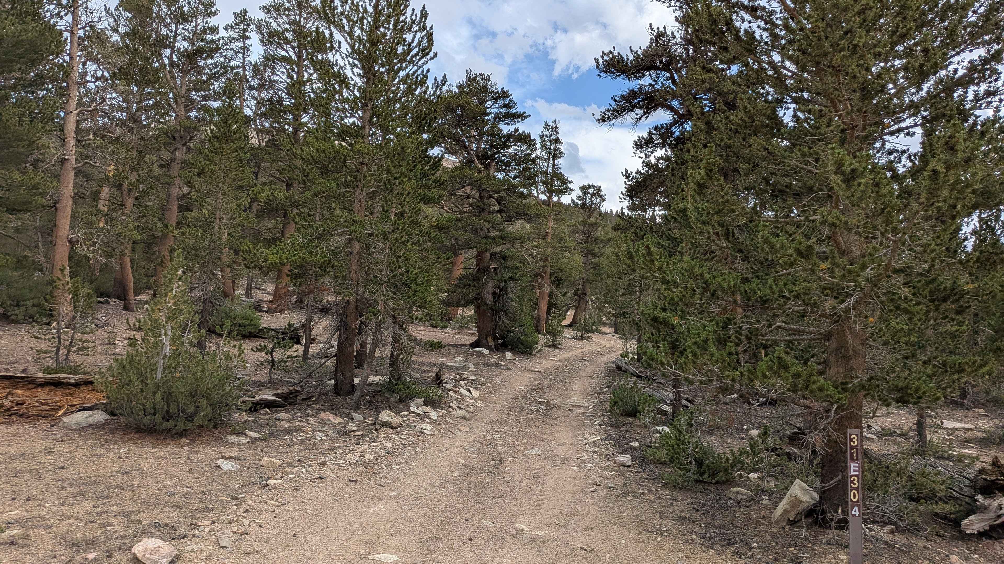
Coyote Lake Trail - FS 31E304
Palo Verde Wash
The onX Offroad Difference
onX Offroad combines trail photos, descriptions, difficulty ratings, width restrictions, seasonality, and more in a user-friendly interface. Available on all devices, with offline access and full compatibility with CarPlay and Android Auto. Discover what you’re missing today!
