Laurel Lakes
Total Miles
5.0
Technical Rating
Best Time
Summer
Trail Type
Full-Width Road
Accessible By
Trail Overview
Climb to secluded, crystalclear mountain lakes at 10,000 ft. on the edge of John Muir Wilderness. Incredible views as you climb and look down from the top. Camp and fish at the lakes and along Laurel Creek as it flows the entire length of Laurel Canyon. Open to all motor vehicles. Popular hunting area in the fall. Wildflowers and great fall color. Can get busy on holiday weekends. Snow may block top of trail into July.
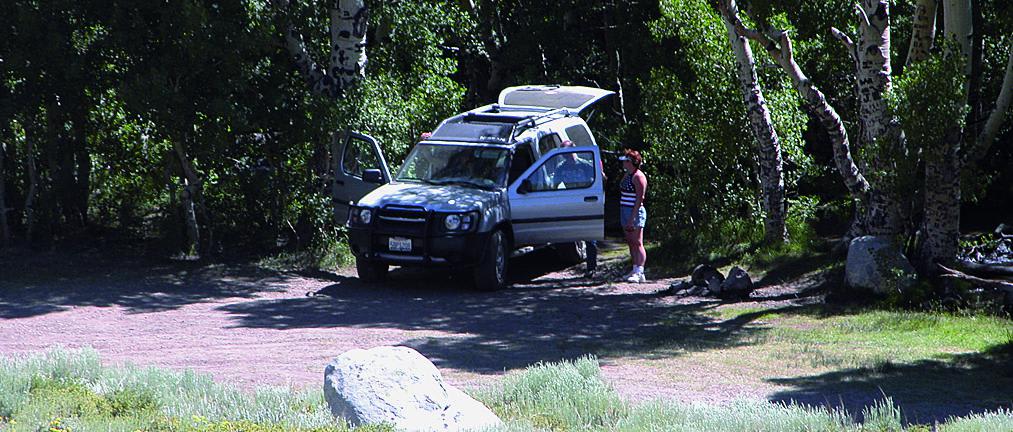
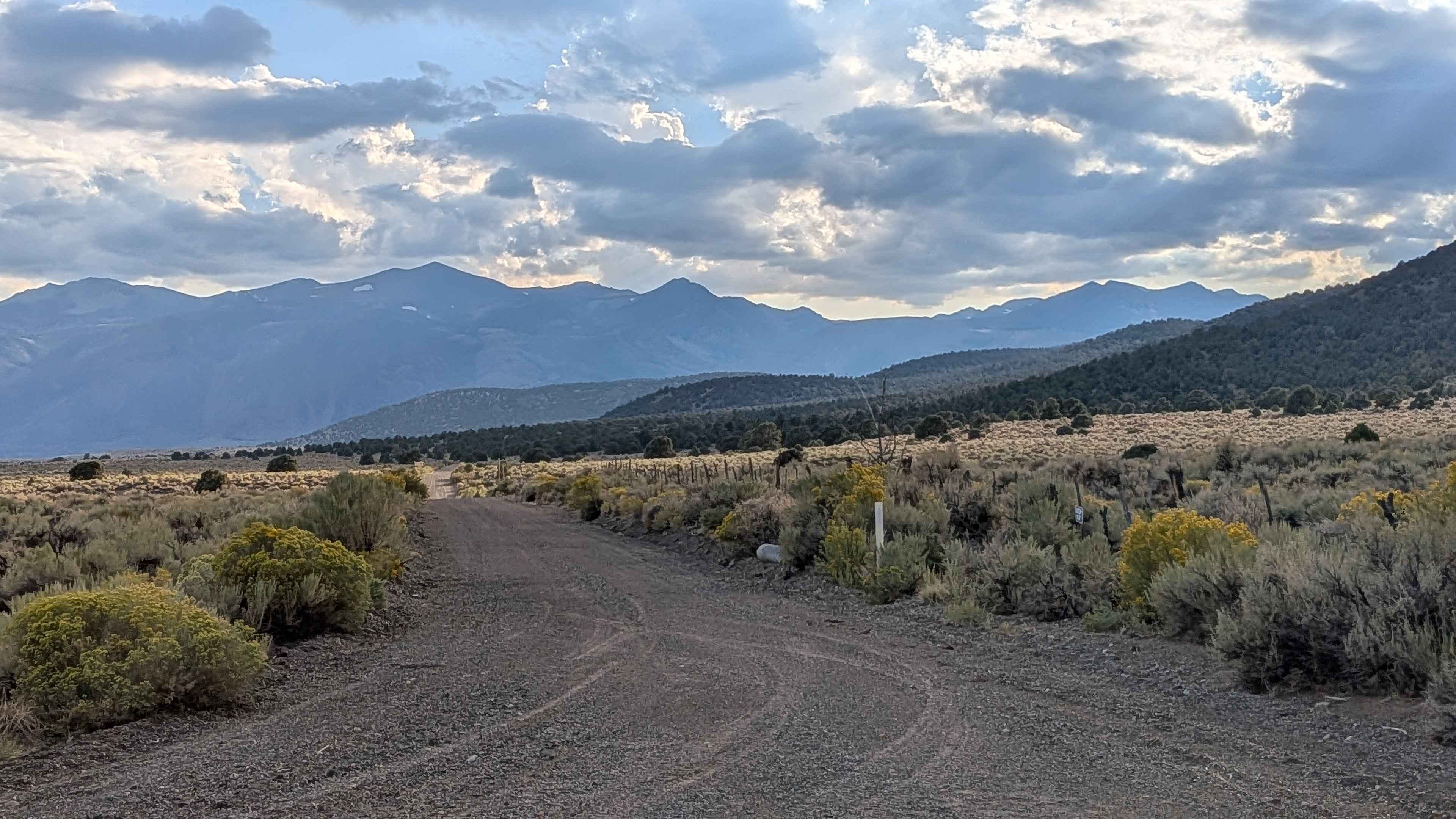
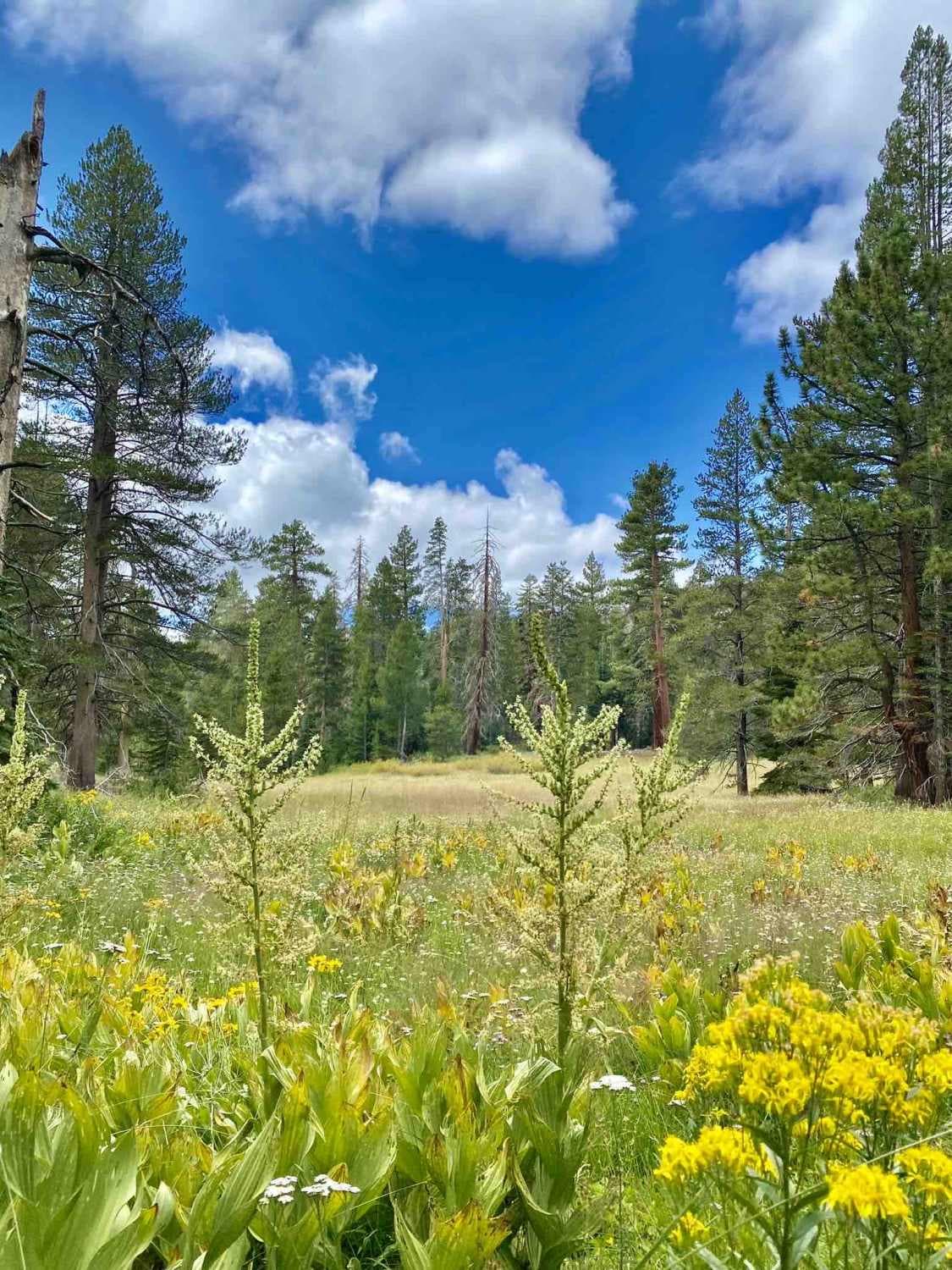
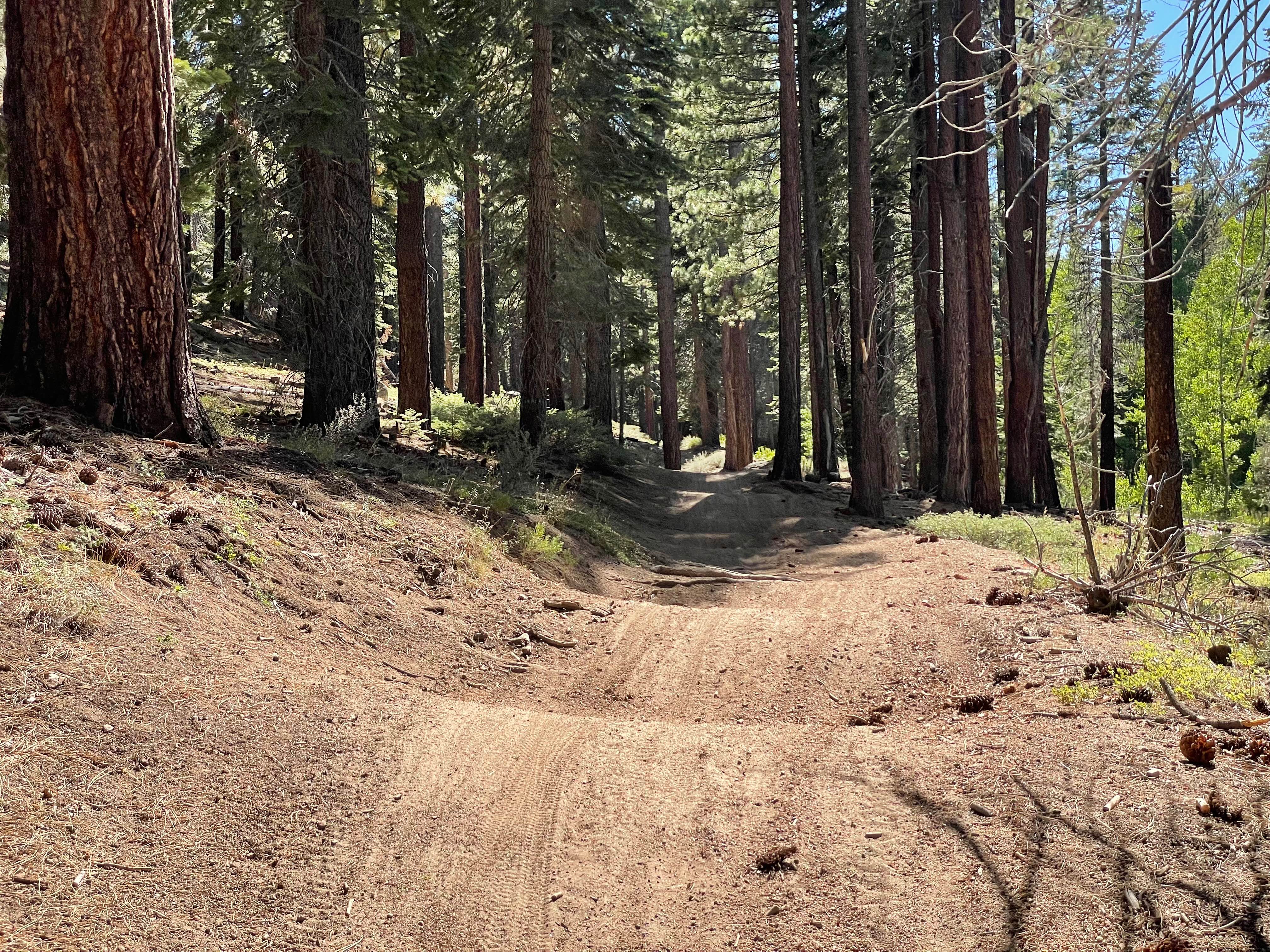
Photos of Laurel Lakes
Difficulty
Moderate: Very rocky and narrow in places, but no major obstacles. Difficult to pass in spots so watch for vehicles ahead. Perfect trail for stock, aggressive, 4x4 SUVs and new drivers looking to take on more challenge. Very steep and narrow going down to lakes.
Status Reports
Laurel Lakes can be accessed by the following ride types:
- High-Clearance 4x4
- SUV
- SxS (60")
- ATV (50")
- Dirt Bike
Laurel Lakes Map
Popular Trails

Renstock Ridge - 2N79
The onX Offroad Difference
onX Offroad combines trail photos, descriptions, difficulty ratings, width restrictions, seasonality, and more in a user-friendly interface. Available on all devices, with offline access and full compatibility with CarPlay and Android Auto. Discover what you’re missing today!


