Military Wash
Total Miles
4.4
Technical Rating
Best Time
Spring, Summer, Fall, Winter
Trail Type
Full-Width Road
Accessible By
Trail Overview
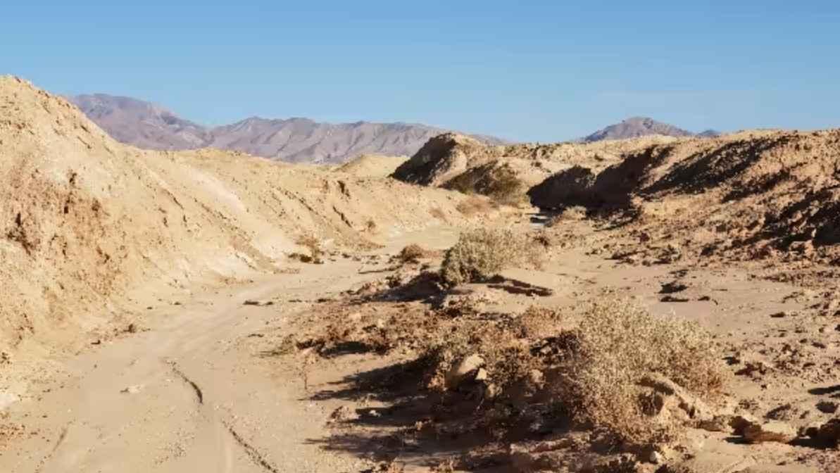
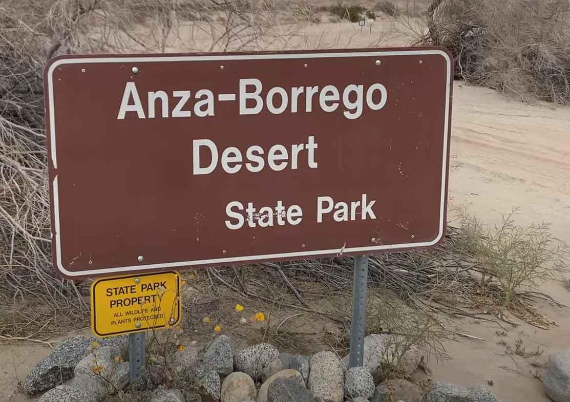
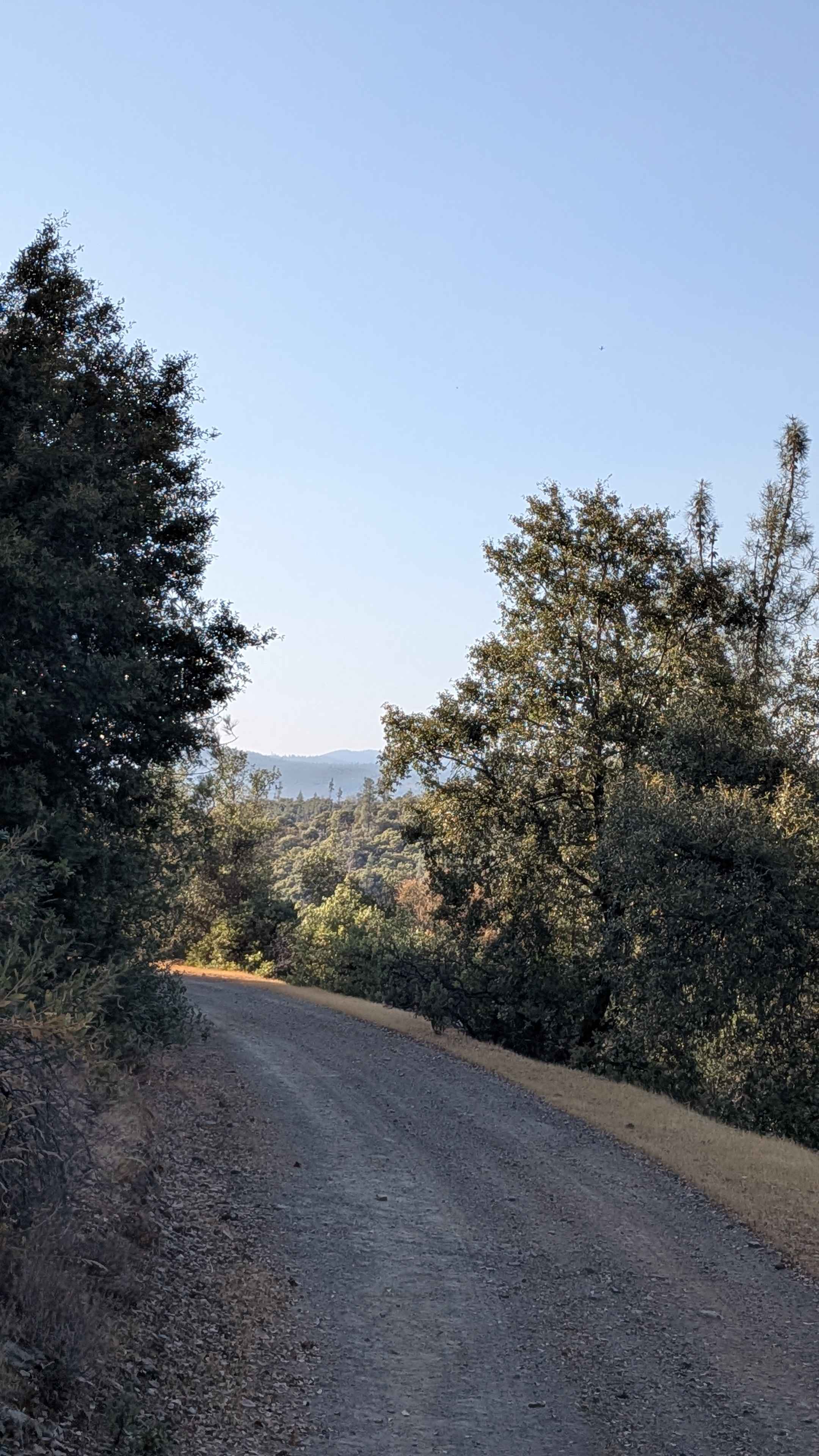
Military Wash is a 4.6-mile point-to-point trail rated 3 out of 10 located mostly within the Anza-Borrego Desert State Park. The southernmost three-quarters of a mile falls within the Ocotillo Wells State Vehicular Recreation Area. The Military Wash starts deep within the Borrego Badlands about 2.5 miles north of Cut Across Trail. Although there is a track on the OnX map, travel within the Military Wash north of Cut Across Trail is not allowed by the state park. The wash runs across the major flood plain, connecting into San Felipe and Fault washes. The southern end of the trail gets lots of OHV traffic because "The Cove" camping area is located a half mile west along the base of the Borrego Mountains. All canyons and washes in the area are subject to flash floods. Travelers should watch the weather reports for the mountains to the west. There are cell towers along S22 and Highway 78, so reception may be available on sections of the trail. The nearest services are located in Borrego Springs to the northwest and Salton City to the northeast. Offroad travel within the Anza-Borrego Desert State Park is restricted to street-legal vehicles only, while the portion of the trail located with the Ocotillo Wells SVRA is open to all vehicles.
Photos of Military Wash
Difficulty
The trail consists of loose rocks, dirt, and sand with some slick rock surfaces and mud holes possible. No steps are higher than 12 inches. 4WD may be required, and aggressive tires are a plus.
Status Reports
Military Wash can be accessed by the following ride types:
- High-Clearance 4x4
- SUV
Military Wash Map
Popular Trails
Alpers Canyon Upper FS2S42
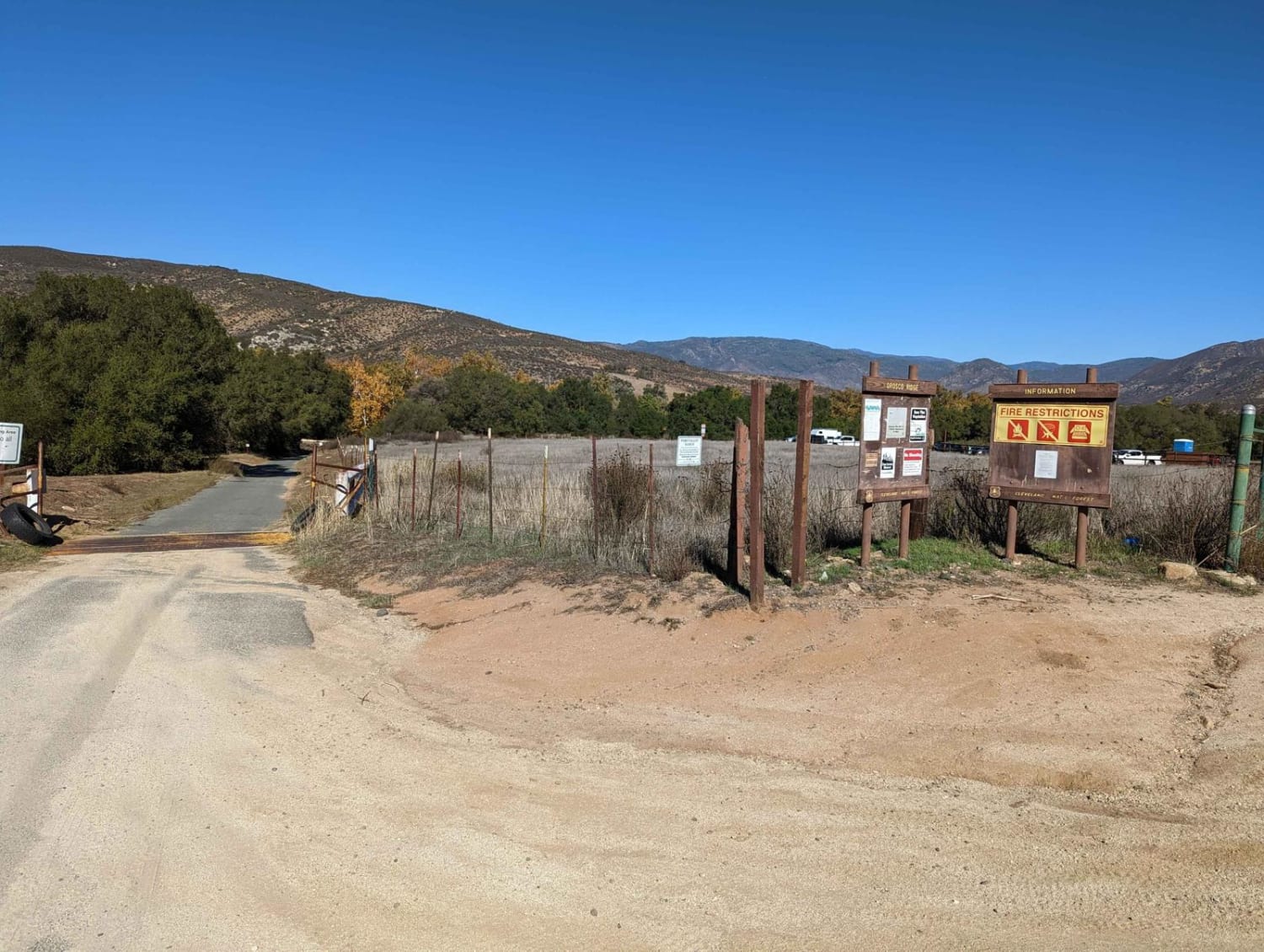
Orosco Ridge Truck Trail 12S02
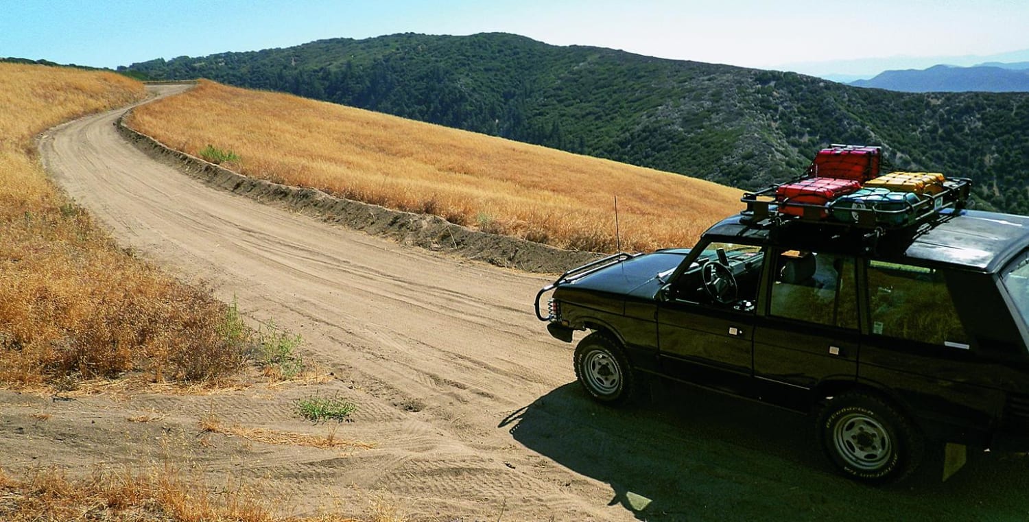
Liebre Mountain
The onX Offroad Difference
onX Offroad combines trail photos, descriptions, difficulty ratings, width restrictions, seasonality, and more in a user-friendly interface. Available on all devices, with offline access and full compatibility with CarPlay and Android Auto. Discover what you’re missing today!
