Mojave Road, Central
Total Miles
56.1
Technical Rating
Best Time
Fall, Winter, Spring
Trail Type
Full-Width Road
Accessible By
Trail Overview
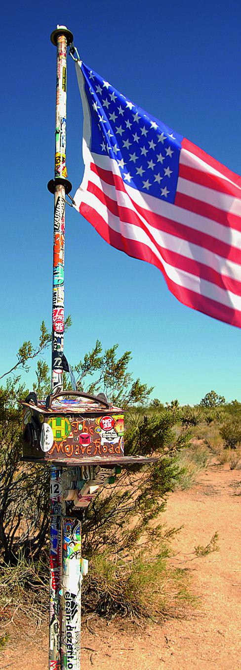
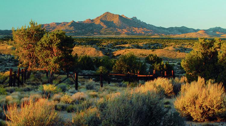
Highlights of Mojave Road Central include stops at the Rock House, Government Holes, Marl Springs and the Mail Box. Entire route is inside the Mojave National Preserve, open to street-legal vehicles only. Trail departs from and rejoins larger Cedar Canyon Road several times.
Photos of Mojave Road, Central
Difficulty
Moderate: Mostly easy, but the descent to Watson Wash can be very challenging for stock 4x4 SUVs. This spot will be intimidating to novice drivers. Much of the route is soft sand, which, when dry, can quickly bog down any vehicle. Don't camp in washes where flash floods are possible.
History
Bert Smith built the Rock House in 1929. He came to this desolate place in an attempt to prolong his life after being exposed to poisonous gases in WWI. Although not expected to live long, he lasted another 25 years. You'll see signs for a loop hiking trail by the cabin. We recommend the hike. It leads to photogenic Rock Spring that provided water for the cabin. From 1866 to 1868, Rock Spring was the site of a military outpost.
Status Reports
Popular Trails
Tule Divide
Deer Valley - Part 2
Beckwourth - NF23N03
The onX Offroad Difference
onX Offroad combines trail photos, descriptions, difficulty ratings, width restrictions, seasonality, and more in a user-friendly interface. Available on all devices, with offline access and full compatibility with CarPlay and Android Auto. Discover what you’re missing today!
