Mojave Road, West
Total Miles
31.3
Technical Rating
Best Time
Fall, Winter, Spring
Trail Type
Full-Width Road
Accessible By
Trail Overview
The first part of the drive is uneventful as you head west from Kelbaker Road. Crossing Soda Lake is fairly routine, too, when the lake is dry. Concerns peak, however, if it has rained recently. You may be forced to take a long detour (described in mileage log). If you can cross the lake, you then enter an area where the trail may be obscured by wind-blown sand, increasing your chance of getting lost. Finally, you pass through Afton Canyon, which includes two crossings of the Mojave River. At rare times, these crossings can be very deep. Only street-legal vehicles are allowed inside Mojave National Preserve. OHV area west of preserve.
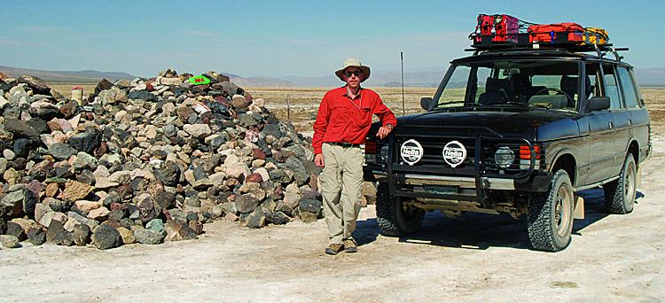
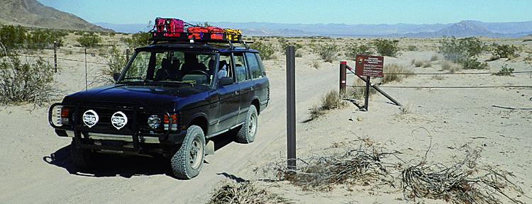
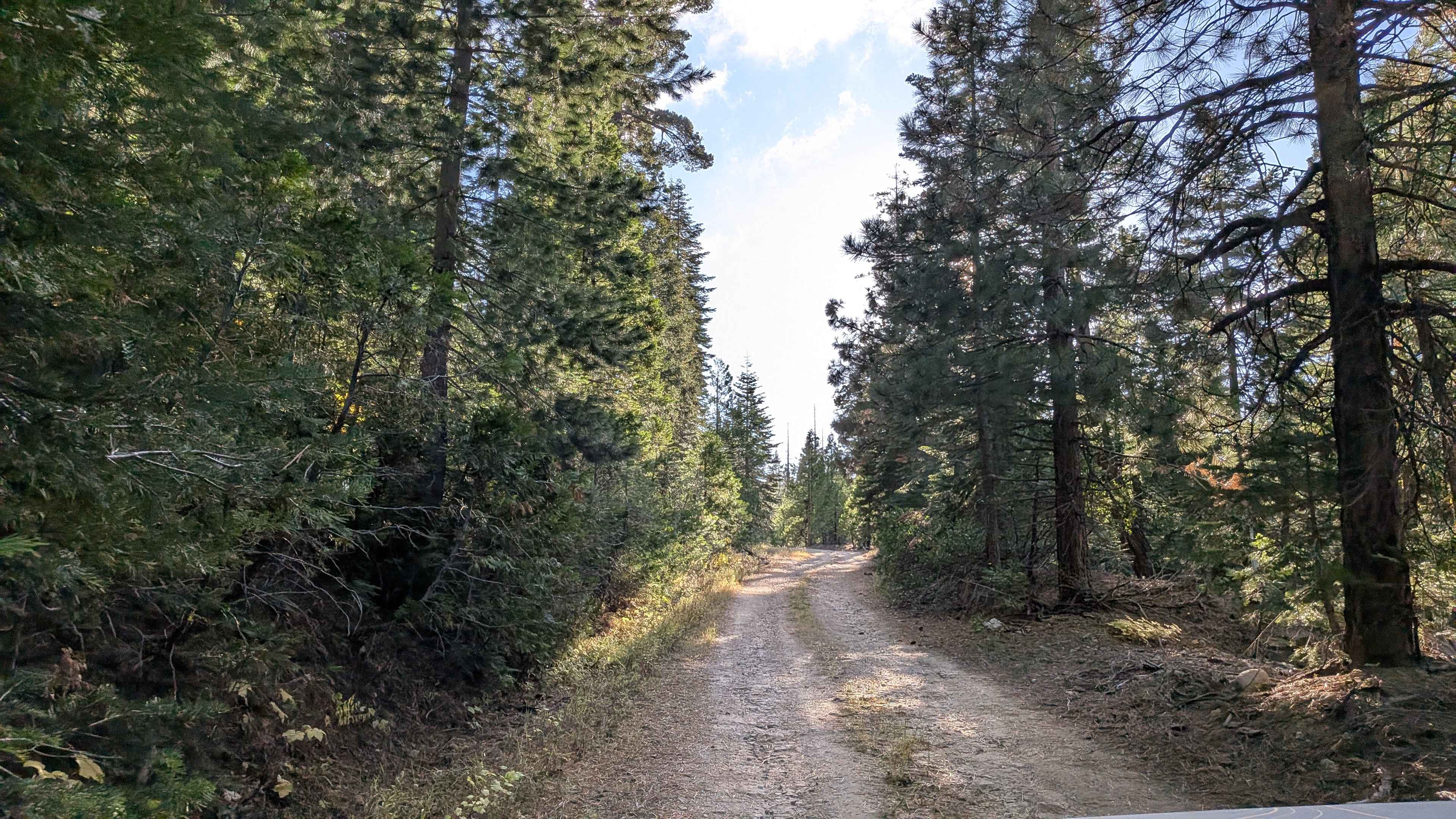
Photos of Mojave Road, West
Difficulty
Moderate (when dry): Variable conditions may include: deep mud, soft wind-blown sand and difficult route-finding. Without question, 4-wheel drive is required. GPS is highly recommended.
History
In the 1860s, Soda Springs was a small military outpost and stage stop. In 1944, the abandoned property was claimed by Dr. Curtis Springer, who developed it into a health resort. He named it Zzyzx as a gimmick to make it easy to find at the end of any alphabetical listing. He was evicted by the BLM in 1974. Concrete buildings and abandoned pools still remain (see map). Today, it's a Desert Studies Center run by California State University under the auspices of the Mojave National Preserve.
Status Reports
Mojave Road, West can be accessed by the following ride types:
- High-Clearance 4x4
- SUV
Mojave Road, West Map
Popular Trails
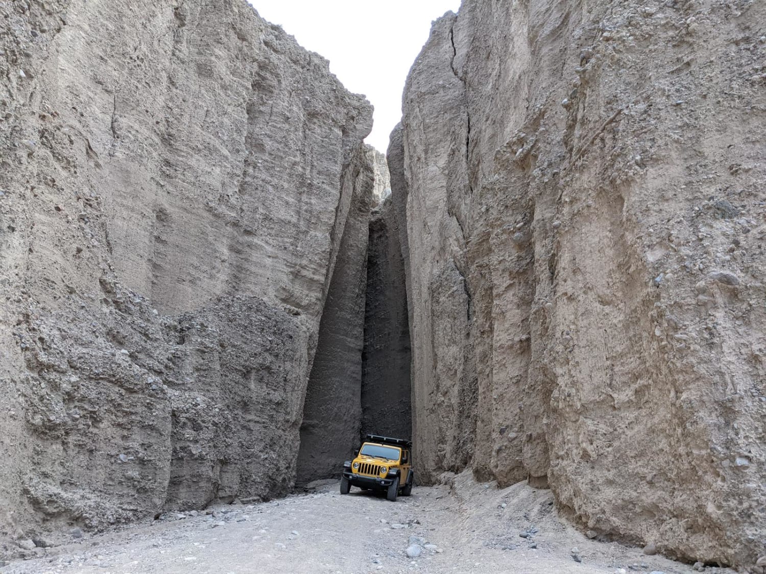
Mojave Road - Afton Canyon
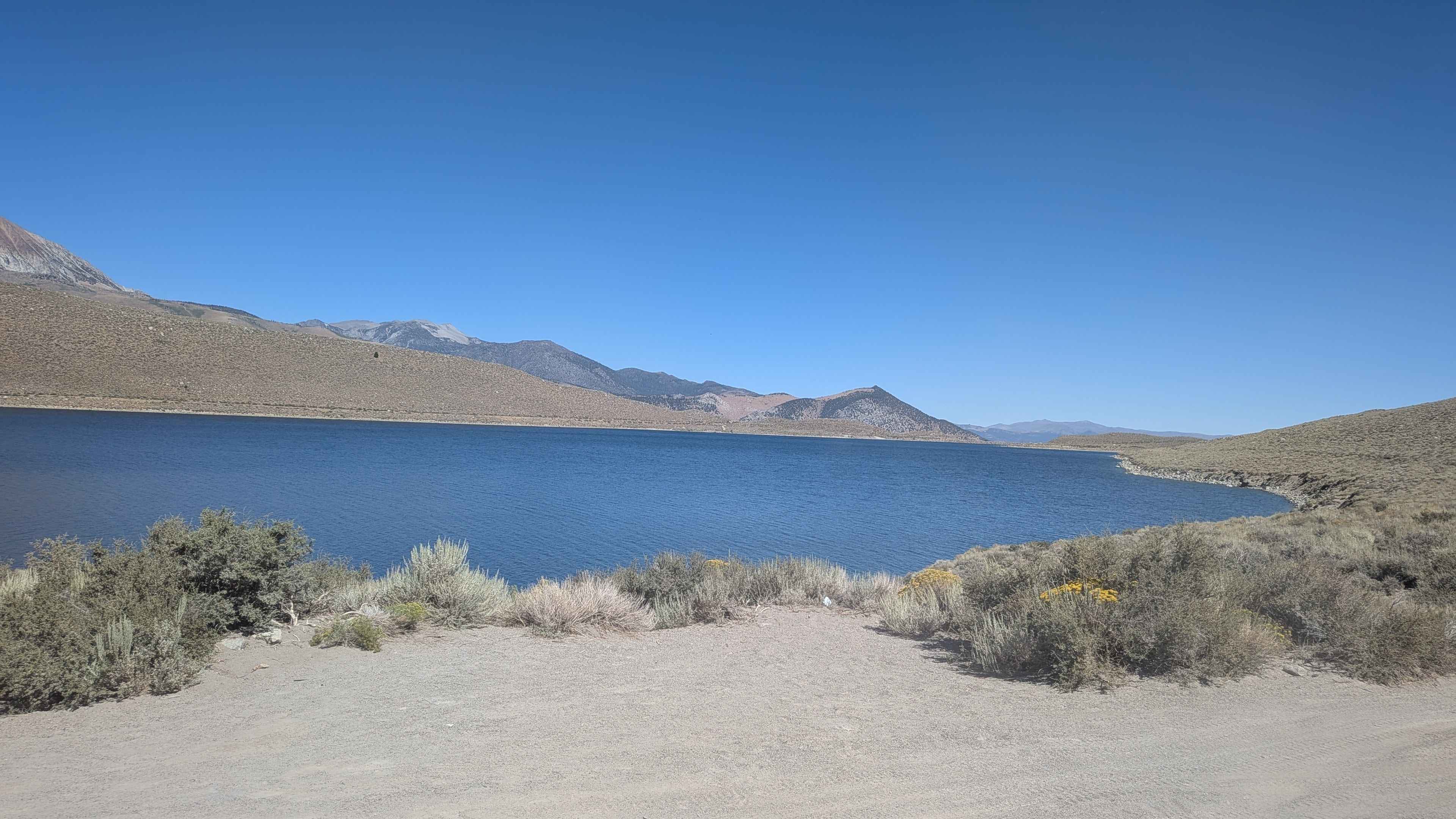
Grant Lake Road - FS 1S30
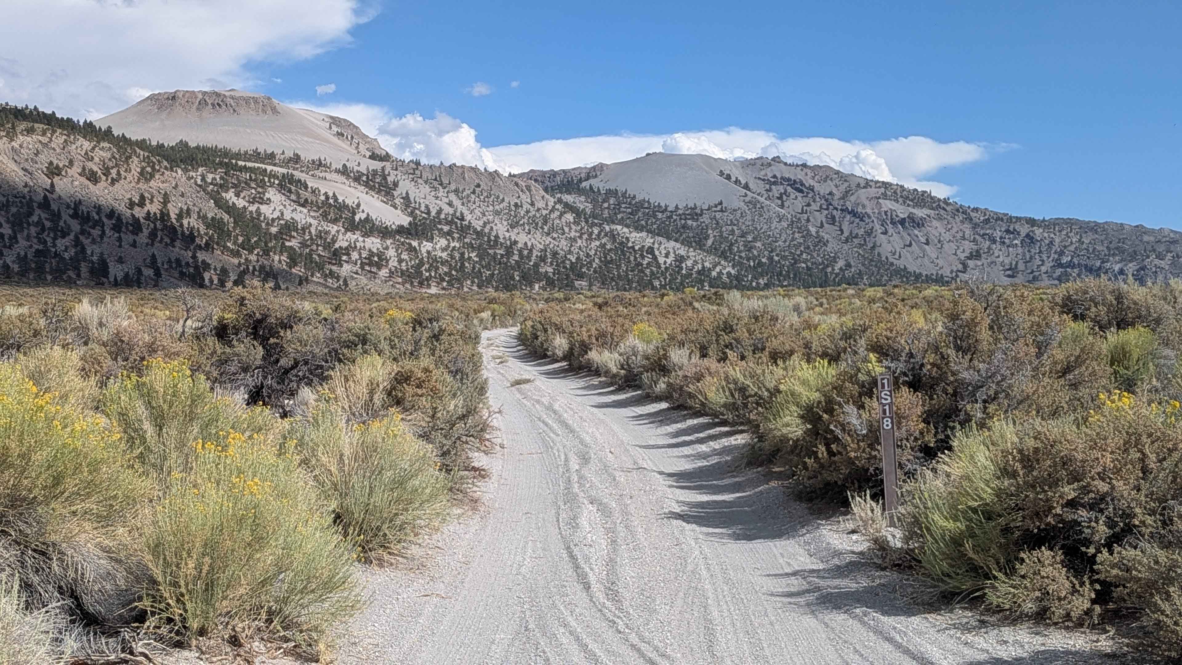
Crater Mountain - FS 1S18
The onX Offroad Difference
onX Offroad combines trail photos, descriptions, difficulty ratings, width restrictions, seasonality, and more in a user-friendly interface. Available on all devices, with offline access and full compatibility with CarPlay and Android Auto. Discover what you’re missing today!
