North Alabama Hills Vista Trail
Total Miles
5.2
Technical Rating
Best Time
Fall, Spring, Summer
Trail Type
Full-Width Road
Accessible By
Trail Overview
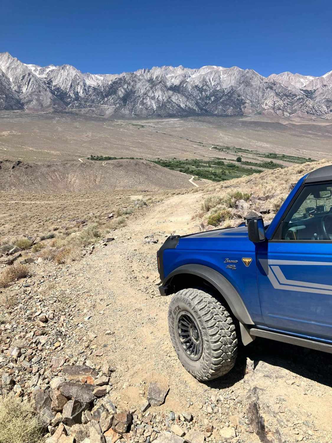
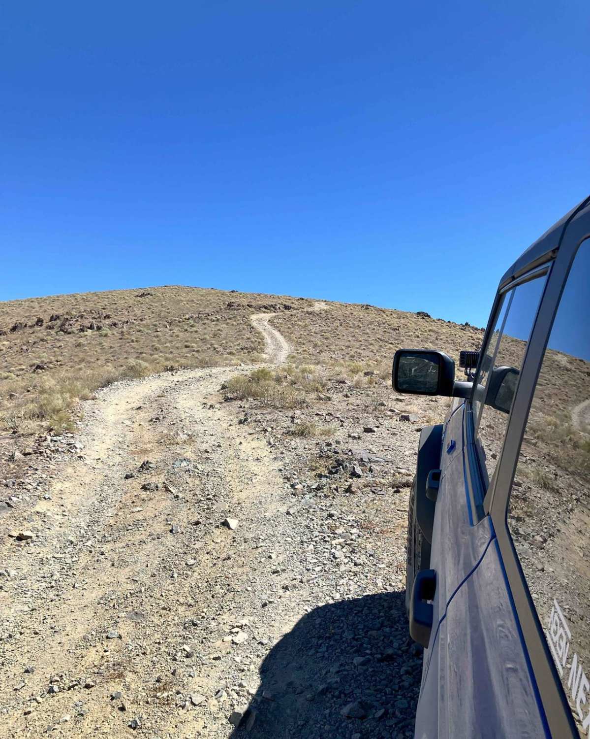
This trail is a technical out-and-back side route off Moffat Ranch Road near the main attraction, Movie Road Drive in North Alabama Hills. The trail starts with an immediate climb up the side of several hillsides that will eventually flatten out to a large parking area at the crest of the highest hill. From this vantage point, a beautiful elevated view of the Alabama Hills area and Sierra Mountains, including Mt. Whitney, will be possible. The trail then continues east across the ridgeline and transits several rocky step sections and side hill ledges consisting of loose rock. There are two other vista stopping points along the trail, one looking north toward the WWII Manzanar Internment Camp and the other looking southeast towards Lone Pine and Owens Lake. The latter vista point is also the turnaround area to return to the trailhead. Pay close attention to the trail path in this section, as it runs along the ridges of several high and steep hillsides that could make for a bad day if a wrong turn is made accidentally. Be sure to enjoy the 360-degree views, though, as this is one of the highest vantage point trails in the area. This is a high desert area where trash and human waste don't readily decompose, so be prepared to pack out both on your trip.
Photos of North Alabama Hills Vista Trail
Difficulty
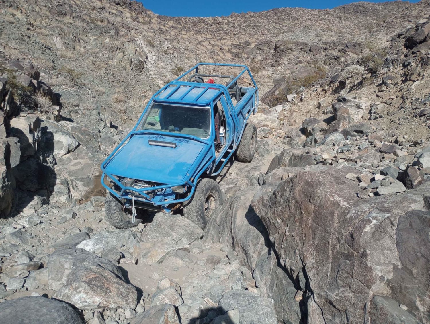
The trail begins with a steady climb up the side of a hill that predominantly consists of packed dirt strewn with small loose rocks. The ascent angle will reach about 15 degrees near the top of climb. Some later sections have larger partially buried rocks jutting out up to 12 inches high both in the middle and along the sides of the single-track path. There are also a few sections with rocky steps that will require moderate to high clearance to navigate easily. One short section in the middle of the trail slants to the side, which consists of loose piled rocks and thus should be cautiously transited. Climbs will be much more challenging if the area is wet or covered with light snow. This trail is single vehicle width in most areas and is in an area where off-trail driving is highly discouraged (don't crush the brush). There are a couple areas at the vista points, though, that can accommodate several vehicles at a time and allow for passing or turning around.
Status Reports
Popular Trails
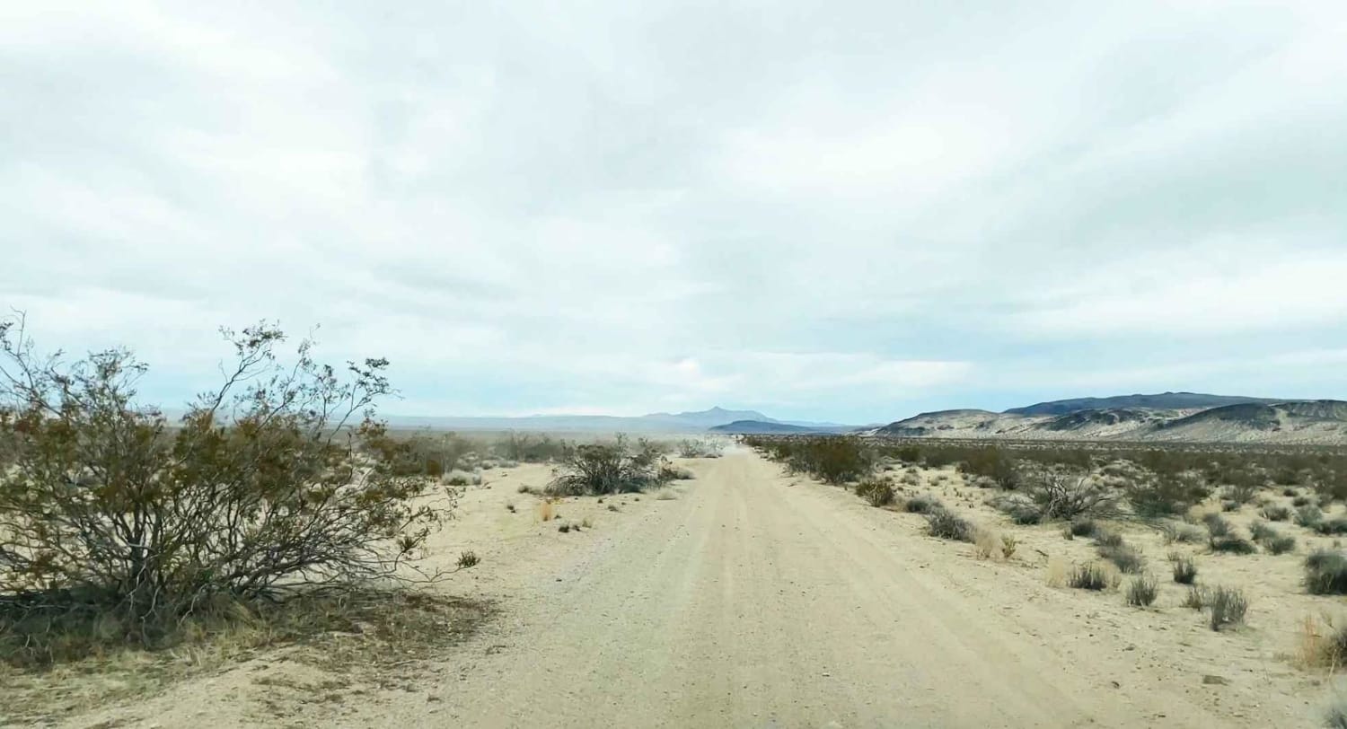
Black Mountain Wilderness Route
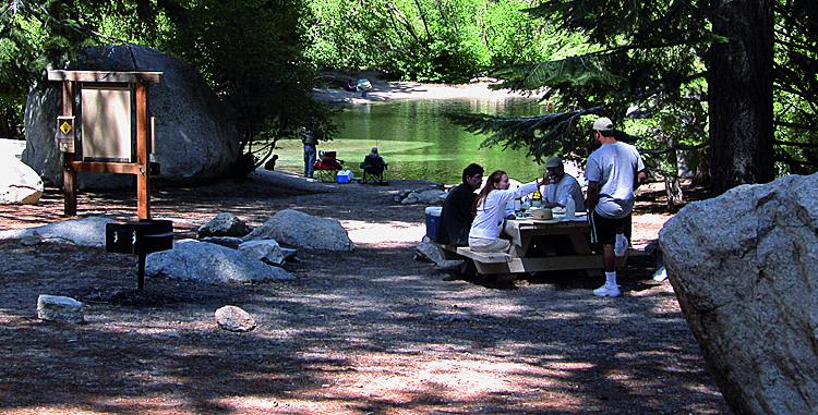
Movie Road, Alabama Hills
Jack North

Red Point - (5001K-002)
The onX Offroad Difference
onX Offroad combines trail photos, descriptions, difficulty ratings, width restrictions, seasonality, and more in a user-friendly interface. Available on all devices, with offline access and full compatibility with CarPlay and Android Auto. Discover what you’re missing today!
