Radford Truck Trail - FS 2N06
Total Miles
5.8
Technical Rating
Best Time
Spring, Summer, Fall
Trail Type
Full-Width Road
Accessible By
Trail Overview
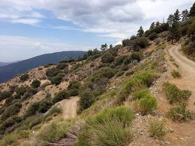
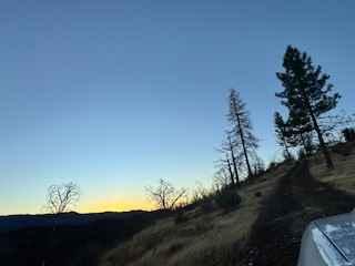
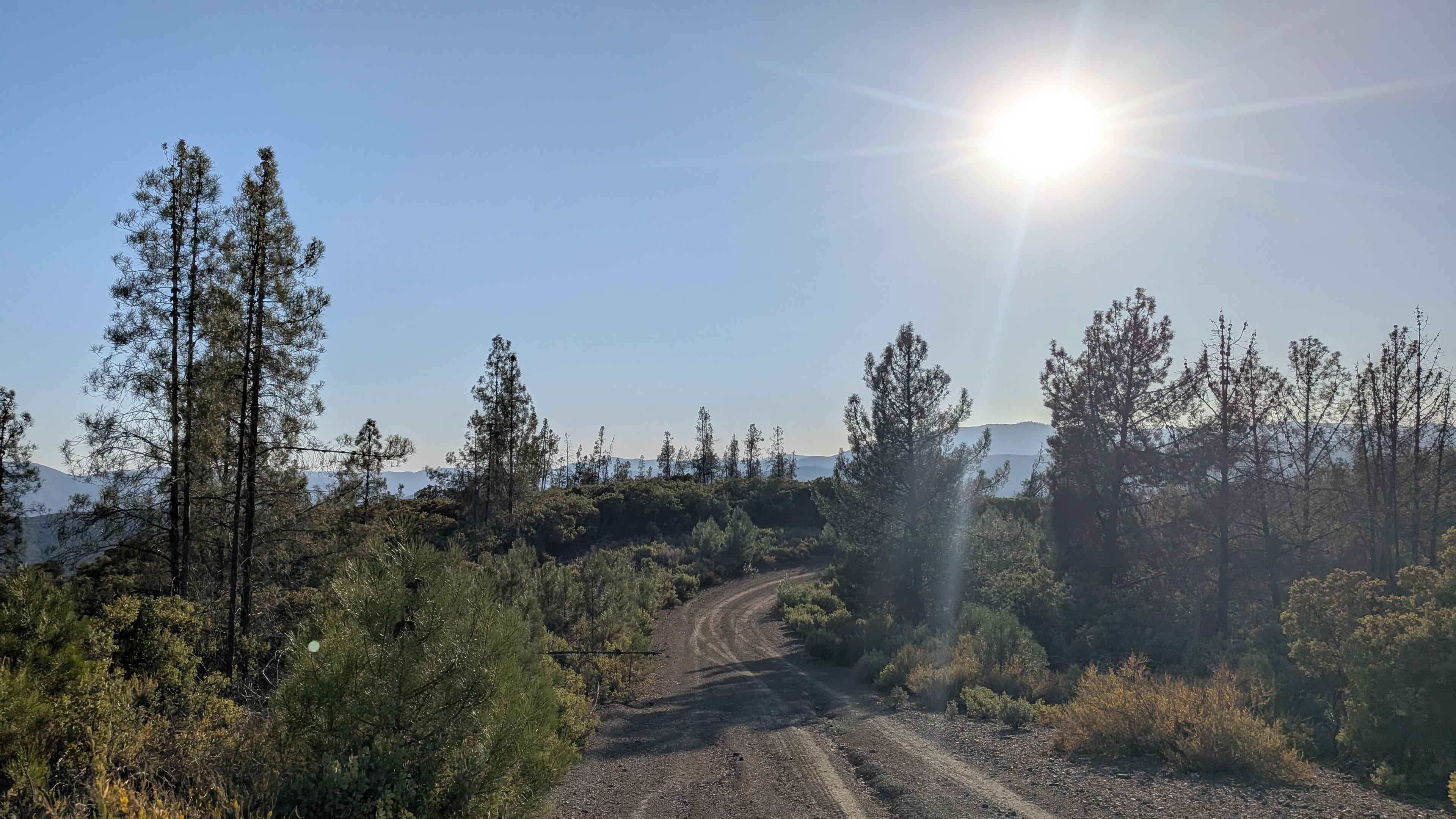
Closed until 12/31/24 per Forest Closure Order 05-12-52-24-02, Radford Fire Closure Area. FS 2N06 - Radford Truck Trail is a winding fire road in the San Bernardino National Forest just south of Big Bear Lake. Radford Truck Trail runs from the current Converse Station north up the Converse Creek drainage. It then turns east and traverses up along the slopes that make up the west side of Staircase Canyon and then swings north and west to join 2N10 behind Bear Mount and Snow Summit Ski areas. This less-traveled road leads you to a maze of off-road, hiking, and biking trails in the Big Bear South Shore area. As the road climbs, watch your surroundings for the change from the lower altitudes, dominated by Live and California Black Oak trees, then quickly changing with the rise in altitude to a conifer forest dominated by tall Ponderosa Pine sheltering you along the way. At the higher elevations and off to the south are grand views of the valley below and Mount San Gorgonio.
Photos of Radford Truck Trail - FS 2N06
Difficulty
Radford Truck Trail is made up of hard-packed sandy dirt. Its 5.8-mile length moves northeast, starting at 5644' and rising to its end at 7857 feet. There are no obstacles and several locations to pull over to let other vehicles pass. There are some locations to drive to one side to avoid rocks that have slid down the mountainside. The trail signage shows 2N06 rated by the Forest Service as Black Diamond, but it's never been that difficult. The trail is suitable for an off-road driver with minimal experience.
History
The history of this trail is a bit of a mystery, unlike another trail that runs more or less parallel to it called Clarks Grade (1N54). It appears on several old maps as a donkey trail probably used to get supplies up to the Big Bear area. It has been argued that this route follows older Indian trails from the acorn-gathering areas of the Santa Ana valley to the higher valleys. It appears to have been improved in the 1930's possibly as a part of a CCC project since there was a CCC maintenance facility just off this trail.
Status Reports
Radford Truck Trail - FS 2N06 can be accessed by the following ride types:
- High-Clearance 4x4
- SUV
- SxS (60")
- ATV (50")
- Dirt Bike
Radford Truck Trail - FS 2N06 Map
Popular Trails
Lower Blythe Olgilby
Little Box Canyon Meccacopia Loop
Ponderosa Way North - FS 3S02
The onX Offroad Difference
onX Offroad combines trail photos, descriptions, difficulty ratings, width restrictions, seasonality, and more in a user-friendly interface. Available on all devices, with offline access and full compatibility with CarPlay and Android Auto. Discover what you’re missing today!

