Red Mountain Road
Total Miles
1.8
Technical Rating
Best Time
Summer, Fall
Trail Type
Full-Width Road
Accessible By
Trail Overview
This short 1.8-mile point-to-point trail connects Rattlesnake Road and Signal Hill Trail. Service vehicles typically use this trail to access the Signal towers on top of Signal Hill. It is also the back way out from the Signal Hill Trail. Signal Hill has vast views of the surrounding Sierra Nevada Mountain Range. An old stone structure was used as a Lookout for the Forest Service.
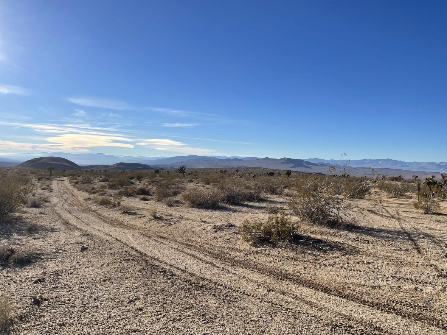
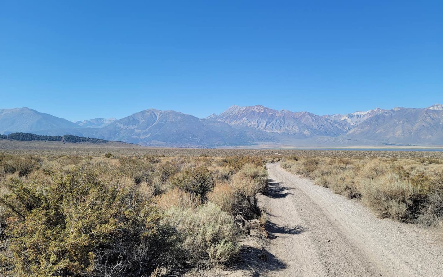
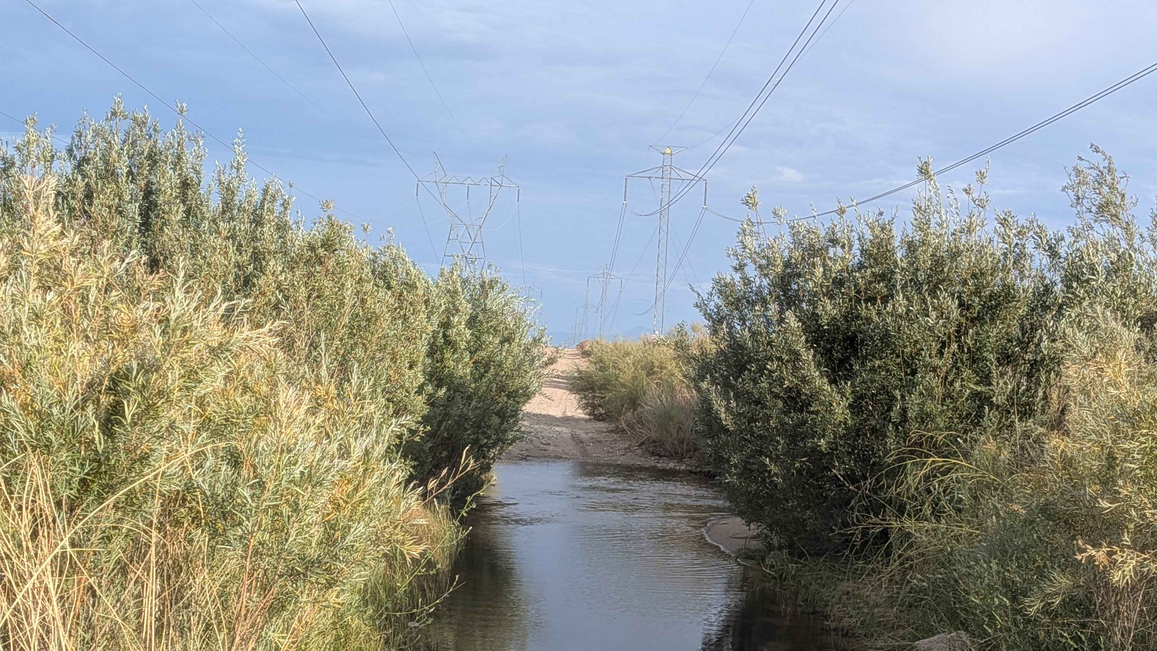
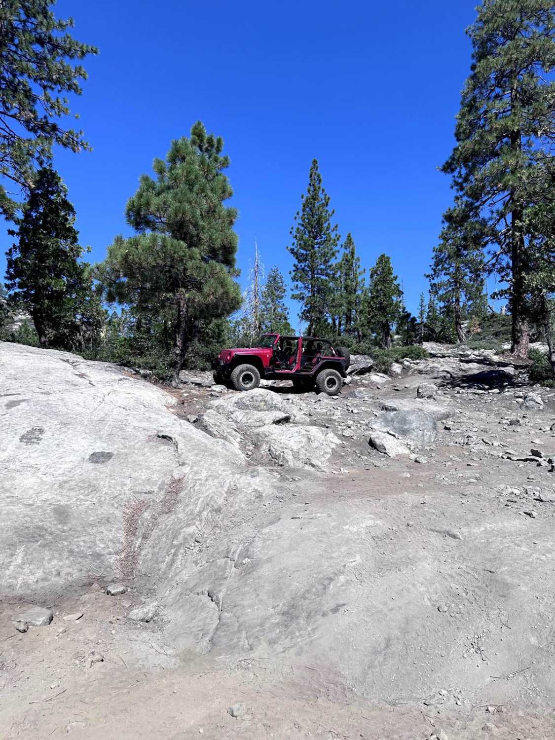
Photos of Red Mountain Road
Difficulty
Hill covered with loose rocks under 12" in height. Mostly one vehicle wide.
Red Mountain Road can be accessed by the following ride types:
- High-Clearance 4x4
- SUV
- SxS (60")
- ATV (50")
- Dirt Bike
Red Mountain Road Map
Popular Trails

Savoy's Bumpy Return

Casa Diablo Mine Cut Off - FS 04S04

3S151 Crowley Lake Trail

Power Line Road NW
The onX Offroad Difference
onX Offroad combines trail photos, descriptions, difficulty ratings, width restrictions, seasonality, and more in a user-friendly interface. Available on all devices, with offline access and full compatibility with CarPlay and Android Auto. Discover what you’re missing today!

