Rouse Hill Road
Total Miles
16.4
Technical Rating
Best Time
Spring, Summer
Trail Type
Full-Width Road
Accessible By
Trail Overview
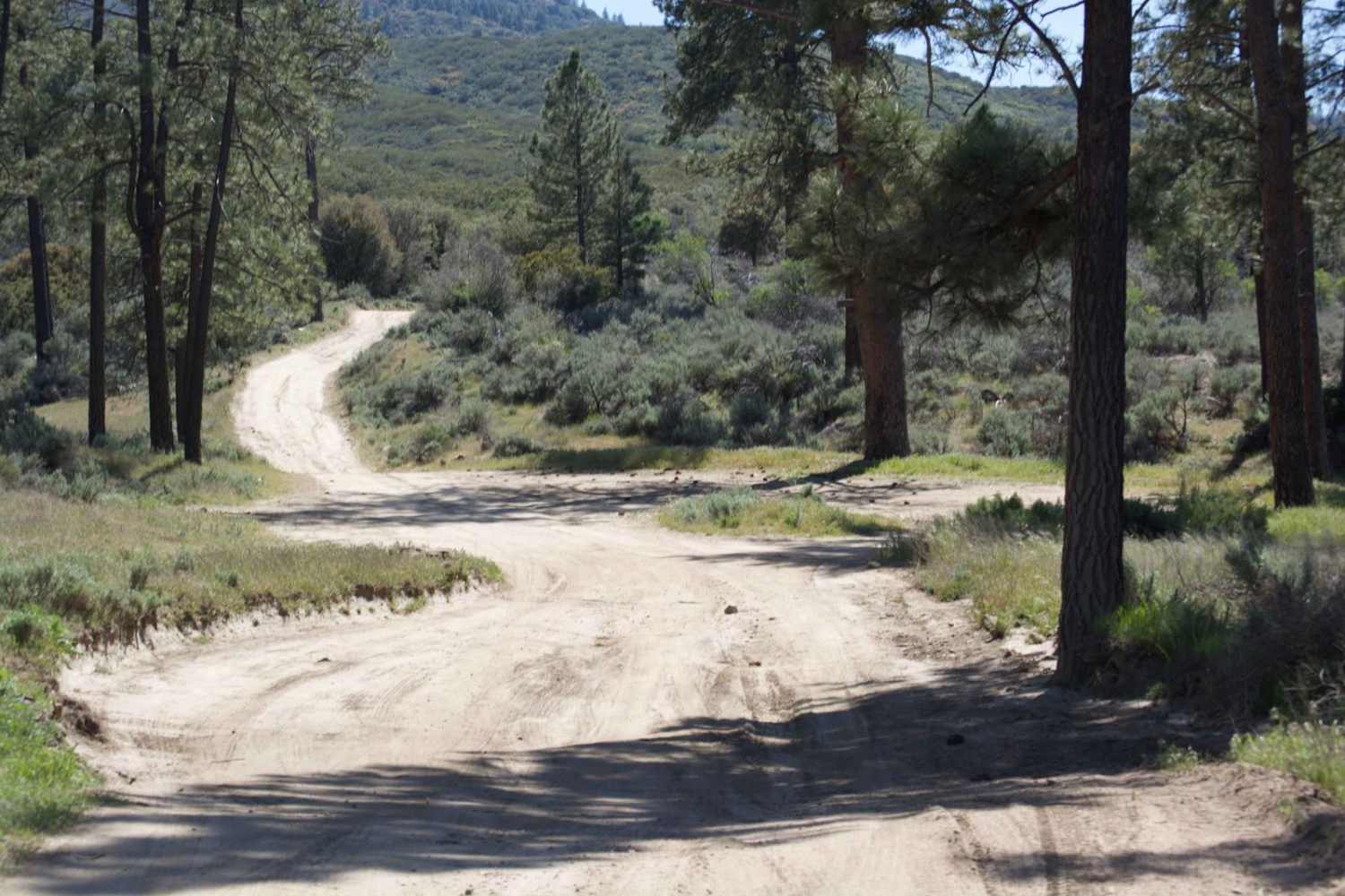
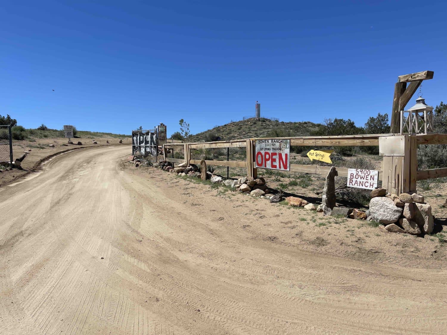
Rouse Hill Road is for street-legal vehicles only; no green stickers or OHV vehicles. Full-size vehicles are at home here, as the trail is a single track with plenty of room. The beginning of this end of the trail winds through the eastern side of Washburn Ranch which is a large grapefruit grower. The trail winds through a grove, so stay on the appropriate trail so you do not wind up on private property. Continue south over mountainous terrain on hard-packed dirt for approximately 17 miles until it connects to Thomas Mountain Road, which will lead you either up Thomas Mountain to the south, or back out to Highway 74 near the entrance to Lake Hemet Campground. The trail is mostly rocky dirt, with several areas that are rutted out from a heavy rainy season. Toward the Thomas Road junction, the trail becomes sandier and less rutted. Several pull-offs can be campsites but have no amenities. The area boasts beautiful views of Thomas Mountain, Rouse Hill, San Jacinto Valley, and Lake Hemet. Cell service is 5G (T-Mobile) the entire length of the trail.
Photos of Rouse Hill Road
Difficulty
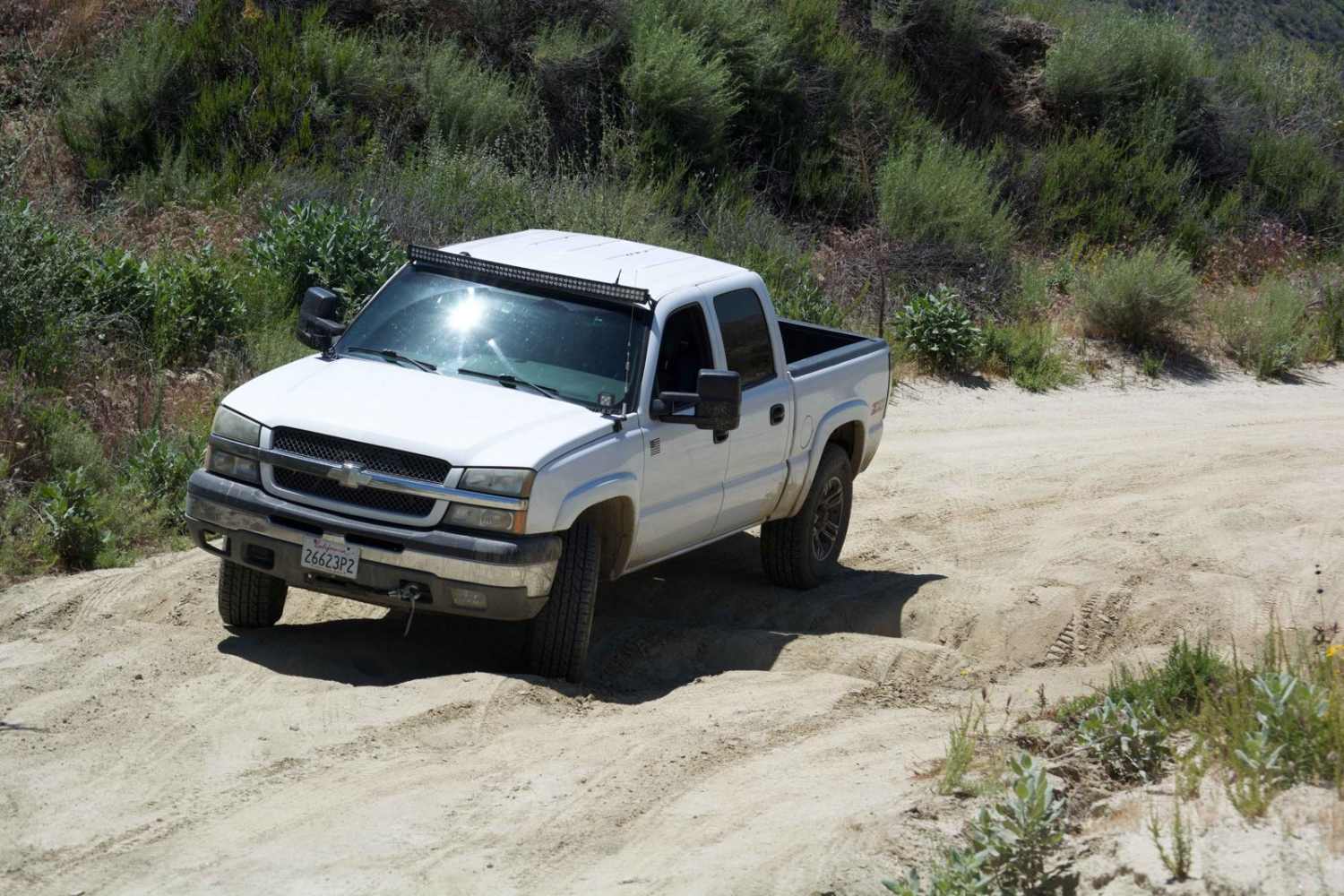
Several areas contain deep ruts with soft sand that a heavy vehicle can slide into, which may require recovery. Some fallen rocks from hillsides are easily passable by most vehicles.
Status Reports
Popular Trails
Hauser Geode Beds West

Devil's Canyon Road
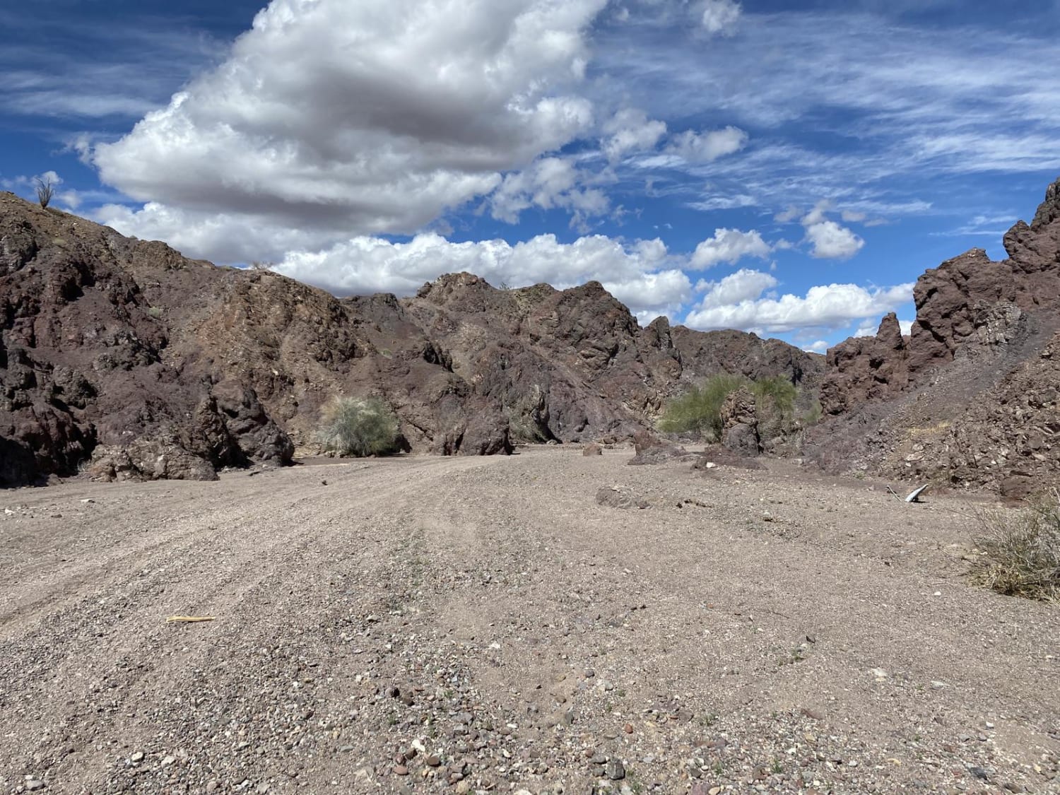
Arrastia Wash Trail
The onX Offroad Difference
onX Offroad combines trail photos, descriptions, difficulty ratings, width restrictions, seasonality, and more in a user-friendly interface. Available on all devices, with offline access and full compatibility with CarPlay and Android Auto. Discover what you’re missing today!
