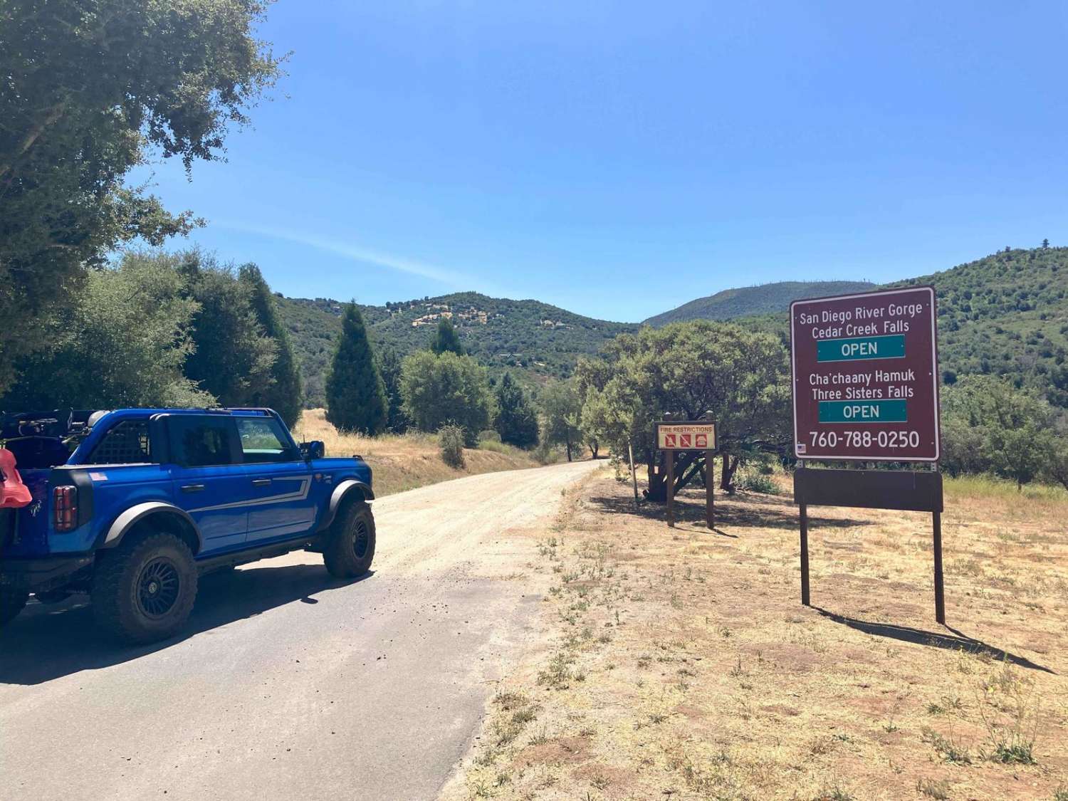
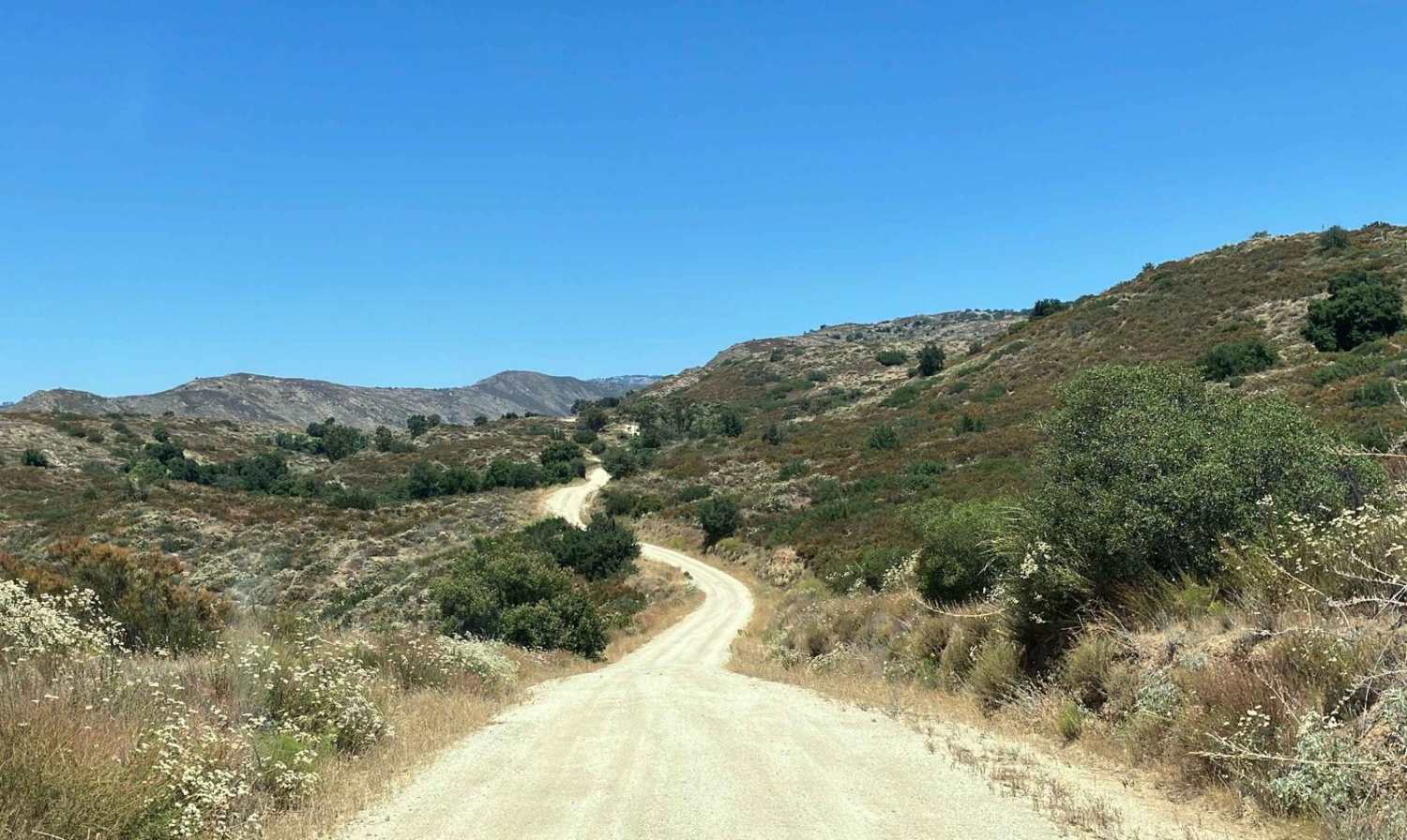
Saddleback Mountain Loop
Total Miles
15.1
Technical Rating
Best Time
Spring, Summer, Fall, Winter
Trail Type
Full-Width Road
Accessible By
Trail Overview
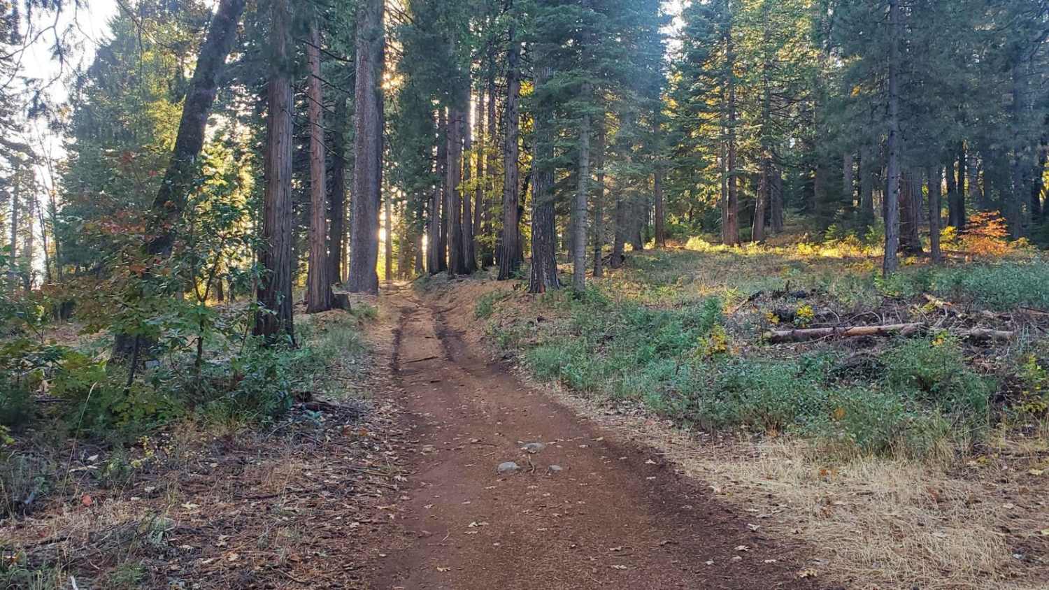
This trail cuts through a beautiful stretch of backcountry in eastern San Diego County and passes near hiking trailheads to three different waterfalls. The loop starts and finishes on graded dirt roads and has a more serious middle section that runs high along several canyon walls above several creeks that pass through the area. The middle section requires high-clearance vehicles to transit several areas and also crosses two small creeks. Conditions on the trail will be much different and more challenging if rain or light snow is present which will make 4WD a necessity. The portion of the trail that overlaps Eagle Creek Rd requires street-legal vehicles, as it is a county-maintained road. Please note that the middle section of this trail can be gated closed by the U.S. Forest Service depending on weather-related conditions and seasonal changes. Check the Cleveland National Forest webpage at https://www.fs.usda.gov/detail/cleveland/?cid=STELPRDB5352962 and look for the current status of road 13S11 before heading out to this area.
Photos of Saddleback Mountain Loop
Difficulty
This trail loop begins and ends with sections of graded dirt roads that are wide enough to pass oncoming traffic. The middle section is only single vehicle track width with few places to pass other vehicles and has multiple berms of up to a foot high that must be transited. The middle section is also unmaintained and uneven with scattered rocks as it runs high up on the side of several canyons. There are sheer drops of a hundred feet or more on one side of the trail in several places, so careful attention to tire placement should be maintained. There are two small creek crossings that will likely swell to a foot or more deep and up to 10 feet wide with heavy rain. The brush can be tight for wider vehicles in a few areas.
Status Reports
Saddleback Mountain Loop can be accessed by the following ride types:
- High-Clearance 4x4
- SUV
Saddleback Mountain Loop Map
Popular Trails
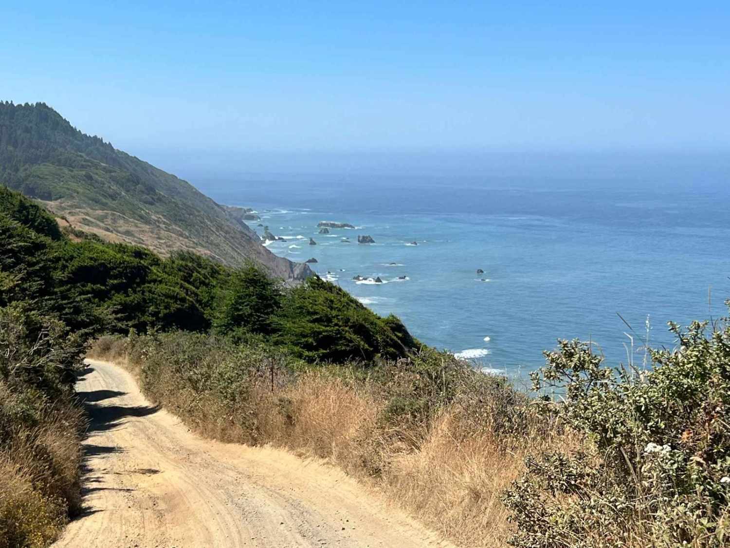
Usal Road (Southern Portion)
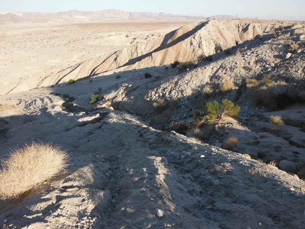
Diablo Dropoff
Giant Gap (FS 26-006)

Hawkins Peak Road
The onX Offroad Difference
onX Offroad combines trail photos, descriptions, difficulty ratings, width restrictions, seasonality, and more in a user-friendly interface. Available on all devices, with offline access and full compatibility with CarPlay and Android Auto. Discover what you’re missing today!
