SC39
Total Miles
5.0
Technical Rating
Best Time
Spring, Fall, Winter
Trail Type
60" Trail
Accessible By
Trail Overview
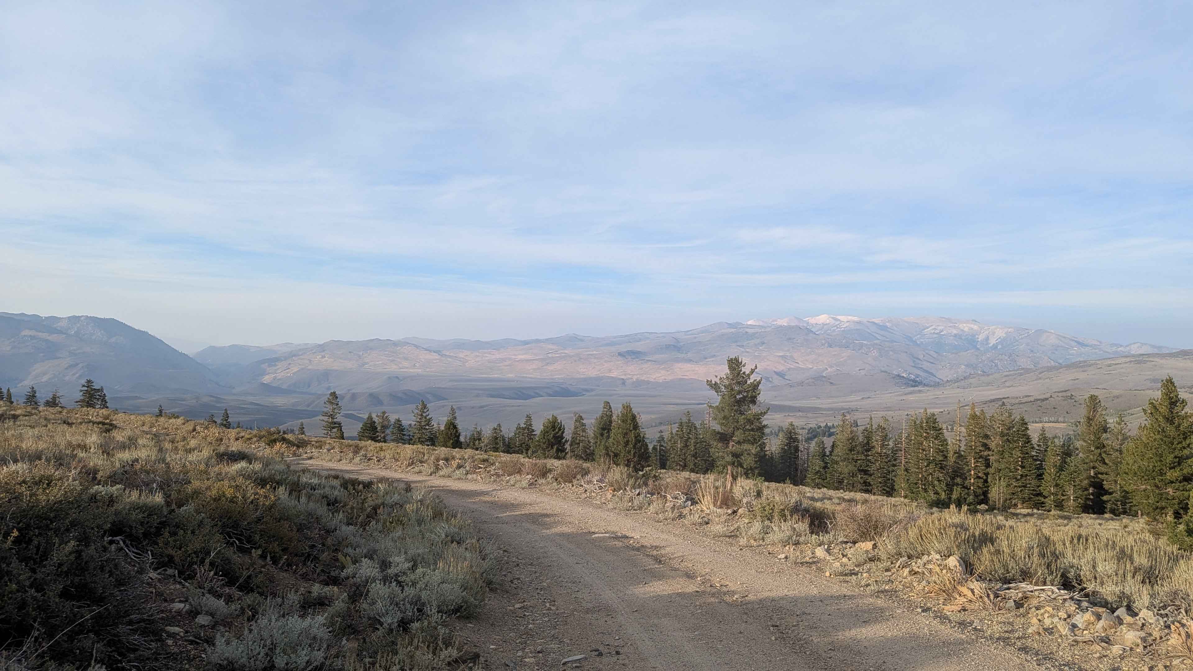
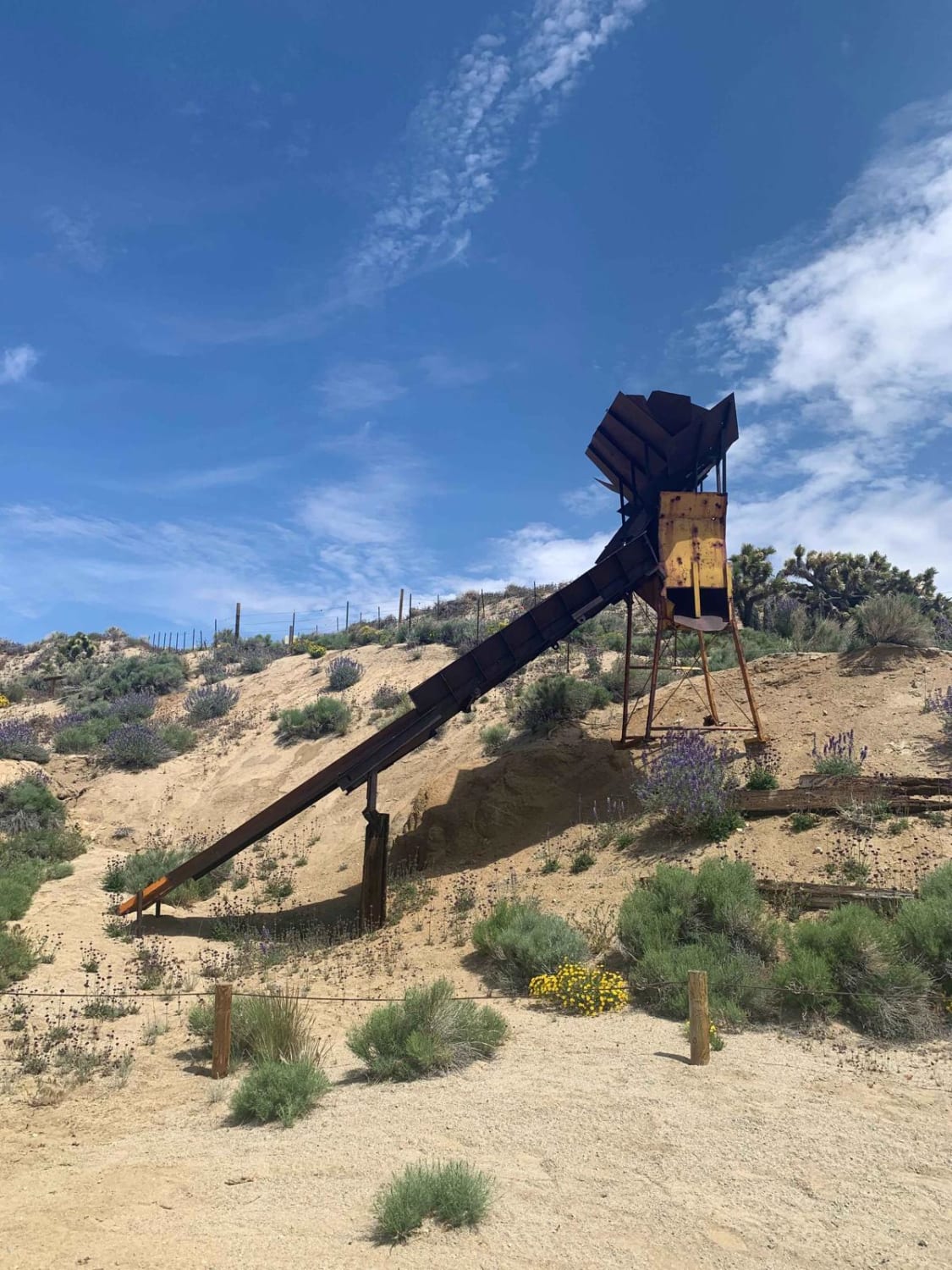
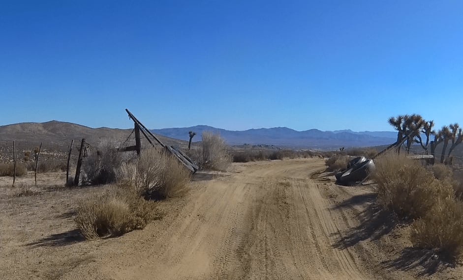
The beginning of trail starts right off SC103 and then begins a long climb into the mountains. This section provides great views of the Piute Mountains to the West, Dove Springs down to the right, and the El Paso Mountains far off to the East.The trail is normally in good shape but has a few tight turns that require the driver pay attention. About halfway through this route an old tall mine is visible to the left with a short trail that will take you over so you can stop and check it out.As you leave this section and continue North (left turn back onto the trail), there are a couple of soft steep downhill sections. Low gear is recommended. The last section is very soft and very steep. The trail can have deep ruts but in low gear with some braking, it is passable without too much trouble.
Photos of SC39
Difficulty
A couple downhill sections that are steep and very soft.
Status Reports
SC39 can be accessed by the following ride types:
- SxS (60")
- ATV (50")
- Dirt Bike
SC39 Map
Popular Trails

Arcularious Old - FS 2S85

EMHT Segment 4: Fenner to Needles

Jack Robinson - FS 16-046-08

Stockade Flat Road
The onX Offroad Difference
onX Offroad combines trail photos, descriptions, difficulty ratings, width restrictions, seasonality, and more in a user-friendly interface. Available on all devices, with offline access and full compatibility with CarPlay and Android Auto. Discover what you’re missing today!

