South Fork Trail
Total Miles
1.2
Technical Rating
Best Time
Spring, Summer, Fall, Winter
Trail Type
Full-Width Road
Accessible By
Trail Overview
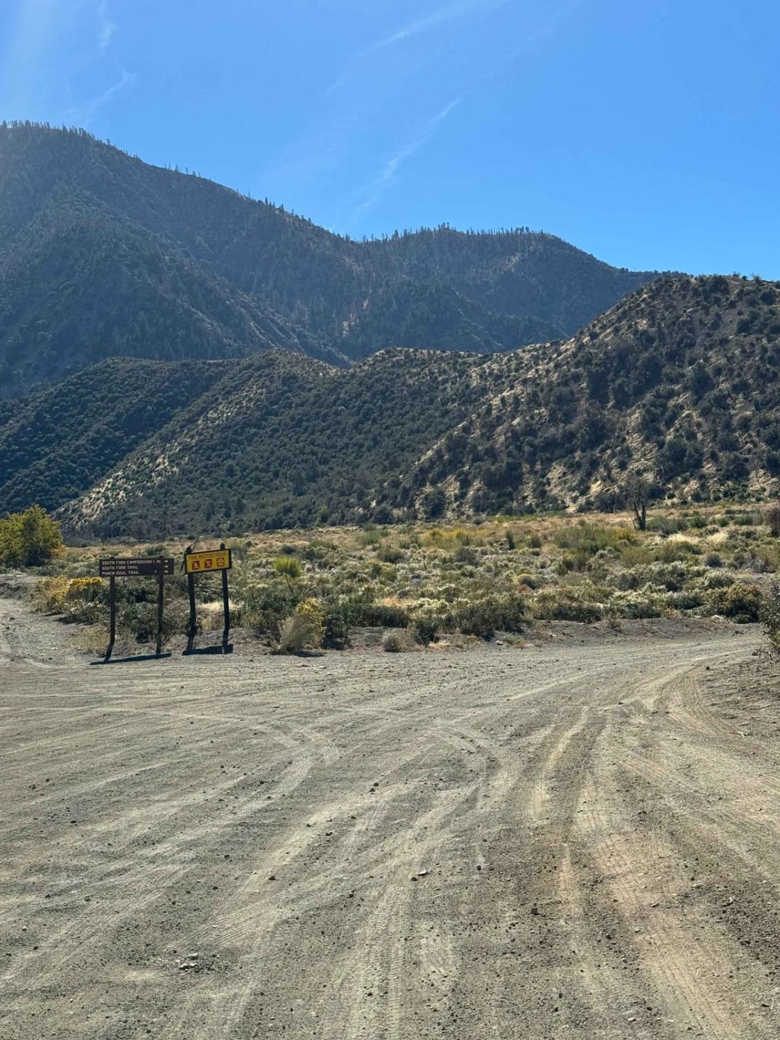
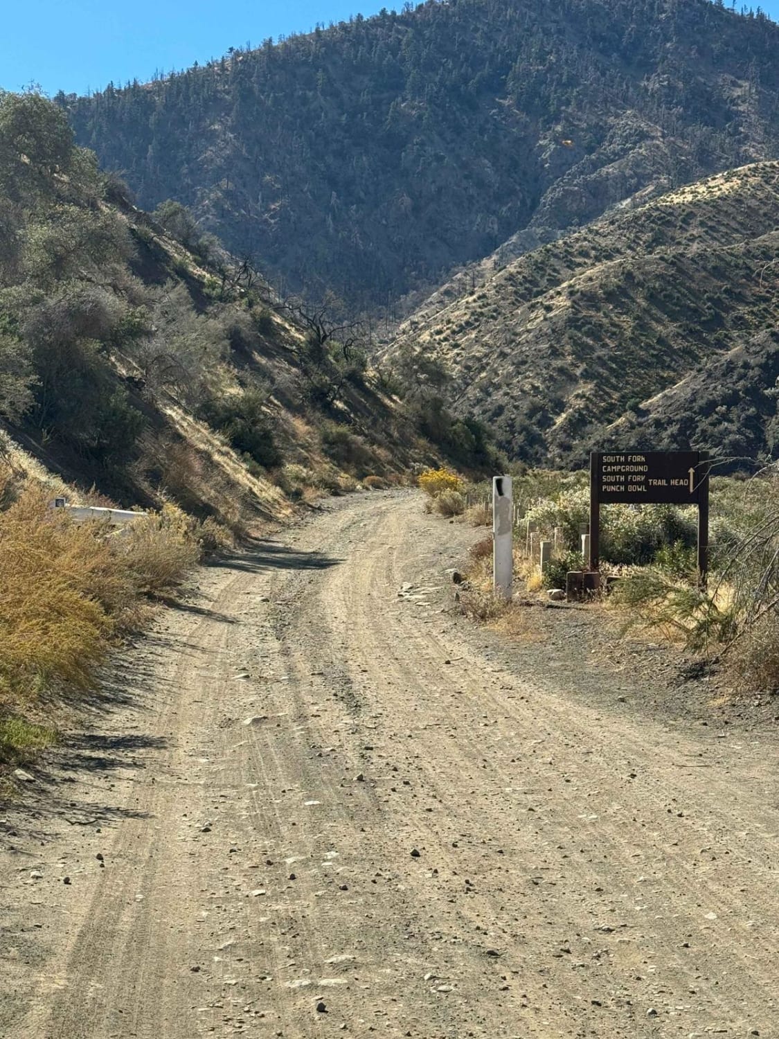
This trail starts at the south side of Big Rock Creek Road and is marked on a wood sign. It is easily accessible and can be done in just about any 2WD stock vehicle. During wet seasons, there is potential for rock slides and deep water crossings, so be cautious during those times. Also, be aware that there can be leeches in the creek. Cell service is available throughout the entire trail and tow trucks can easily travel the trail, so being stranded is not an issue here. There are also gas stations within a few miles of this trail.
Photos of South Fork Trail
Difficulty
During most of the year, this trail is a 1. During wet seasons, there are potential water crossings up to a foot deep and rock slides from the mountain beside the trail can cause off-camber conditions with obstructions such as boulders on the trail.
Status Reports
South Fork Trail can be accessed by the following ride types:
- High-Clearance 4x4
- SUV
South Fork Trail Map
Popular Trails
Cady Mountain Loop - Part 5

Sheep Camp Road - FS4S03
Obsidian Dome Road/Glass Flow Road - NF2S10
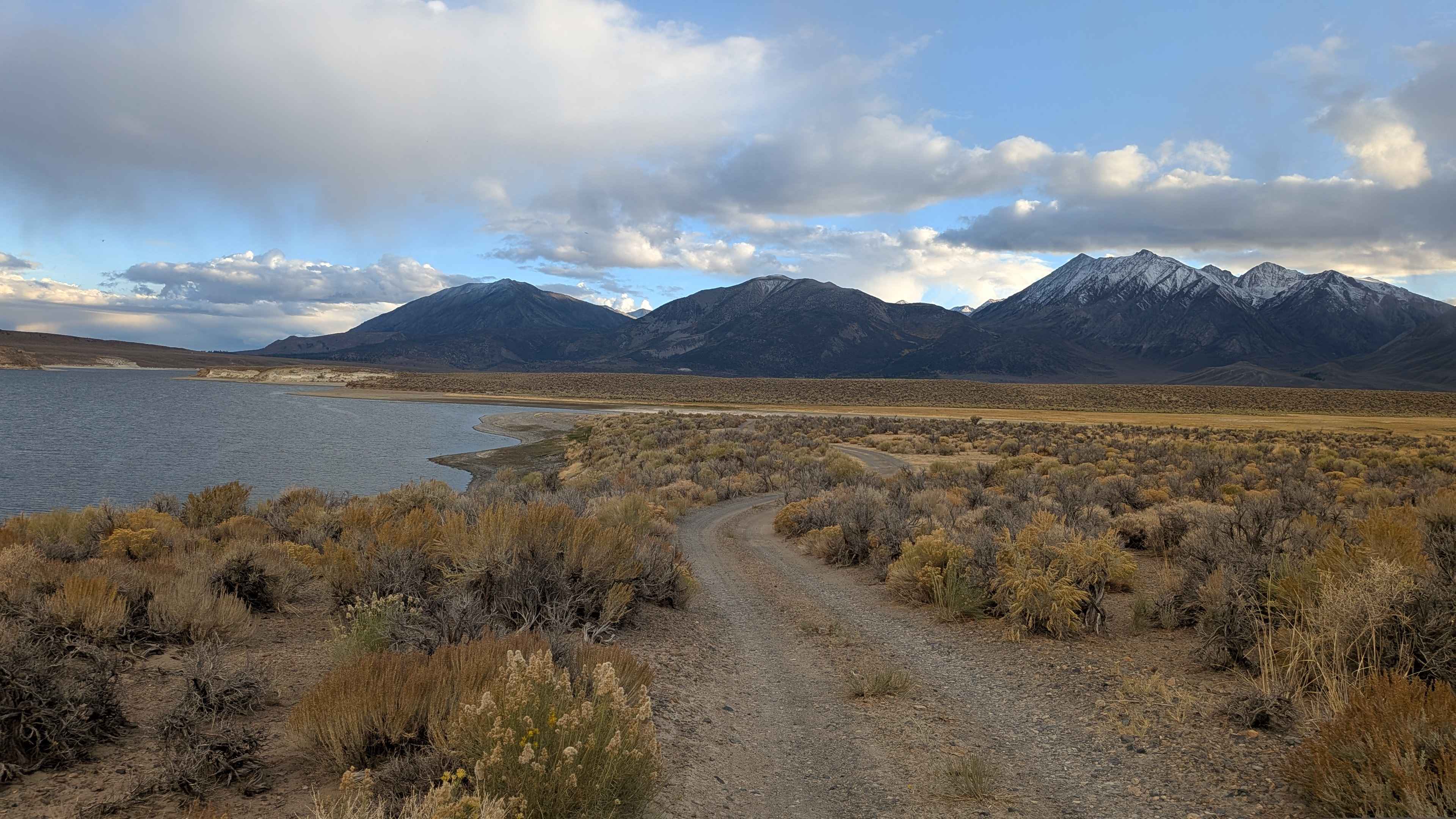
Lake Crowley North Landing 2
The onX Offroad Difference
onX Offroad combines trail photos, descriptions, difficulty ratings, width restrictions, seasonality, and more in a user-friendly interface. Available on all devices, with offline access and full compatibility with CarPlay and Android Auto. Discover what you’re missing today!
