Thomas Hunting Grounds
Total Miles
11.7
Technical Rating
Best Time
Spring, Summer, Fall
Trail Type
Full-Width Road
Accessible By
Trail Overview
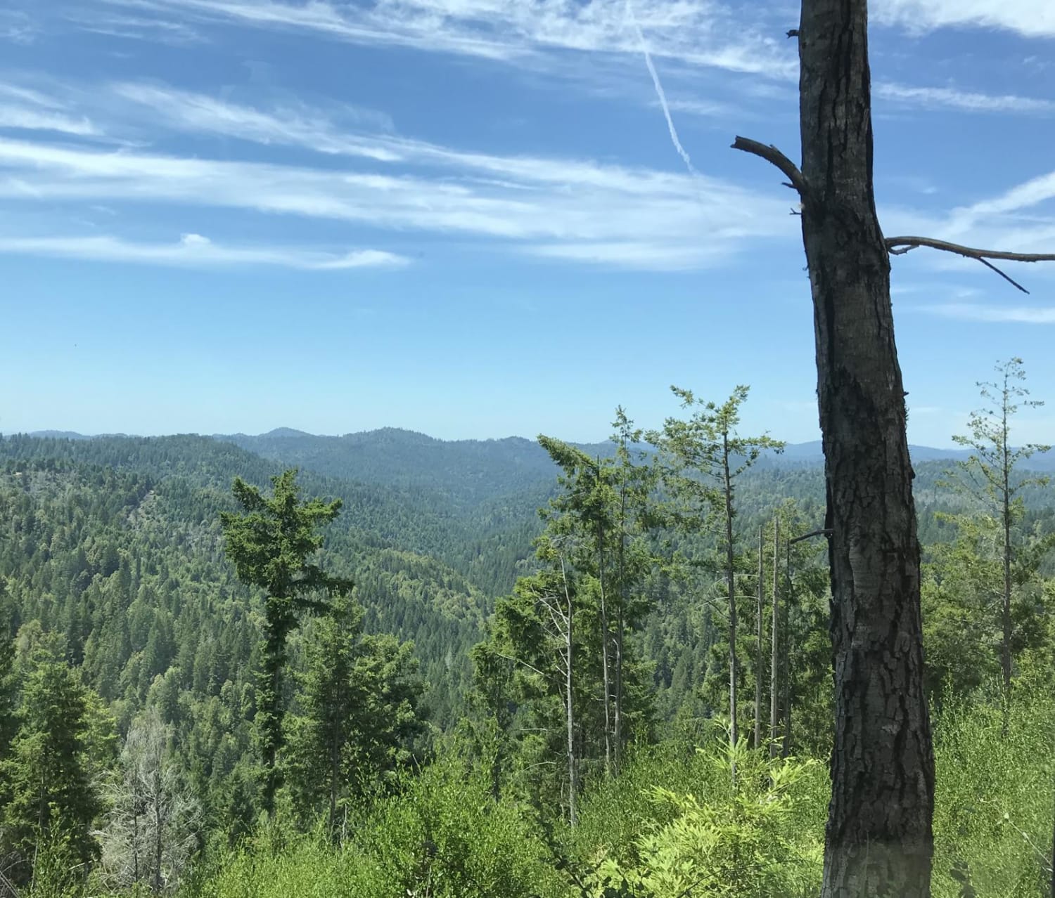
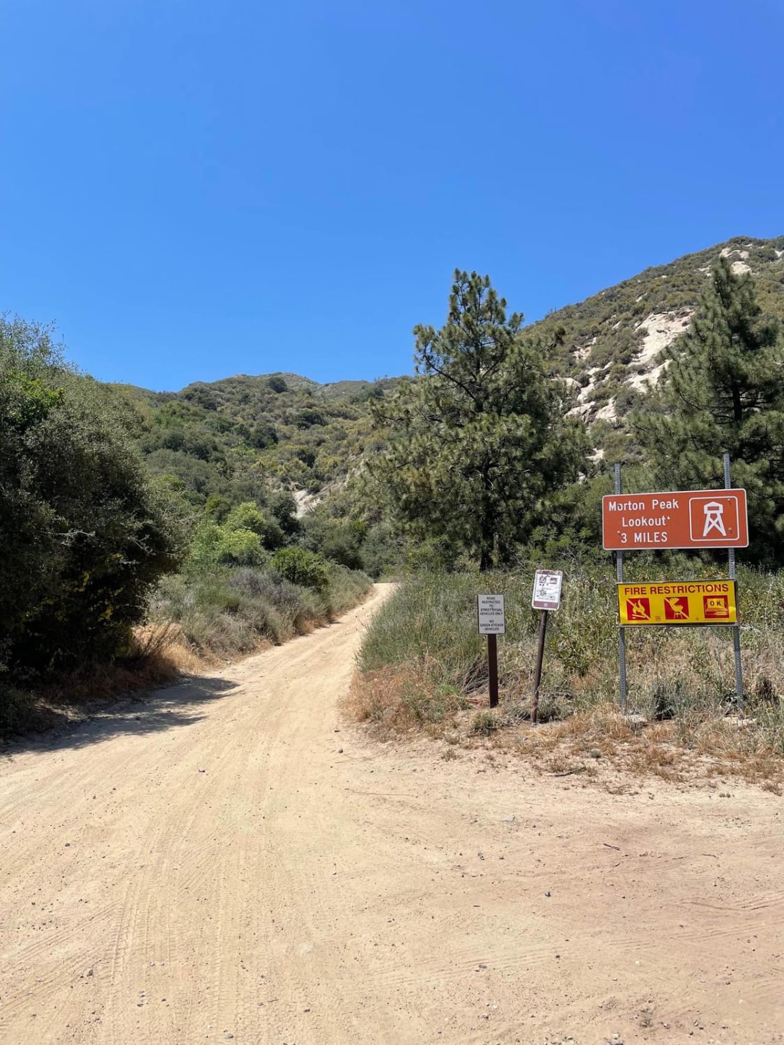
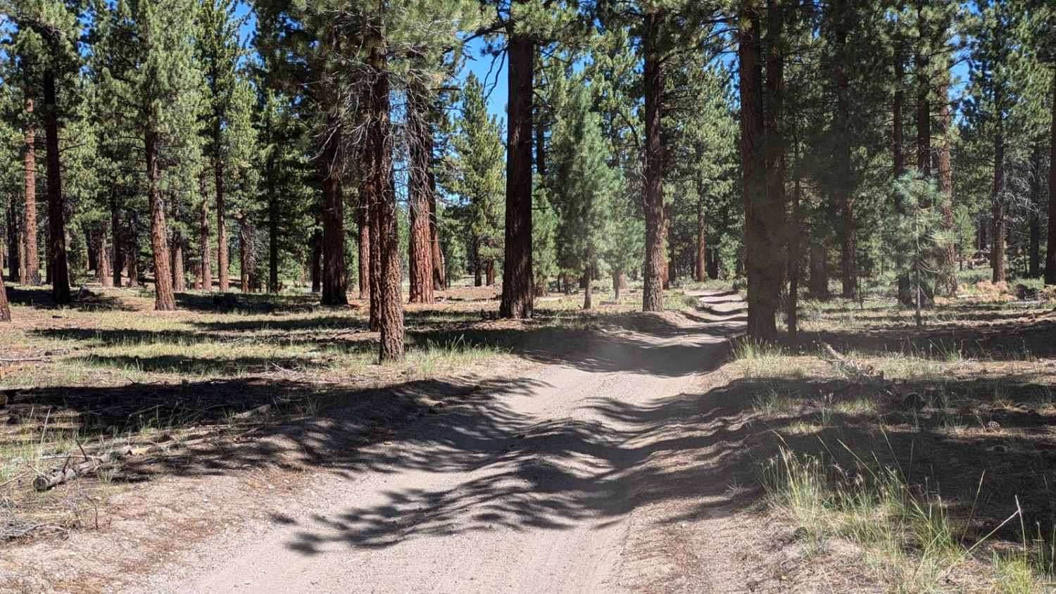
The Thomas Hunting Grounds Trail (1N12), often also referred to as the Morton Peak Trail, is an easy dirt road that takes you from the chaparral and shrubs of Mill Creek to the oaks and pines of the San Bernardino National Forest before dropping you in the town of Angelus Oaks. The Thomas Hunting Grounds themselves offer yellow post sites for dispersed camping, and the Santa Ana River Trail offers hiking for those interested in traveling by foot. Pay attention and be mindful of others as this road is popular for hiking and mountain biking as well as 4x4 and dual sport riding.
Photos of Thomas Hunting Grounds
Difficulty
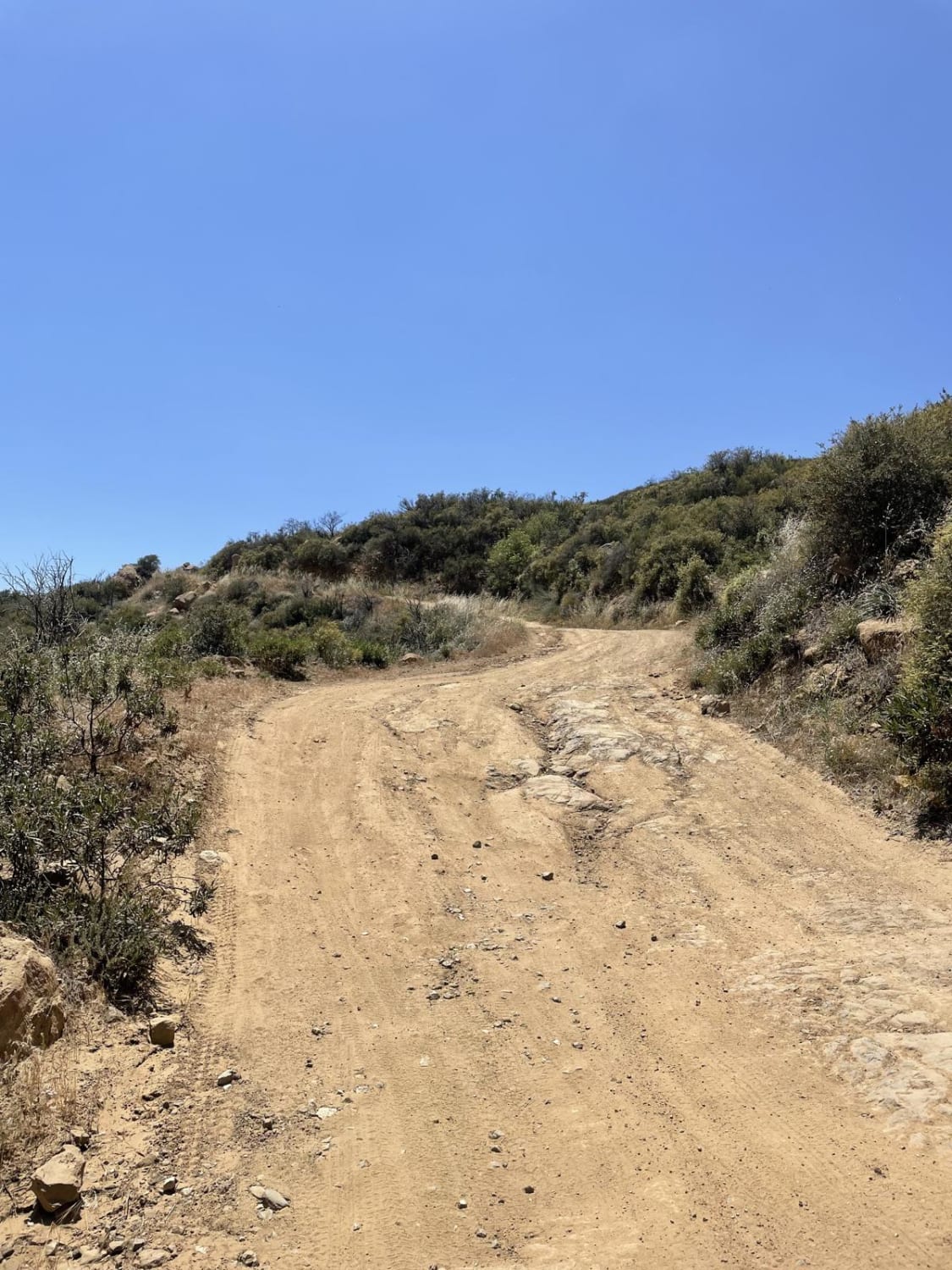
Easy dirt forest service road. Clearance and good tires make 4wd mostly unnecessary in dry conditions however use caution in the winter months and after heavy rains when this road should only be attempted with 4wd. Road is suitable for rigs of all sizes with ample places to pass.
Status Reports
Popular Trails

Sherwood Road

Radford Frontline Road - FS 104

3S35J Water Tower Loop
The onX Offroad Difference
onX Offroad combines trail photos, descriptions, difficulty ratings, width restrictions, seasonality, and more in a user-friendly interface. Available on all devices, with offline access and full compatibility with CarPlay and Android Auto. Discover what you’re missing today!


