Trans-Ocotillo Connector
Total Miles
6.3
Technical Rating
Best Time
Winter
Trail Type
Full-Width Road
Accessible By
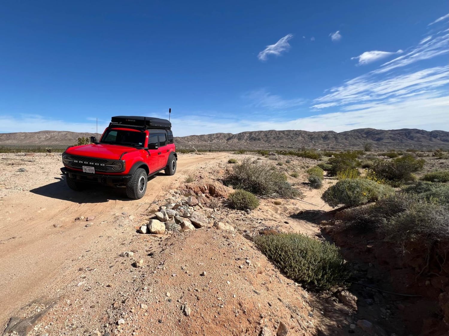
Trail Overview
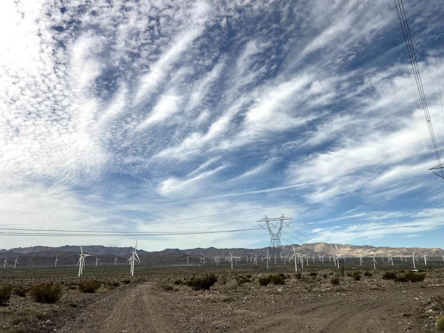
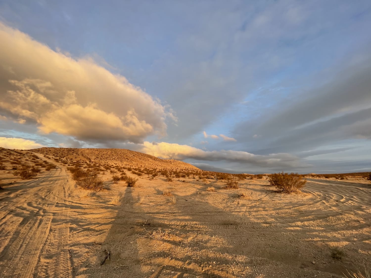
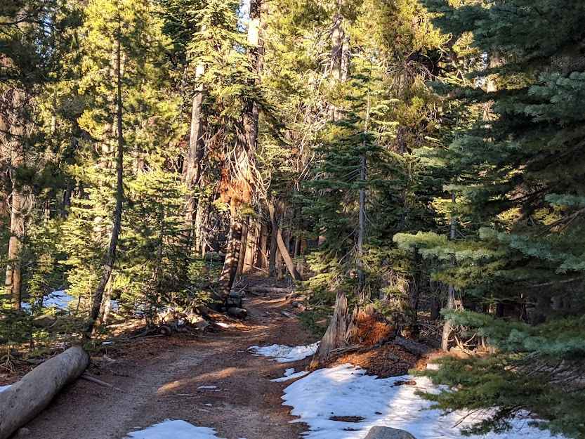
This trail is all about fast running through desert washes. The western endpoint has easy road access and the eastern endpoint plugs into the extensive trail system north of Ocotillo. The washes are smooth and have great 360-degree visibility with nothing around. Be forewarned, however, that the trails change with the weather, and there is a detour from the published trail due to construction about halfway through--the road goes straight into a berm and turns hard south (if headed west). There are many vehicle tracks in the wash, and it's often difficult to discern which is the established trail. Having said that, it's a blast to run, with long straightaways and zero traffic.
Photos of Trans-Ocotillo Connector
Difficulty
Nearly the entire trail is embedded in sandy washes. 4WD is not necessary but will aid with control at higher speeds.
Status Reports

Popular Trails

Bedrock Mountain Loop
Deer Valley - Part 2
The onX Offroad Difference
onX Offroad combines trail photos, descriptions, difficulty ratings, width restrictions, seasonality, and more in a user-friendly interface. Available on all devices, with offline access and full compatibility with CarPlay and Android Auto. Discover what you’re missing today!