Willow Creek Road to Pigeon Springs
Total Miles
12.9
Technical Rating
Best Time
Spring, Summer, Fall
Trail Type
Full-Width Road
Accessible By
Trail Overview
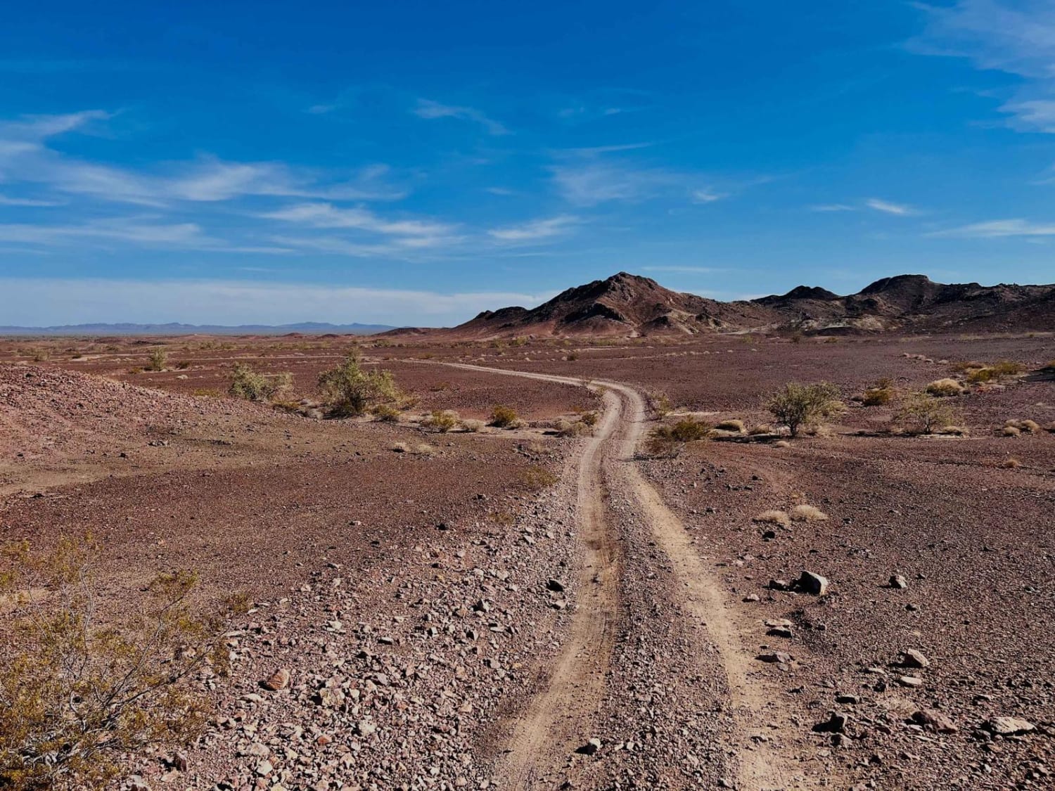
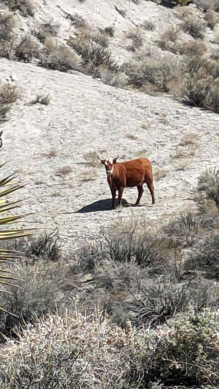
Sometimes you go exploring and find things you do not expect. This may be an adventure of that sort for you. Getting to this trail, you'll travel a nice and easy graded trail through the high desert. You'll reach an unassuming side trail that quickly starts to change. Huge and beautiful rock formations surround the trail in all directions. The various rock formations are made of different rocks of all colors. The road is a graded dirt/sand/gravel mixture winding through the Sylvania Mountains. This 12-mile trail starts in California and switches into Nevada. The trail slowly climbs from 4,616 feet to 7,143 feet, then down again to 6,373 feet in Pigeon Springs. Before you get to the state line, the flora treats you to some massive Joshua trees and you may see a stray cow. In spring, there may be some snow on the trail. The trail is nicely graded on the California side, but changes as you get into Nevada. As you get near the apex of the trail, the flora changes to pinon trees. The trail narrows. There are various rutted areas and a few snow patches to cross.
Photos of Willow Creek Road to Pigeon Springs
Difficulty
The California side is nicely graded, but as you rise in elevation and enter the Nevada side, the trail narrows. Note: Early or late season conditions can change. There are some areas of rutting, water, and snow runoff erosion. There may be a few areas to cross over snow. The last few miles are bumpy and uneven.
Status Reports
Popular Trails

Otay Mountain Truck Trail (Lower Trail)

Wiley Well District Geode Beds

Silver Canyon Road

Tanglefoot Canyon
The onX Offroad Difference
onX Offroad combines trail photos, descriptions, difficulty ratings, width restrictions, seasonality, and more in a user-friendly interface. Available on all devices, with offline access and full compatibility with CarPlay and Android Auto. Discover what you’re missing today!


