Arrastra Gulch to Little Giant Basin
Total Miles
4.2
Technical Rating
Best Time
Spring, Summer
Trail Type
Full-Width Road
Accessible By
Trail Overview
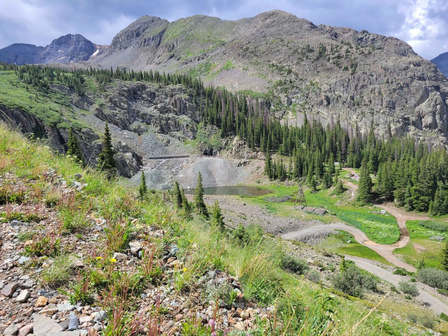
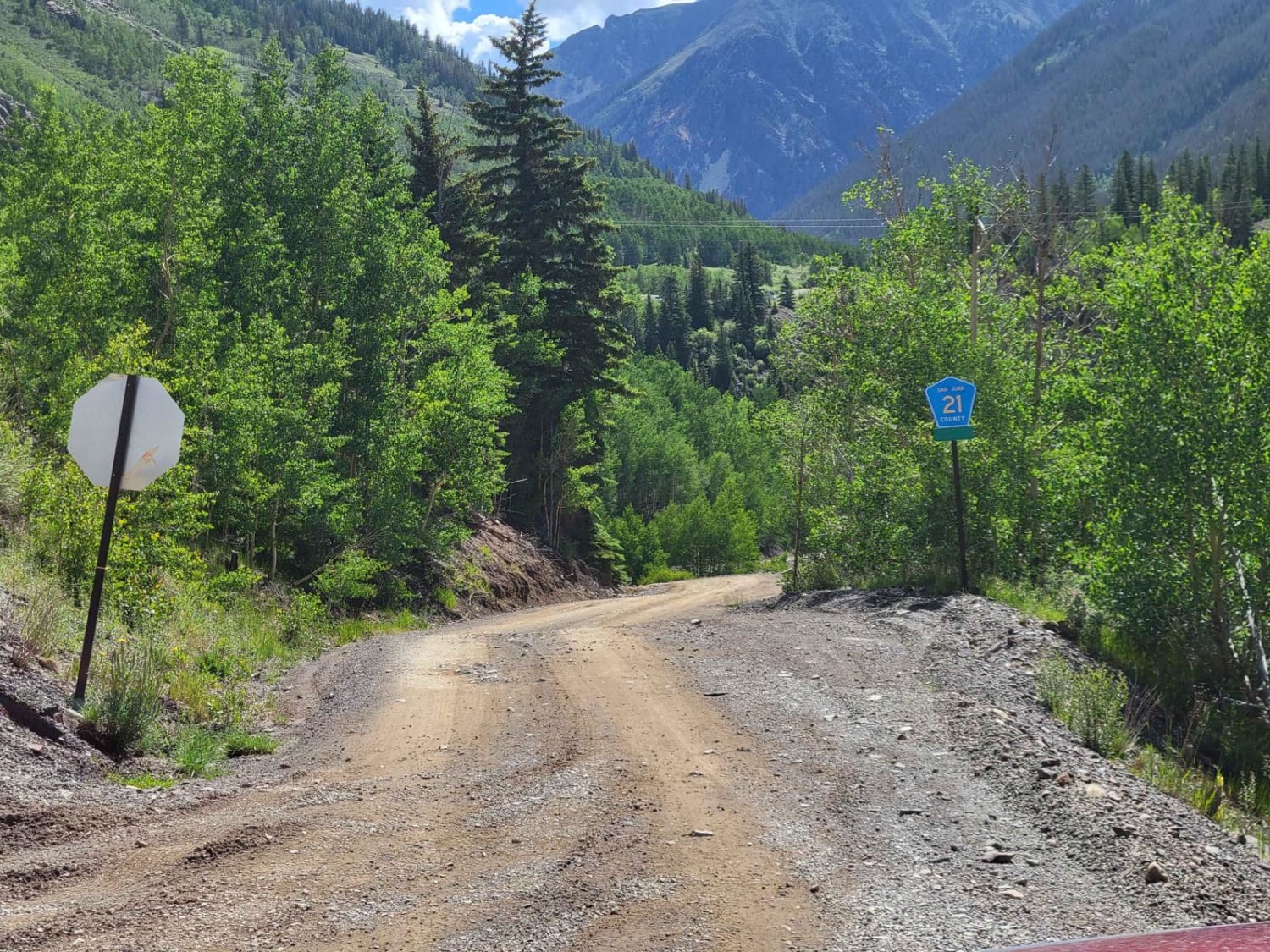
Just beyond the outskirts of Silverton, this road climbs up through a bunch of old mine sites to a mountain lake. Compared to the scenery of the Million Dollar Highway, this little nook is rougher, with more rocks and mountains than highland pastures. The old mining structures are impressive, with large metal towers rather than the typical decaying wooden houses.This road is easily doable in anything with 4x4. The low range might help with a couple of obstacles but probably isn't critical. There are some short sections of Shelf Road, where passing is not possible. Pay attention to oncoming traffic in these spots.The BLM map for the area shows the trail going beyond the lake at the end. It goes a short distance and then has a turnaround spot. The trail up to the top of the pass over the Little Giant Basin is primarily used by runners/bikers and is very steep.
Photos of Arrastra Gulch to Little Giant Basin
Difficulty
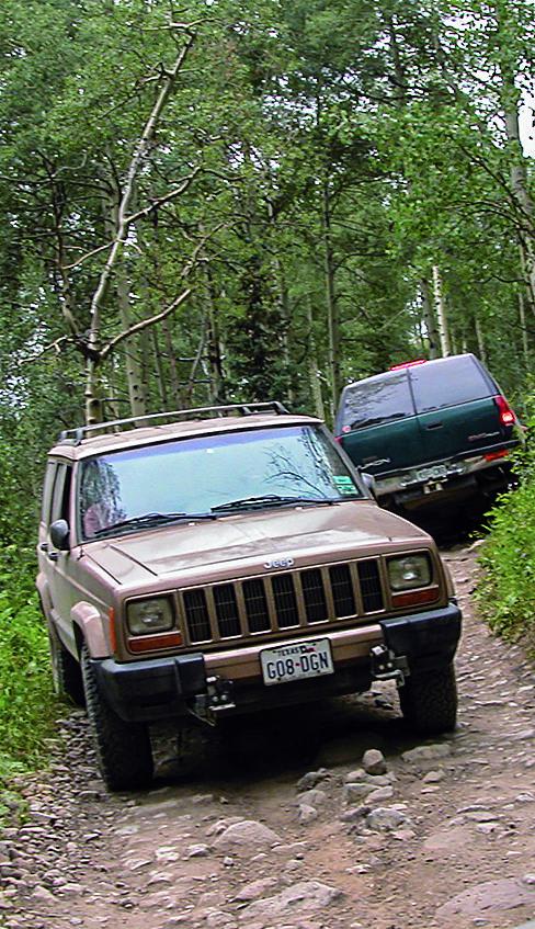
There are a couple of spots where there is a rock or two you have to go up and over. Something with AWD might have issues here depending on how the transfercase is configuring. Anything with 4x4 should be just fine. None of the rocky spots are near a cliff, so consequence is low once you are past the tight spots.
Popular Trails
CR 44 Echo Basin Loop
Lead King Basin
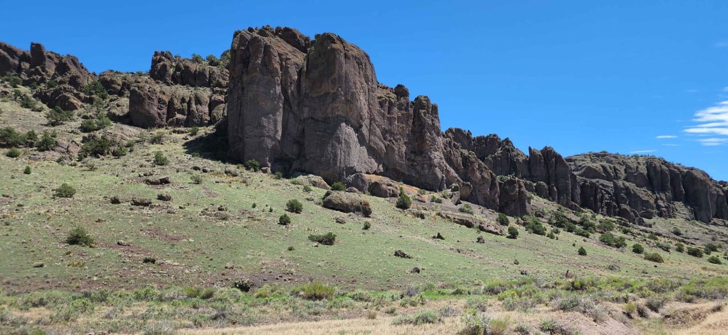
Barrel Springs
The onX Offroad Difference
onX Offroad combines trail photos, descriptions, difficulty ratings, width restrictions, seasonality, and more in a user-friendly interface. Available on all devices, with offline access and full compatibility with CarPlay and Android Auto. Discover what you’re missing today!
