Badger Creek

Badger Creek

Badger Creek
Badger Creek

Distance

24.6 mi

Technical Rating

3 Easy

Best Time

Summer, Fall

Trail Type

Full-Width Road

Accessible By

Trail Overview

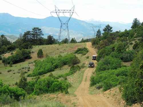
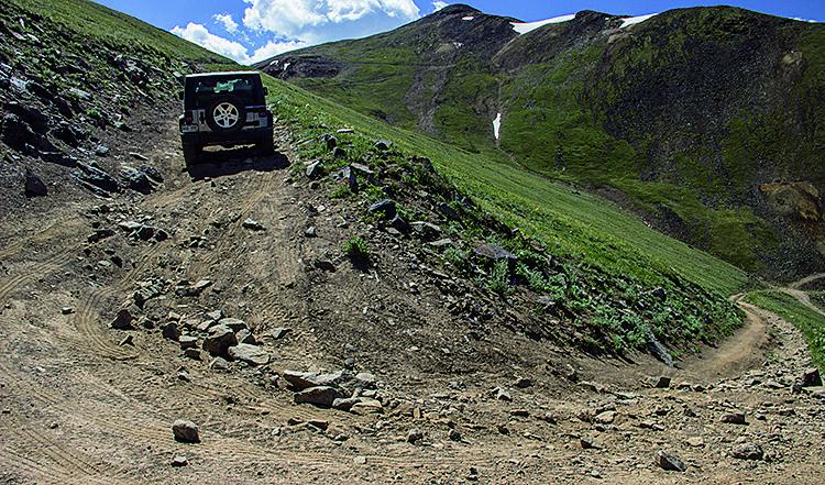
An easy and fairly scenic Jeep trail.Badger Creek has nothing above timberline, but is a nice drive along Sand Gulch, with lots of open views along the north segment that follows the powerline. You cross under powerlines many times as the trail roughly follows them. There are a few rocks embedded in the trail in places, but nothing is large.Not a "Jeeping" trail, but an enjoyable drive as long as you know what to expect.We like to run this in conjunction with Hayden Pass

Weather

Status Reports

Jeremy Portillo
Sep 06, 2024
2012 Toyota Tundra
Open
Normal
Dusty
Rough/Deteriorated
Trail was great! Definitely more difficult than a 3, but still very manageable. Lots of fun with lots of different terrain. Rocks, dry river bed, mountain dirt road, loose rock, short water crossing. Be careful coming down from the sand gulch direction around the mountain past the power lines, all loose rock and steep descents. Very tight trail at times! Tundra got some nice pinstripes from it✊🏽 if you can, at the end of the trail before following it all the way back to the highway to the Wellsville area, turn left and try to follow the Arkansas River, you get some really fun tight terrain there and awesome river views. Great trail! I’ll take the GX next time… 🤣
Josh Clark
Jul 03, 2024
4x4
Open
This was our second trail we did on our trip to Colorado. We took it as we had done one other 3 level, Phantom Canyon, and that was an easy dirt road with a few very small ledges. Mini vans and cars were on the trail. Badger Creek however, was far more challenging and difficult than Phantom Canyon. Lots of wash outs, dried up river and creek beds full of huge rocks and such. My stock 23 Taco made it with no issues, but the reason for this report is due to this trail being FAR more challenging than the other level 3 we did, plus no where near as many vehicles could do it. Unfortunately I was focused on driving and wife on navigating, so no pics. Sorry. FWIW, there is a point when you are on a BLM route on this trail and have the optin of climbing a steep rocky grade or a dirt trail. We thought the hill was our path, so I climbed it. Scary in my new truck, and when we got to the top, realized the dirt path was the easy way up. HAHAHA! I was proud we took the hard way and made it. LFG!!!!!!!!!
John Gibson
Apr 17, 2024
2021 Jeep Gladiator
Open
Normal
This was a nice drive with some beautiful views of the area. Seems to be mainly an access route to some of the large power line towers running through. There was typical loose rock and narrow hillside trail. A cut through is there at Sand Gulch rd(blm#), it is more rutted but a lot less rocky. That does cut through private property so stay the trail. Seems the owners have placed a lot of signs to let you know. A few good places to camp dispersed. We encountered some locals doing target practice, friendly and safe. This is easily passable by most vehicles and is a stretch to label this 3, but figured error on the side of caution.

Go Farther

Try onX Offroad Elite for free for a week — no strings attached. Get access to thousands of off-road dirt trails and snowmobile trails across the nation. View your favorite zones in 3D. Send trails to friends. Start planning the trip of a lifetime now.