Devil Mountain-Fr Rd 626
Total Miles
11.4
Technical Rating
Best Time
Spring, Summer, Fall
Trail Type
Full-Width Road
Accessible By
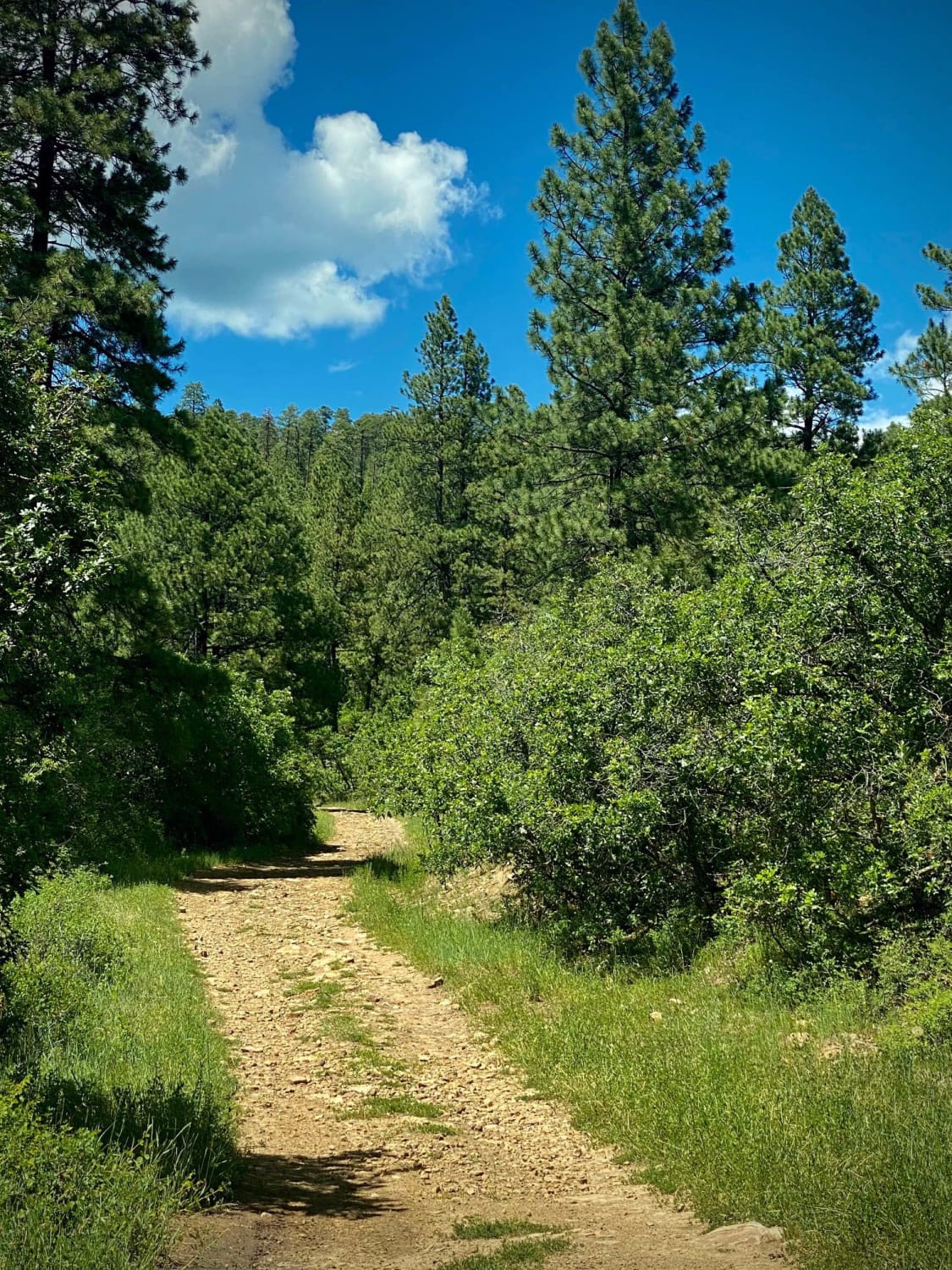
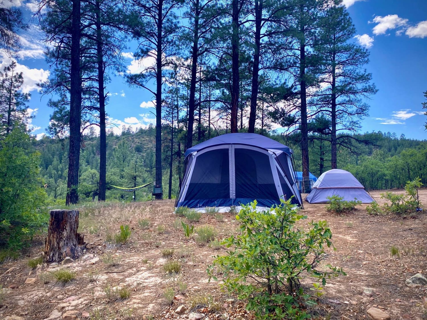
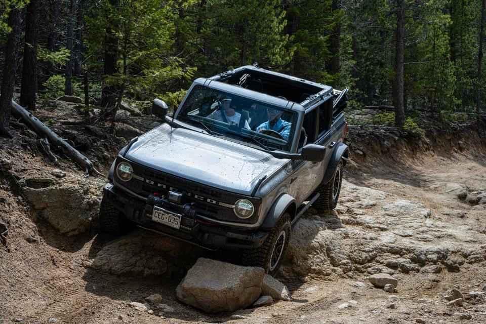
Trail Overview
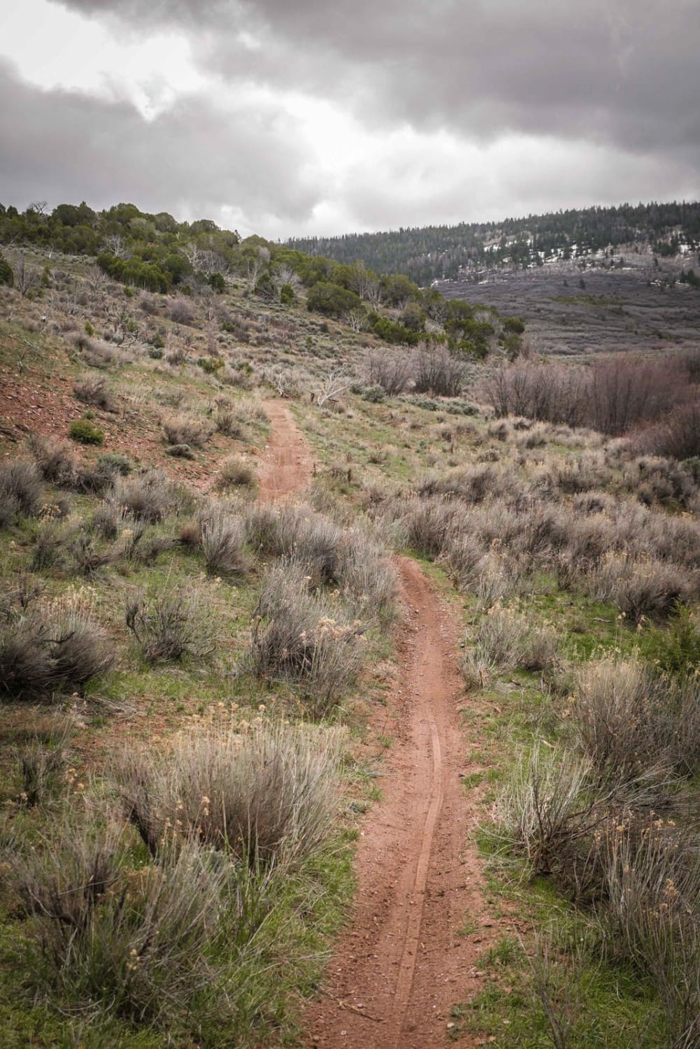
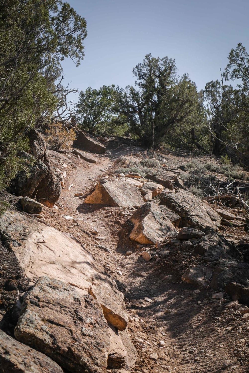
Camping, Jeeping and Hunting on Devil Mountain-Fr Rd 626 There is some space when you first turn onto the trail from Hwy 160 to air up or down. After that area the Devil Mountain trail is pretty much uphill. The road is rocky so high clearance 4x4 vehicles are recommended as some of the climbs are steep and some areas have loose rocks. During the spring and early summer, the road can be slick like many of the trails due to snowmelt. All along the way up the trail there are several disturbed primitive campsites, several with cross bars lashed in place for game. At the end of the trail is the Mesa Spring Hunters Camp. All along the way you will pass intersections with the Mule Mountain ATV trails. These trails will connect and lead to Elk Creek and Horse Creek ATV trails.
Photos of Devil Mountain-Fr Rd 626
Difficulty
The trail has some steep climbs and some loos rocks in areas. Most of of not all the trail, 2WD is all you need.
Status Reports
Devil Mountain-Fr Rd 626 can be accessed by the following ride types:
- High-Clearance 4x4
- SUV
- SxS (60")
- ATV (50")
- Dirt Bike
Devil Mountain-Fr Rd 626 Map
Popular Trails
Bunce School Road
The onX Offroad Difference
onX Offroad combines trail photos, descriptions, difficulty ratings, width restrictions, seasonality, and more in a user-friendly interface. Available on all devices, with offline access and full compatibility with CarPlay and Android Auto. Discover what you’re missing today!