Dolly Varden Road (Windy Ridge)
Total Miles
7.9
Technical Rating
Best Time
Summer
Trail Type
Full-Width Road
Accessible By
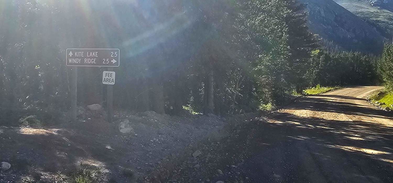
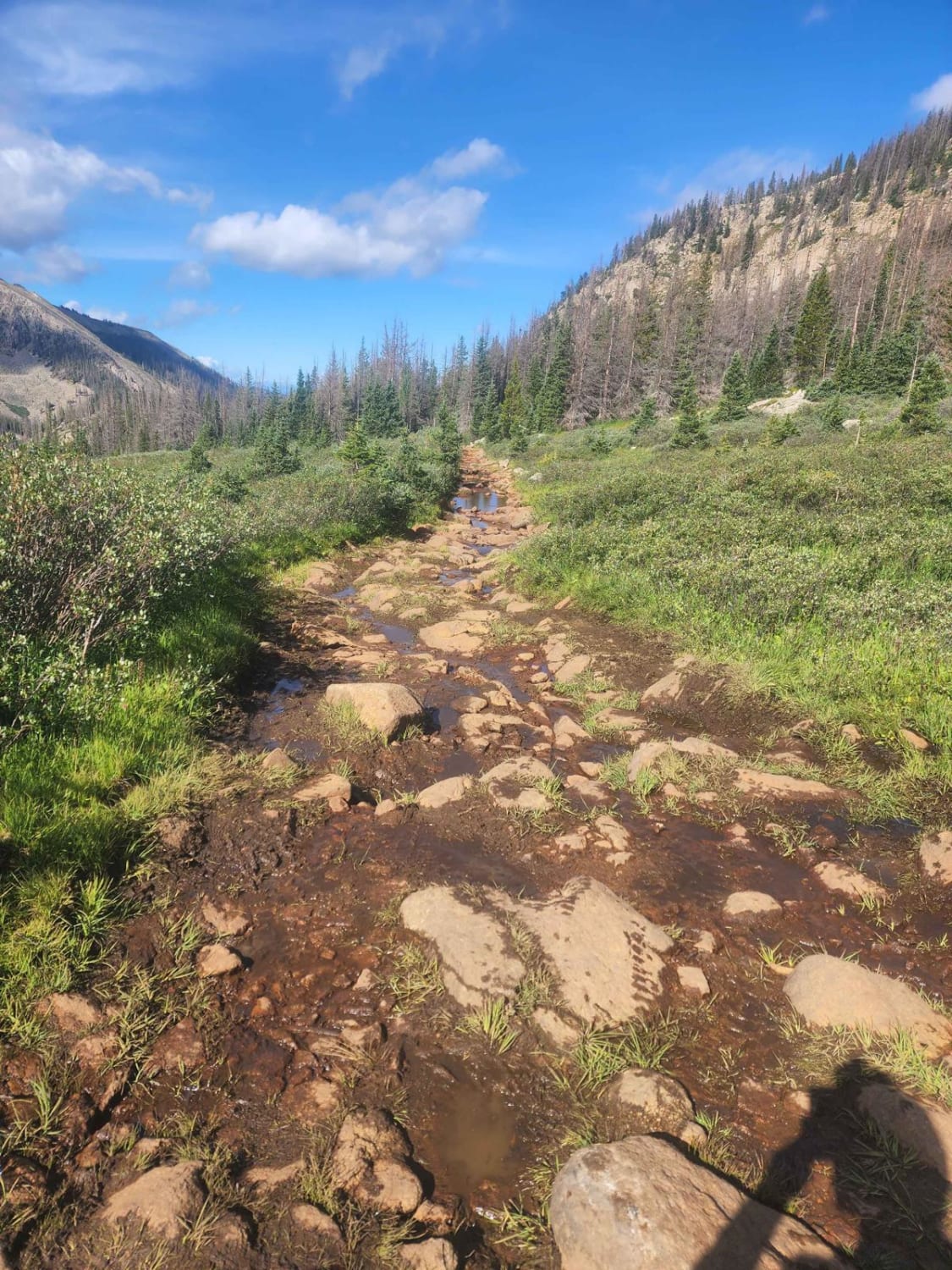
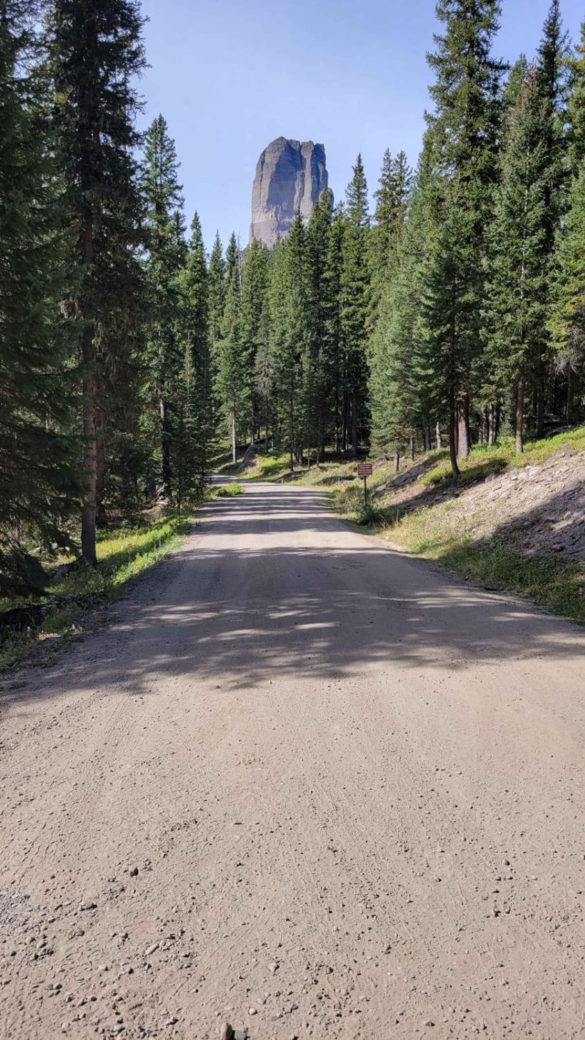
Trail Overview
Officially this is Dolly Varden Road or FS 783, however, the signage will say Windy Ridge, which it is more commonly known as. At tree line, you will encounter the Windy Ridge Bristlecone Pine Scenic Area, one of only a handful of old bristlecone pine forests in Colorado. If you proceed further, a network of roads ensues, many of which are private or closed, with one exception to access the summit of Mount Bross making this the second-highest unpaved road in Colorado. While there are many routes, this is the only one in which you will not encounter marked closures, end up in dead ends, or find yourself in extremely dangerous situations. Along the way, you will pass numerous mine sites, as well as more mines above the tree line. Many of these mine sites are private property, some marked, some not.
Photos of Dolly Varden Road (Windy Ridge)

Difficulty
This road is very easy up until the Windy Ridge parking area. After that, it becomes more narrow with steep loose rock climbs, narrow shelf roads, and narrow washouts. While not technical in nature, it requires careful attention and following the route.
Status Reports
Dolly Varden Road (Windy Ridge) can be accessed by the following ride types:
- High-Clearance 4x4
- SUV
Dolly Varden Road (Windy Ridge) Map
Popular Trails

East Branch Road

Historic Waldorf Wagon Road
Williams Pass Trail
West Fork Cimarron Road
The onX Offroad Difference
onX Offroad combines trail photos, descriptions, difficulty ratings, width restrictions, seasonality, and more in a user-friendly interface. Available on all devices, with offline access and full compatibility with CarPlay and Android Auto. Discover what you’re missing today!