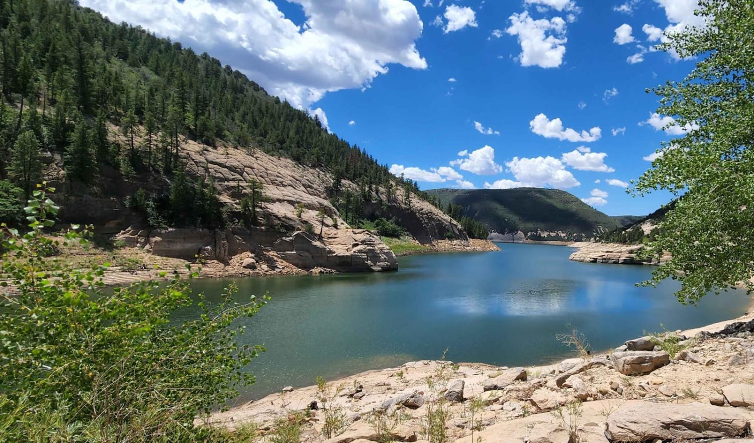
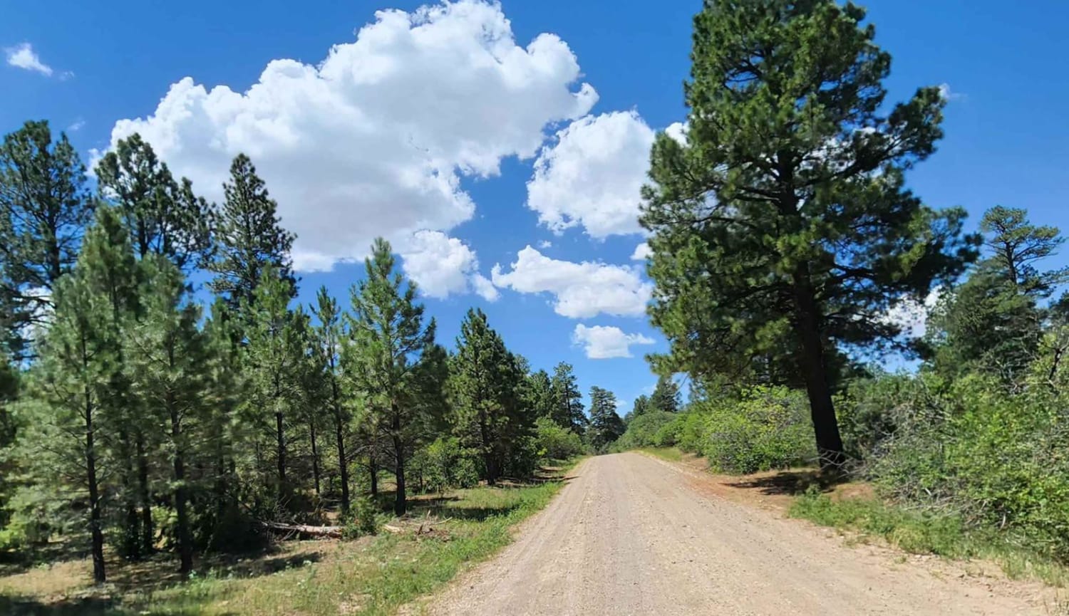
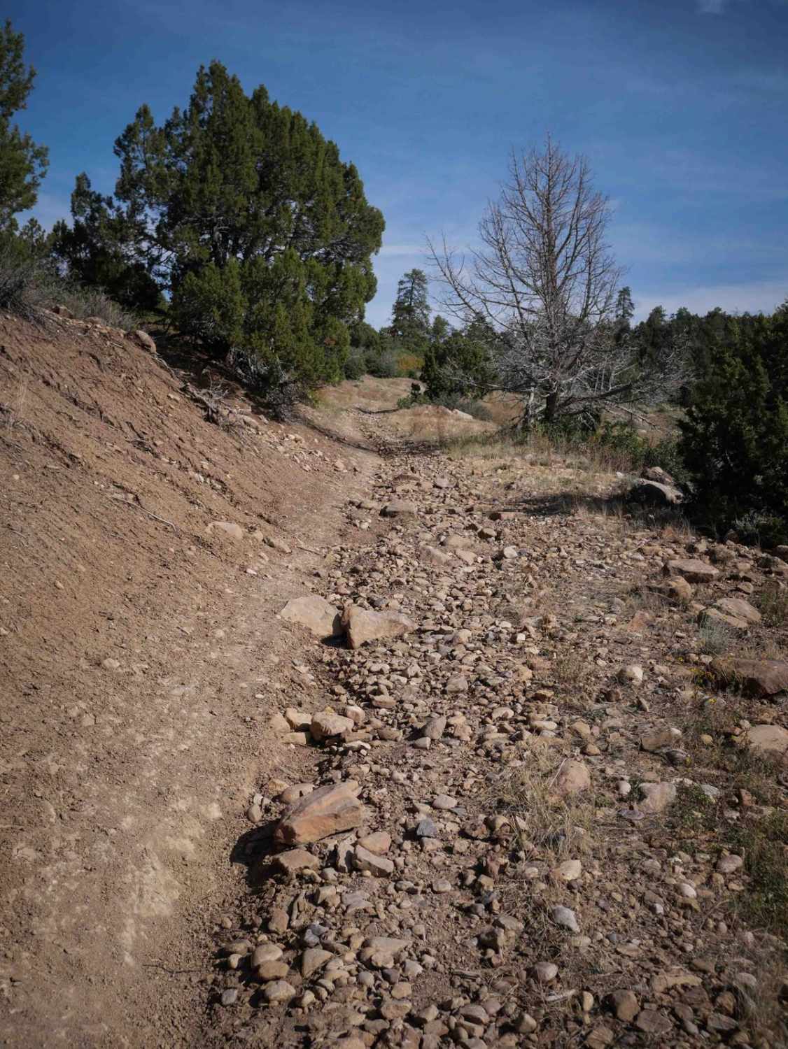
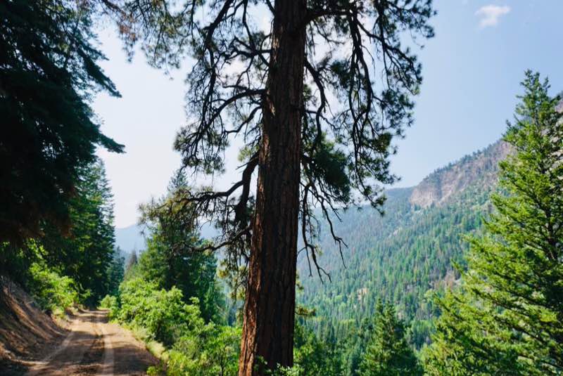
Dry Canyon
Total Miles
8.3
Technical Rating
Best Time
Spring, Summer, Fall
Trail Type
Full-Width Road
Accessible By
Trail Overview
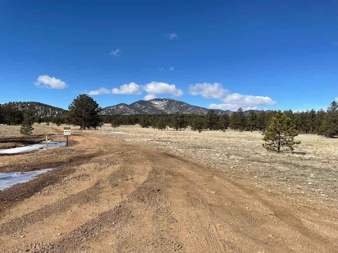
This road has switchbacks at the end that is not accessible for trailers. There are compositing bathrooms and a beautiful view at the end. Access to water from a hiking trail, huge rocks around. Dirt or rocky road with gentle grades. Safe for most 4WD and high-clearance 2WD vehicles. Roads are typically two vehicles wide.
Photos of Dry Canyon
Difficulty
Can be muddy when wet

Popular Trails

Round Mountain Road Forest Road 225
The onX Offroad Difference
onX Offroad combines trail photos, descriptions, difficulty ratings, width restrictions, seasonality, and more in a user-friendly interface. Available on all devices, with offline access and full compatibility with CarPlay and Android Auto. Discover what you’re missing today!