Graceland
Total Miles
2.9
Technical Rating
Best Time
Spring, Summer, Fall
Trail Type
Single Track
Accessible By
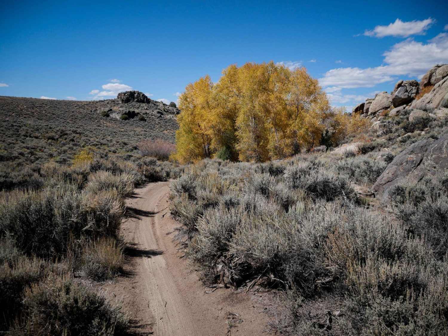
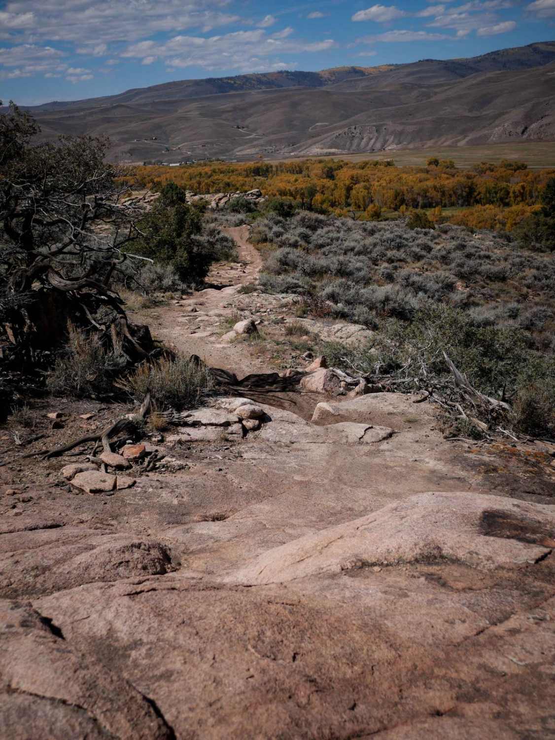
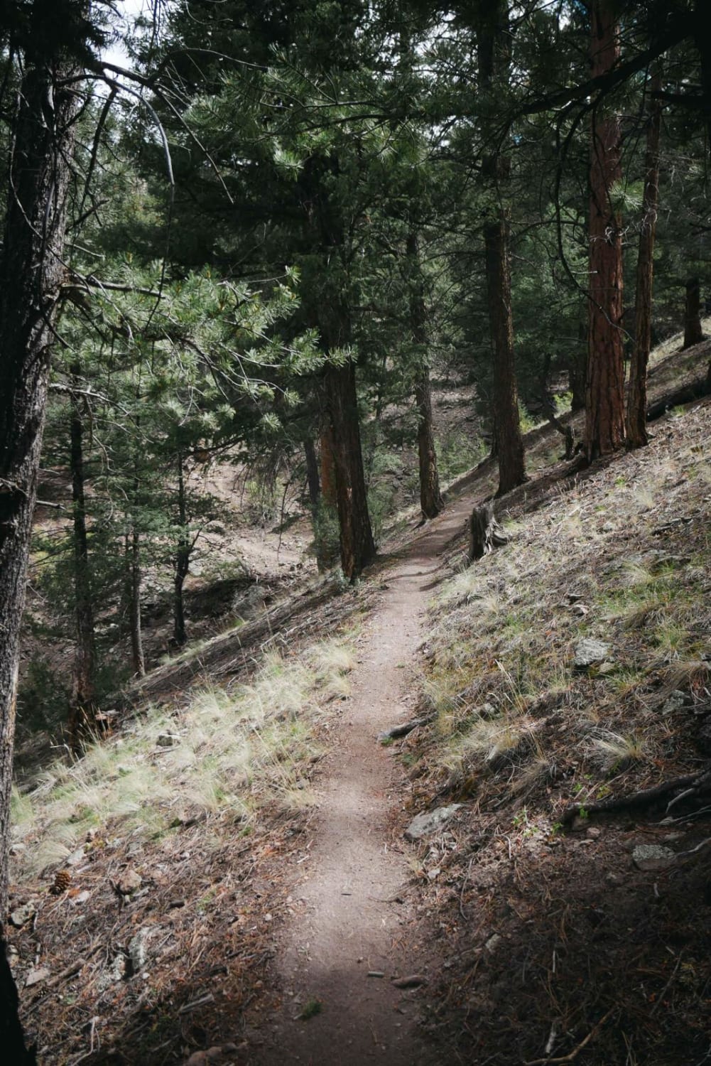
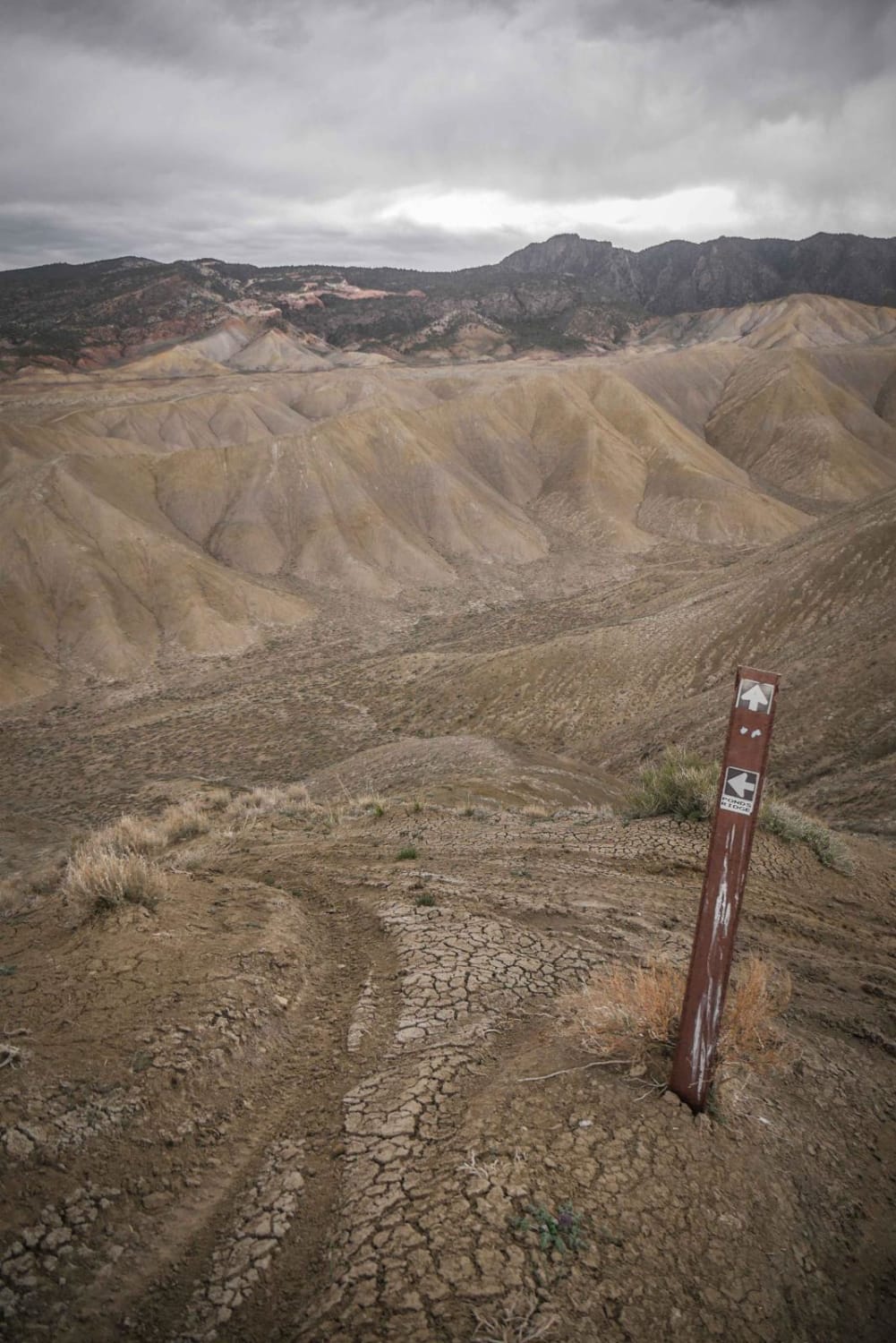
Trail Overview
Graceland starts out on the east side as fast and flowy through a valley of sage brush, below a hillside covered in rock boulders and rock walls. It goes through a scenic section of birch trees and is a bit shelfy above a ravine. Watch out for whoops and dips when you're going fast through the first couple of miles. It's pretty flat, with very gradual curves and climbs, curving around the small hills. The second half gets a bit harder, with some rockier sections. One section has bigger rocks on a hill climb, and one is a larger rock slab ramp with ledges up to a foot tall. It gets curvier as you go west as well. It passes a couple of intersections that you can take to loop back to the beginning of Graceland, or you can take it down to connect to Gateway, which is similar difficulty.
Photos of Graceland
Difficulty
The majority of the trail is a 3 difficulty, but there is one larger rock slab feature that makes it more of a 4, as it has some moderate-sized ledges up to a foot tall. Overall the trail would probably still be easy enough for a beginner even if this one spot would be a bit more challenging.
Status Reports
Popular Trails

The onX Offroad Difference
onX Offroad combines trail photos, descriptions, difficulty ratings, width restrictions, seasonality, and more in a user-friendly interface. Available on all devices, with offline access and full compatibility with CarPlay and Android Auto. Discover what you’re missing today!