Grizzly Jeep Trail
Total Miles
5.7
Technical Rating
Best Time
Summer, Fall
Trail Type
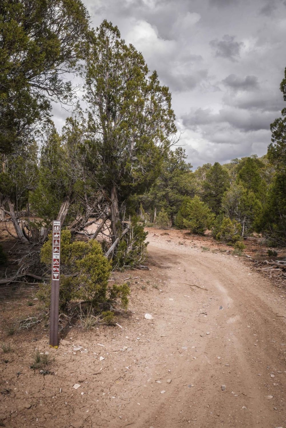
Full-Width Road
Accessible By
Trail Overview
Convenient, but very challenging, connector road between Coffee Pot Road and Transfer Trail. You will drop down from a high ridge and ride through old Grizzly Cow Camp. This is a fun ride for unlicensed vehicles with a few options for dispersed camping, which are used by hunters in the fall. Open mid-June to mid-November, depending on snow.
Photos of Grizzly Jeep Trail
Difficulty
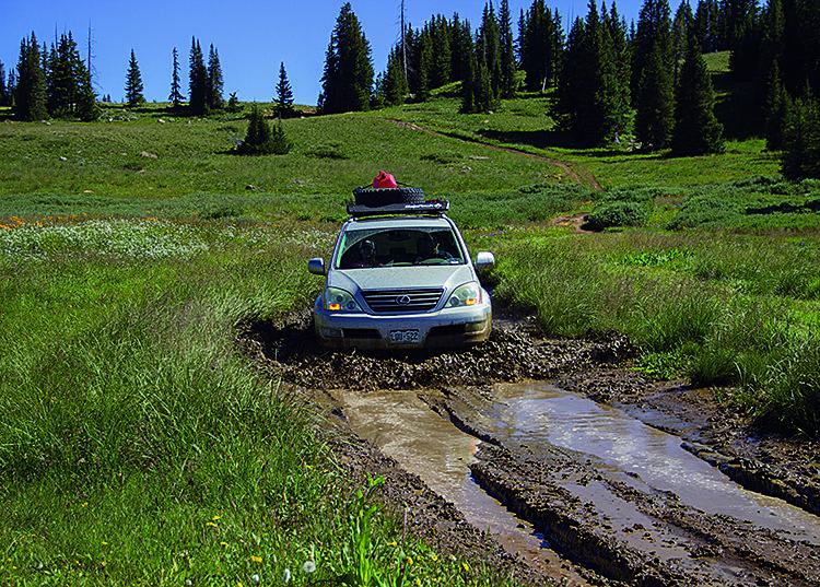
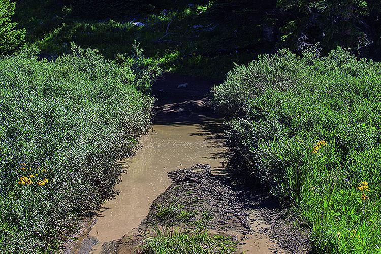
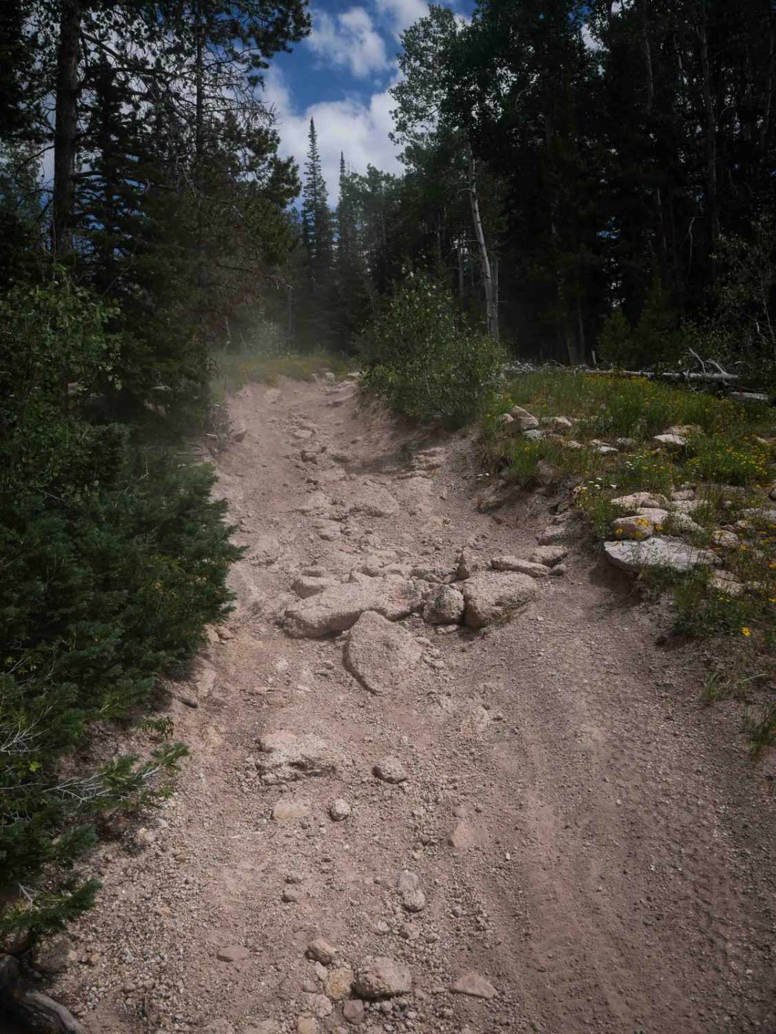
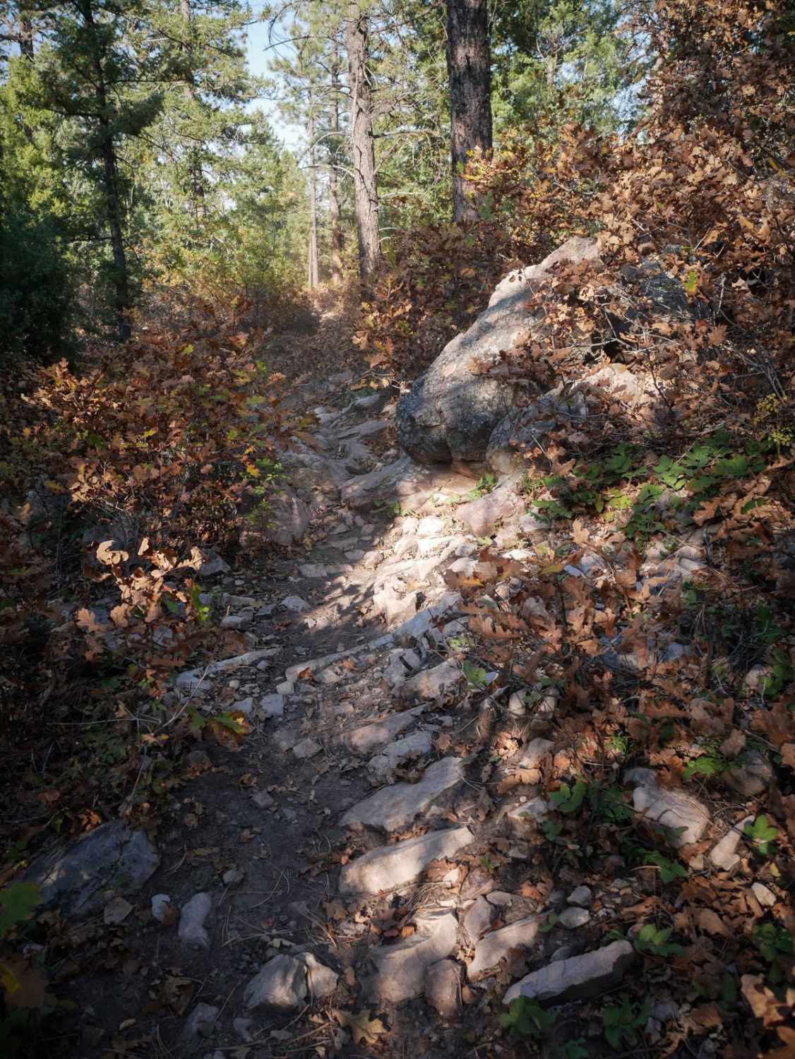
Difficult. Narrow in spots with deep ruts and muddy patches. A difficult stretch starts at Waypoint 03 with a steep descent down a rocky ledge, then continues through an overgrown area with deep, twisting ruts. Most stock, high-clearance 4x4 SUVs can get through, but be careful when muddy.
Status Reports
Grizzly Jeep Trail can be accessed by the following ride types:
- High-Clearance 4x4
- SUV
- SxS (60")
- ATV (50")
- Dirt Bike
Grizzly Jeep Trail Map
Popular Trails
The onX Offroad Difference
onX Offroad combines trail photos, descriptions, difficulty ratings, width restrictions, seasonality, and more in a user-friendly interface. Available on all devices, with offline access and full compatibility with CarPlay and Android Auto. Discover what you’re missing today!