Hockett Gulch
Total Miles
1.5
Technical Rating
Best Time
Fall, Summer, Spring
Trail Type
50" Trail
Accessible By
Trail Overview
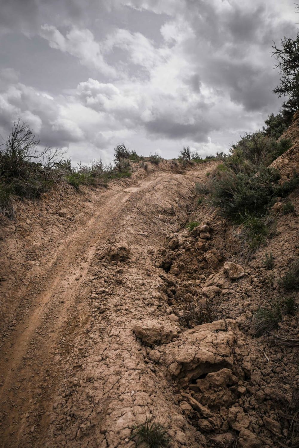
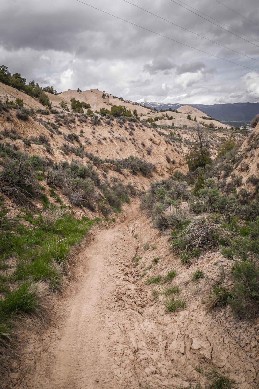
Hockett Gulch is a short trail in the Hardscrabble trail system that mostly goes through a sagebrush desert landscape. From south to north, it steadily drops 400 feet over 1.6 miles, so it is mostly gradual with few steep sections. It is mostly a wide trail, but near the south end of the trail, there are lots of ravines and rain ruts, making half of the trail rutted out. You have to stick to the good half of the trail by staying high above the ruts. The trail intersects with Tick Alley and keeps heading towards the view of town under the power lines on a wide, whooped-out trail. Near the end, it drops down into a fun wash with tight curves, banked corners, and 15-foot-high dirt walls. It also passes intersections with the School House Rock ATV trail and the Plunge single track. You'll need to connect with one of these trails or be ready to turn around because this trail dead ends at a fenced private property. It looks like this trail will connect to town, but it doesn't. Overall it's an easy trail on smooth dirt with few loose rocks but is a key connector trail to The Plunge, which is one of the more difficult trails in the area.
Photos of Hockett Gulch
Difficulty
This is an easy trail that is mostly flat. The difficulty includes rain ruts, ravines, whoops, and tight curves in a wash.
Status Reports
Hockett Gulch can be accessed by the following ride types:
- ATV (50")
- Dirt Bike
Hockett Gulch Map
Popular Trails
Montgomery Pass
Cross Mountain
The onX Offroad Difference
onX Offroad combines trail photos, descriptions, difficulty ratings, width restrictions, seasonality, and more in a user-friendly interface. Available on all devices, with offline access and full compatibility with CarPlay and Android Auto. Discover what you’re missing today!
