Keystone Gulch Trail
Total Miles
6.5
Technical Rating
Best Time
Summer, Fall
Trail Type
Full-Width Road
Accessible By
Trail Overview
The Keystone Gulch Road follows the boundary of the Keystone Ski Area at the beginning and eventually enters the ski area in the North Peak area. The open dates for all vehicles on this trail are 6/21 through 11/22. The lower gate for this road remains closed to motorized access later on in the season, typically until July 1, to protect elk calving. The trail gradually climbs through a heavily forested area for about 5 miles. Approximately 2.8 miles from the trailhead you will come to the base area of the Ruby and Santiago Lifts. Approximately 0.7 miles from the summit you will see a trail to the right with a wooden gate that will take you to the old Erickson Mine. There is no motorized traffic on this side trail. The mine is approximately 1.0 miles from the main trail. The main trail leads to the summit of North Peak but is closed to traffic approximately 250 yards from the summit.
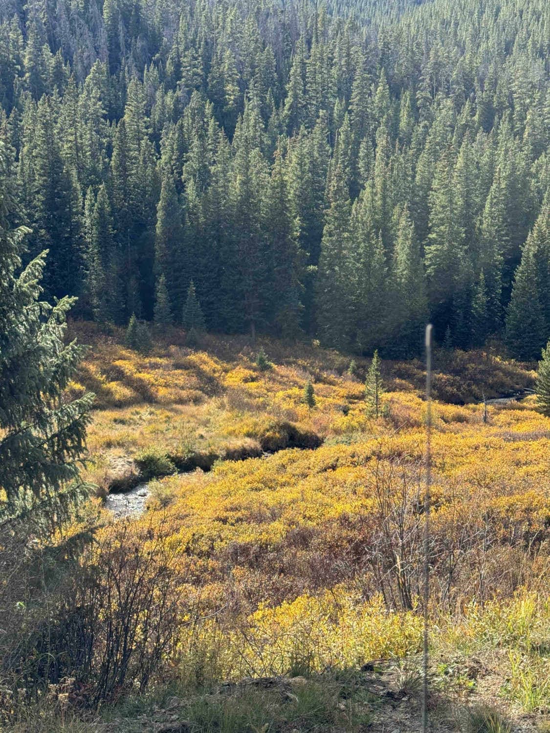
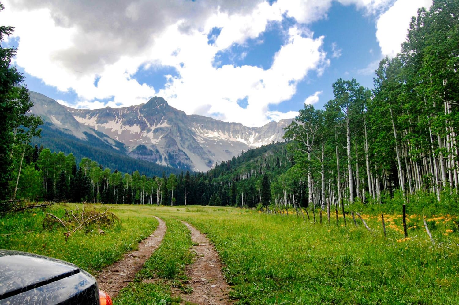
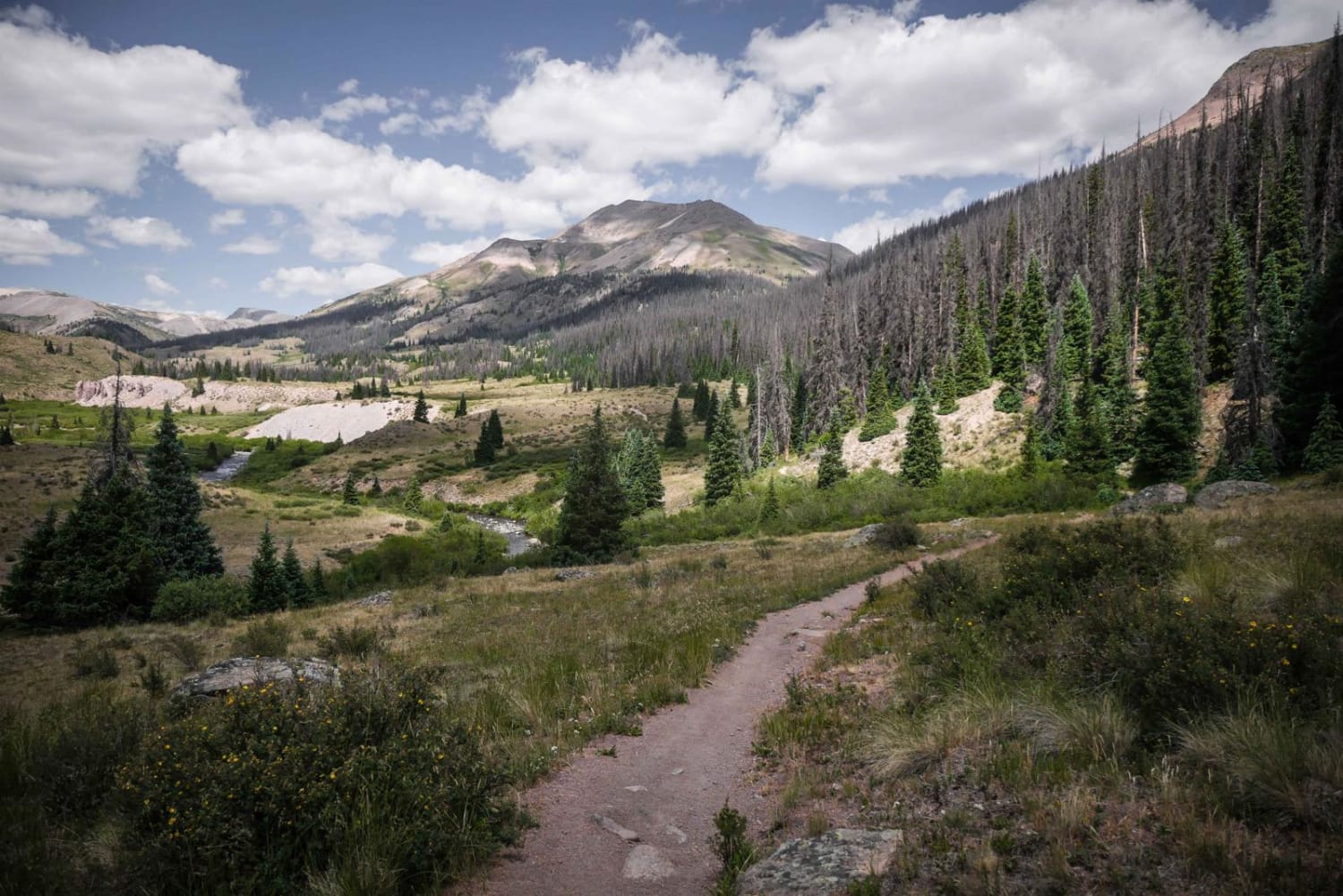
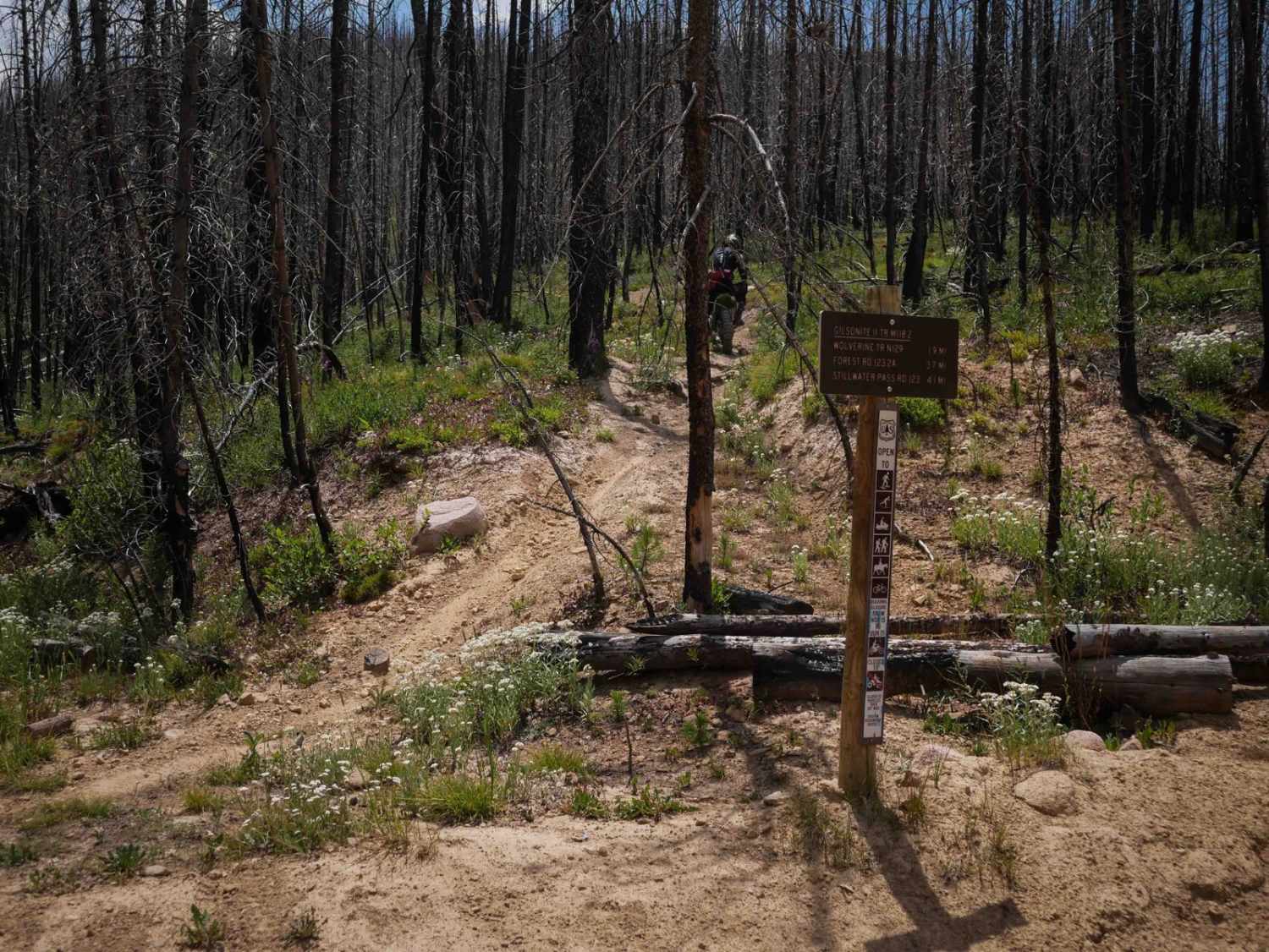
Photos of Keystone Gulch Trail

Difficulty
The trail is used to service and maintain lifts and facilities related to the Keystone Ski Resort so it is maintained and in good condition while open. Two vehicles can pass easily. The last section of the trail climbs up North Peak. This section has a number of small runoff control channels that can deliver a solid jolt if speed is not controlled.
Status Reports
Keystone Gulch Trail can be accessed by the following ride types:
- High-Clearance 4x4
- SUV
- SxS (60")
- ATV (50")
- Dirt Bike
Keystone Gulch Trail Map
Popular Trails
Box Factory Park
Gilsonite Trail

No See Um ATV Trail
The onX Offroad Difference
onX Offroad combines trail photos, descriptions, difficulty ratings, width restrictions, seasonality, and more in a user-friendly interface. Available on all devices, with offline access and full compatibility with CarPlay and Android Auto. Discover what you’re missing today!