Left Hand ATV Trail
Total Miles
3.0
Technical Rating
Best Time
Summer, Fall
Trail Type
50" Trail
Accessible By
Trail Overview
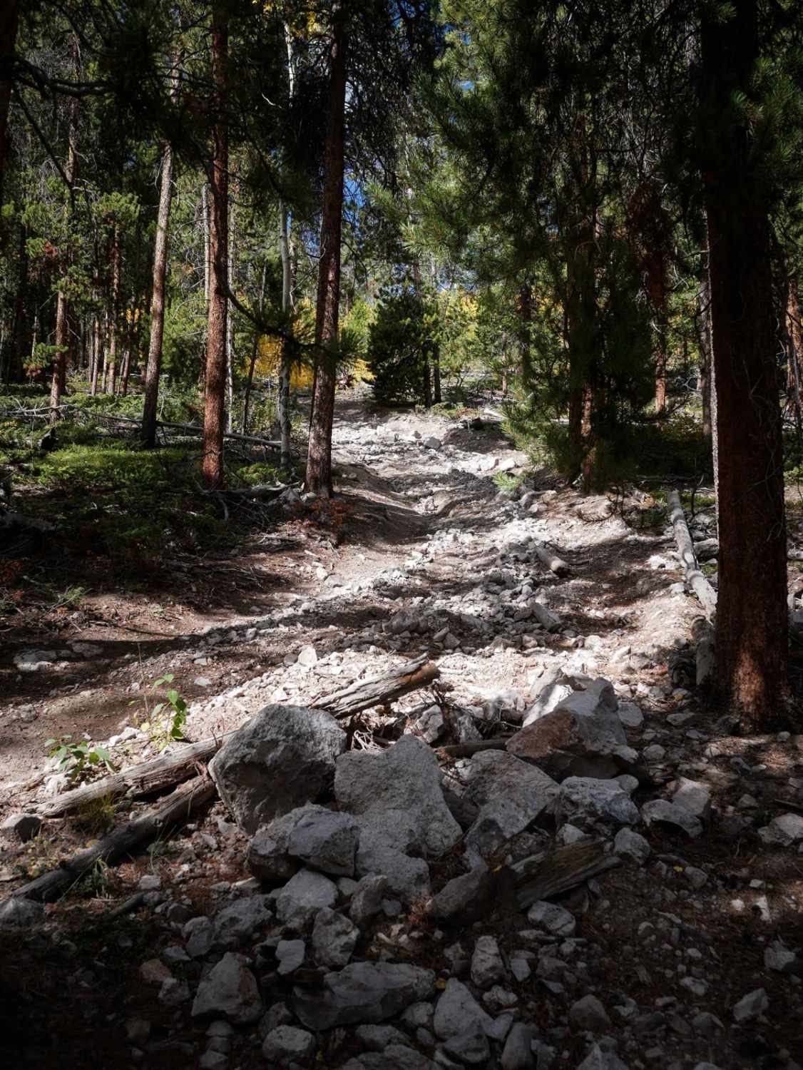
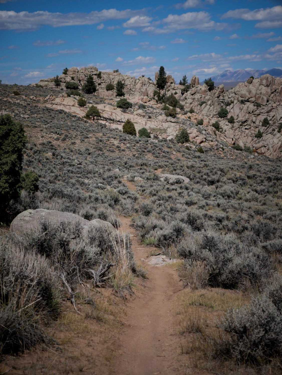
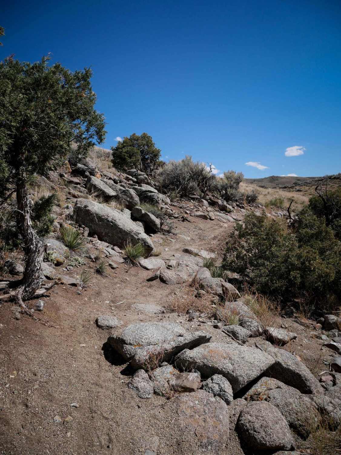
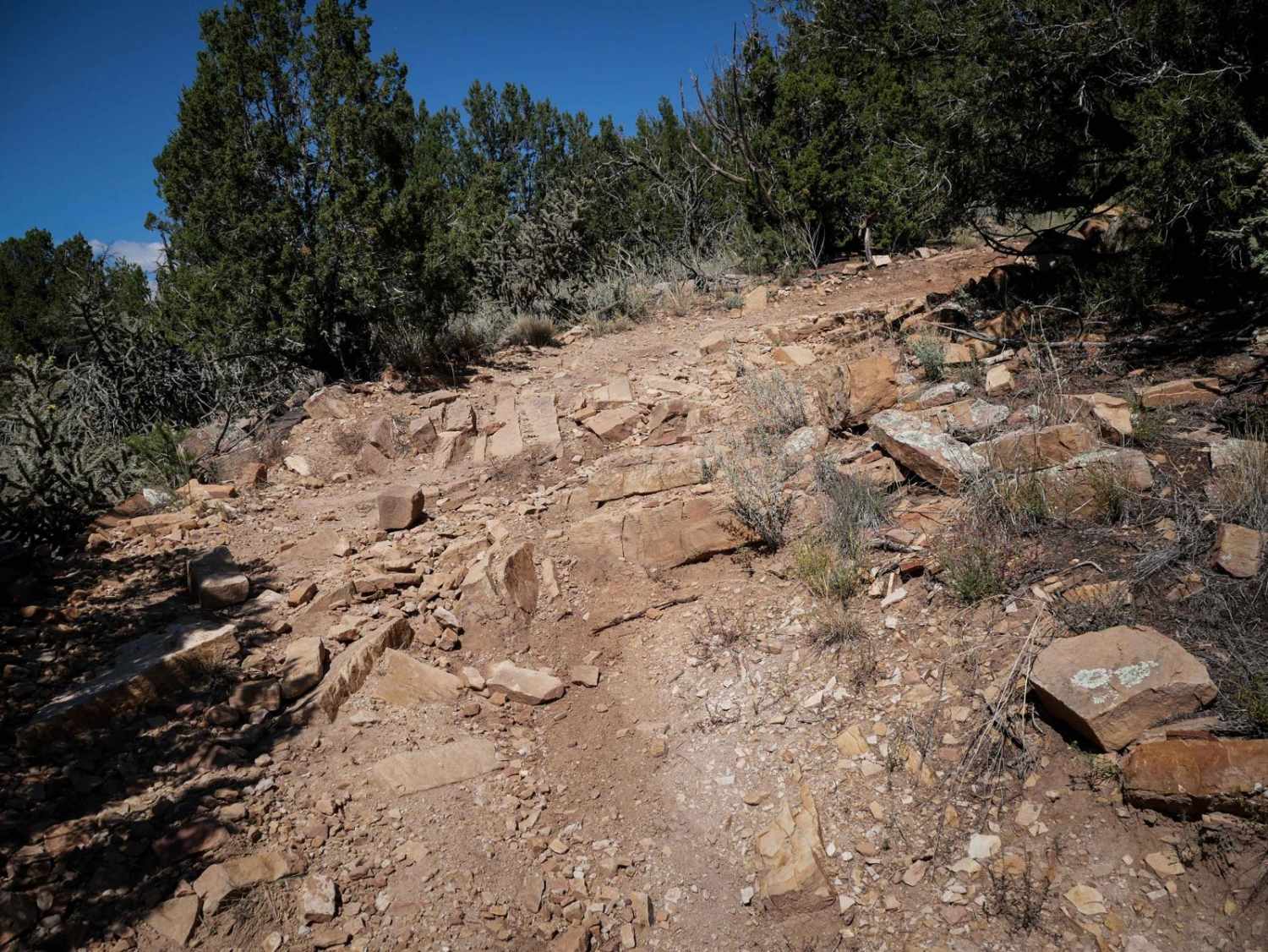
The Left Hand ATV trail goes for 3 miles through the Gunnison National Forest. Starting from the west side, it starts as a wide 50" trail through sagebrush rolling hills, and comes up to a gate, as it borders private property. It straight-lines next to a fence along the private property, really straight and fast, with a few dips to watch out for. It becomes a bit more overgrown with grass, with a bit of embedded rock here and there, but stays pretty smooth through the first half of the trail. It goes in and out of beautiful aspen groves, and there are a few sections with more bits of rock and mud puddles while in the trees. After about 2 miles it starts climbing more steeply up the mountain and through the pine forest. The trail stays really wide, but it has a bit more loose rock pieces in the trail, big rollers, and a couple of really sharp turns. There's a long steep hill climb near the end before it steeply descends back down to the east trailhead. The descent is a bit rutted with loose rocks. It ends on another ATV trail that goes north through the forest.
Photos of Left Hand ATV Trail

Difficulty
This is an intermediate trail for ATVs and dirt bikes because it has some steep rocky climbs that would be a bit of a challenge. It doesn't have any large obstacles or ledges, just the steep rocky climbs. The hill climbs and descents on the east side of the trail are the hardest part of the route.
Status Reports
Left Hand ATV Trail can be accessed by the following ride types:
- ATV (50")
- Dirt Bike
Left Hand ATV Trail Map
Popular Trails

Switchback/ Privateer Road
The onX Offroad Difference
onX Offroad combines trail photos, descriptions, difficulty ratings, width restrictions, seasonality, and more in a user-friendly interface. Available on all devices, with offline access and full compatibility with CarPlay and Android Auto. Discover what you’re missing today!