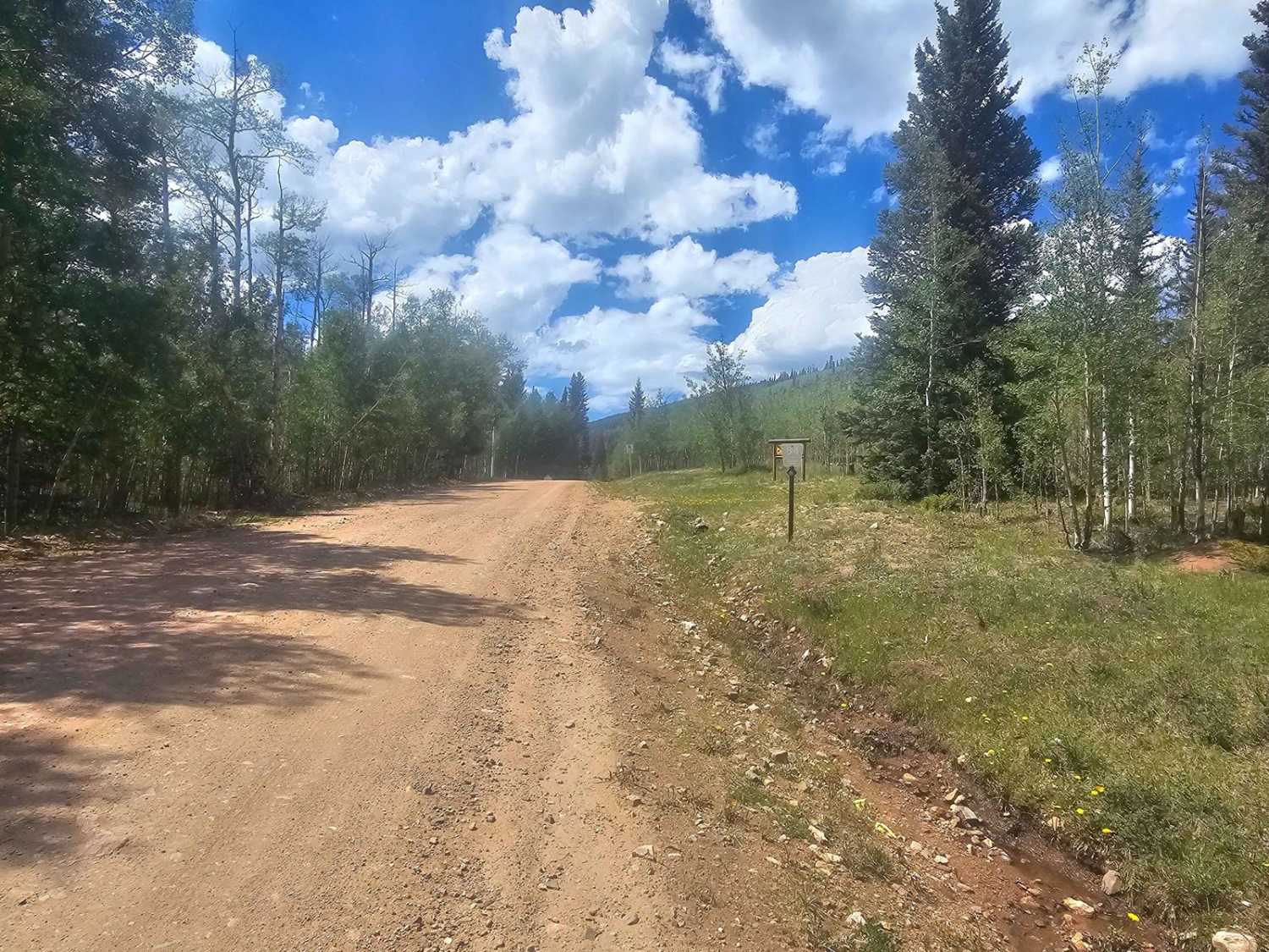
Matukat Road
Total Miles
21.5
Technical Rating
Best Time
Summer, Fall
Trail Type
Full-Width Road
Accessible By
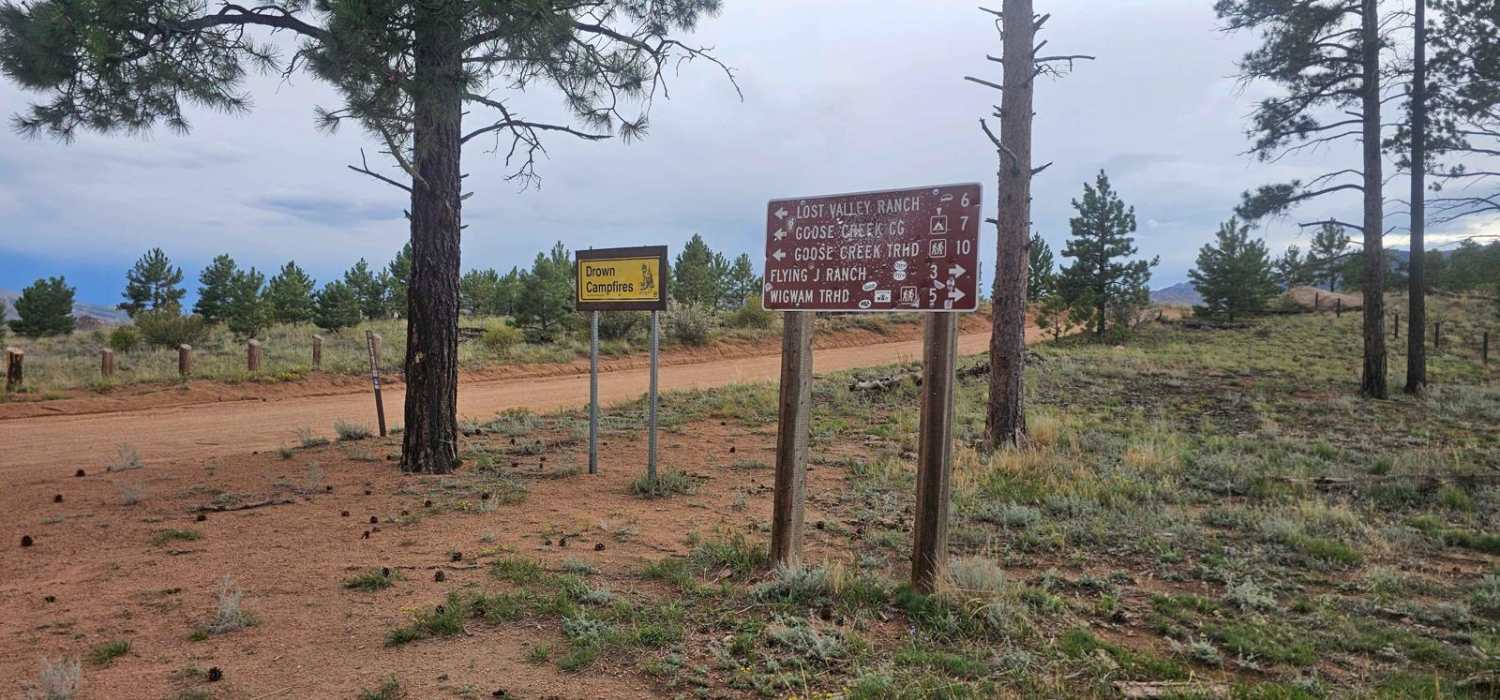
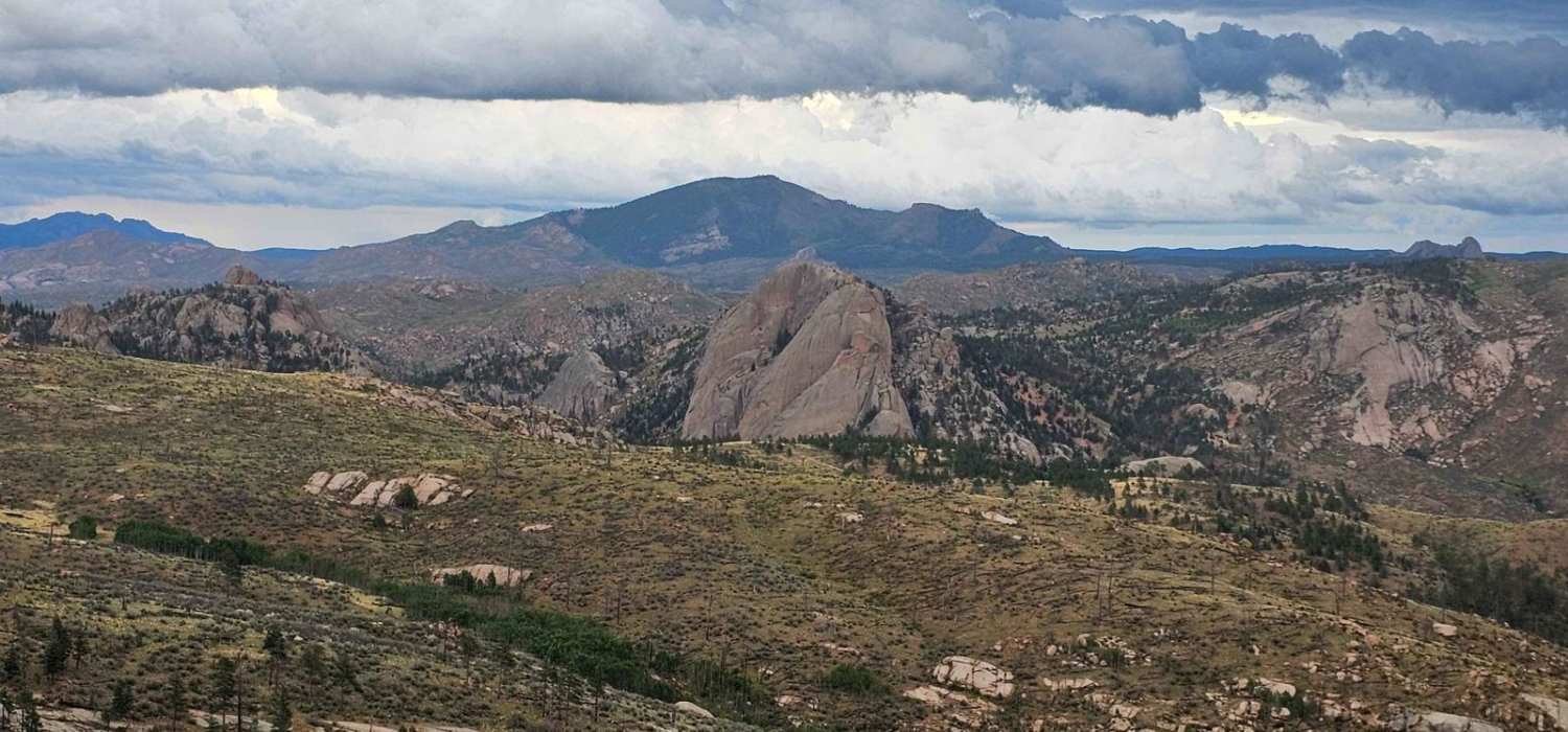
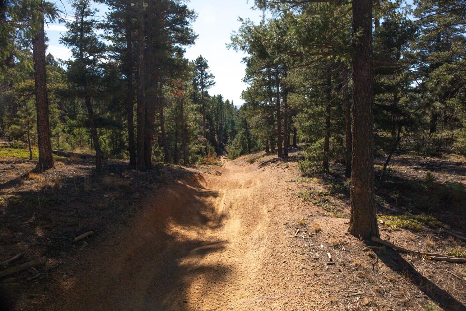
Trail Overview
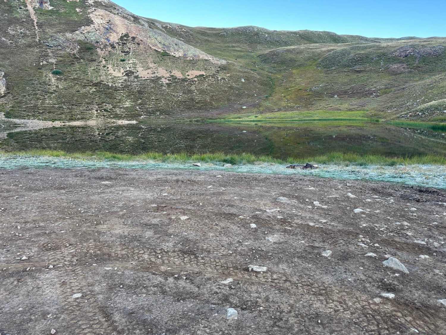
Matukat Road is a well-maintained gravel road connecting CO 77 to US 285 via Stoney Pass on the Eastern edge of the Lost Creek Wilderness and Tarryall Mountains. The vast majority of the road passes through the unrecovered 2002 Hayman fire leaving an almost lunar landscape throughout. It is no longer a forest and more of a grassland.
Photos of Matukat Road
Difficulty
This is a wide small, loose gravel road suitable for any vehicle.
History
The 2002 Hayman fire began with arson by a USFS employee was the largest wildfire in Colorado history in 2002, but it has since been surpassed. This is largely a ponderosa pine forest and because of the unique nature of ponderosa pines, it is never expected to recover to be a forest.
Status Reports
Matukat Road can be accessed by the following ride types:
- High-Clearance 4x4
- SUV
Matukat Road Map
Popular Trails
Long Hollow 60 inch Trail (FS 650)
39 Mile Mountain Road
Michigan Creek Road
The onX Offroad Difference
onX Offroad combines trail photos, descriptions, difficulty ratings, width restrictions, seasonality, and more in a user-friendly interface. Available on all devices, with offline access and full compatibility with CarPlay and Android Auto. Discover what you’re missing today!