Maverick
Total Miles
1.6
Technical Rating
Best Time
Spring, Summer, Fall, Winter
Trail Type
50" Trail
Accessible By
Trail Overview
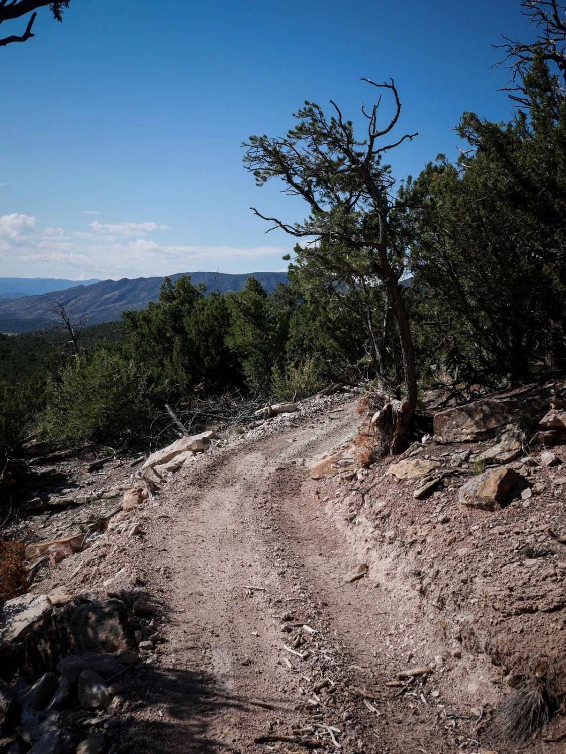
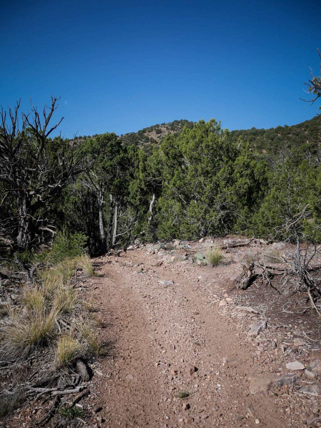
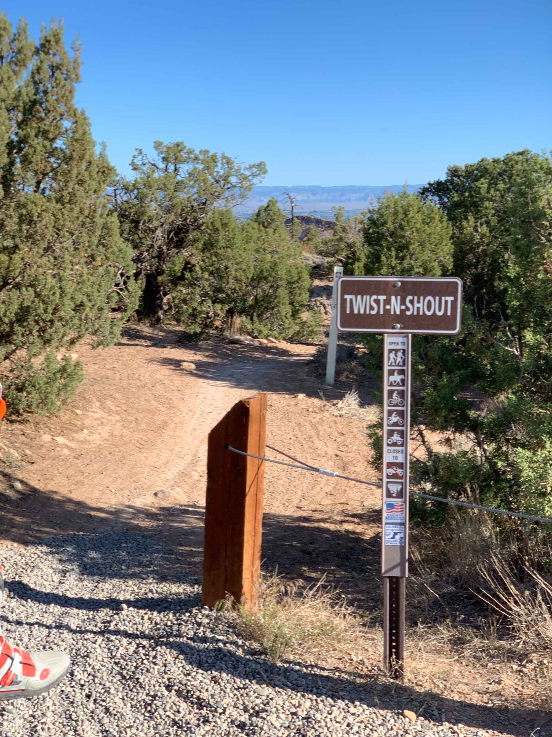
Maverick Trail is 1.6 miles long, for vehicles 50" or less. The north end starts at a wooden pinch point and enters the pinyon pine trees. You have to duck under several branches when making many sharp turns and twisty curves through the trees. There are loose small pieces of rock in the trail, but less of the big rocks that you'll find on some of the trails on the east side of the Recreation Area. It's fast and flowy and fun, snaking around all the corners. It crosses a road near the south end and descends down to the intersection with 5830A. This is one of the easiest trails in the area. You can make a fun and more challenging loop around the whole Seep Springs Recreation area by going clockwise, taking 5830A to Maverick, connecting via the Jeep roads to 5830C and Fred Garza Memorial trail, and returning to the staging area via 5830E and D.
Photos of Maverick
Difficulty
The Maverick trail is one of the easier trails within the Seep Springs recreation area. It has far fewer rocks than you'll find on trails like Fred Garza. It has lots of twisty turns and loose rocks, but no big ledges or obstacles.
Status Reports
Maverick can be accessed by the following ride types:
- ATV (50")
- Dirt Bike
Maverick Map
Popular Trails
Marshall Pass
Butterknife
Porter Cutoff - FS 535
The onX Offroad Difference
onX Offroad combines trail photos, descriptions, difficulty ratings, width restrictions, seasonality, and more in a user-friendly interface. Available on all devices, with offline access and full compatibility with CarPlay and Android Auto. Discover what you’re missing today!
