Middle Barrett Creek
Total Miles
3.1
Technical Rating
Best Time
Summer, Fall
Trail Type
Single Track
Accessible By
Trail Overview
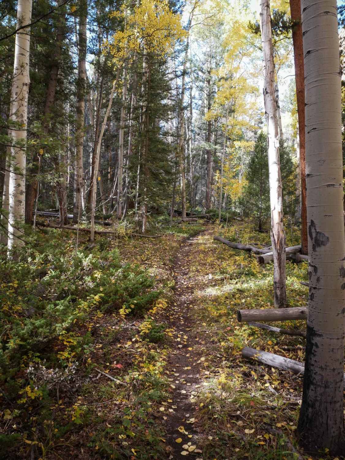
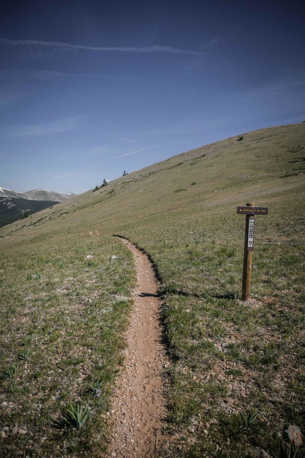
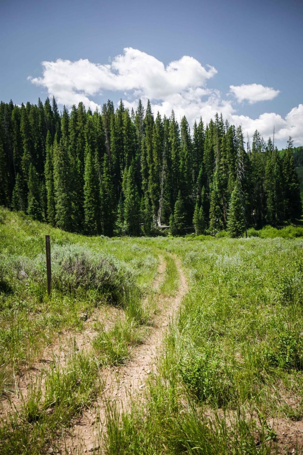
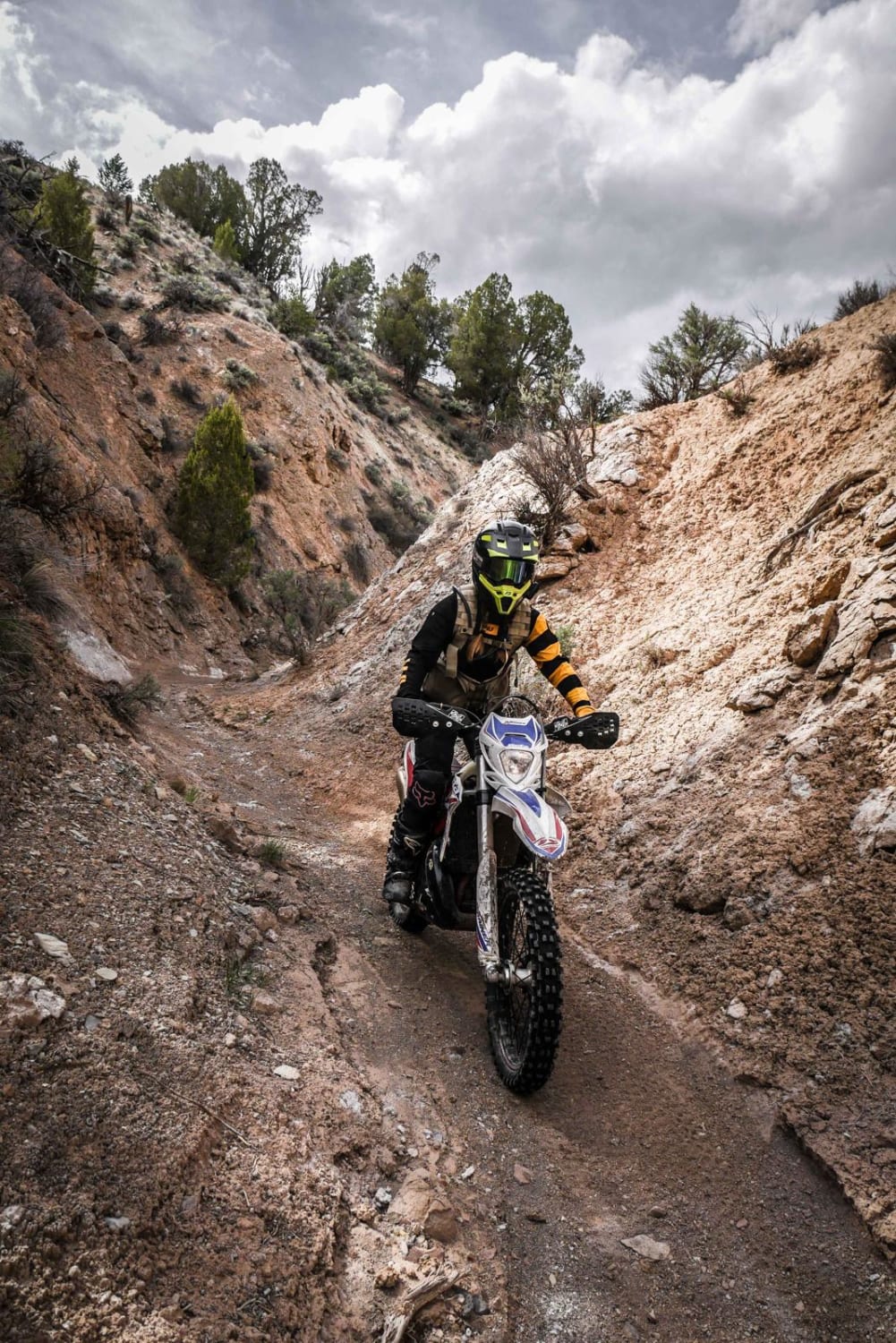
Middle Barrett Creek Single Track is a fun alpine trail through the Gunnison National Forest near Sargents, Colorado. It's part of a fun trail system that has a lot of challenging rocky trails. The north end of the trail starts as a skinny and easy single track through lower-elevation rolling hills of sagebrush in cattle grazing lands. It heads into a forest of beautiful pines and aspens that are amazing in the fall when the colors start to change, and there starts to be some rocks in the trail. There's potential for new downfall in the forest section, but a lot of logs have been cut. It steeply climbs up the mountain on a narrow trail with medium-sized roots and small embedded rocks, adding some difficulty. The climb gets really rocky in later spots, with some big embedded boulders, a bunch of loose baby heads, ruts, roots, and sticks. This continuous climb will be a good challenge for less experienced riders. It gains almost 1,500 feet over 3.2 miles, with the steepest parts at the southern end. At the south end, it connects to the North Gulch Single Track.
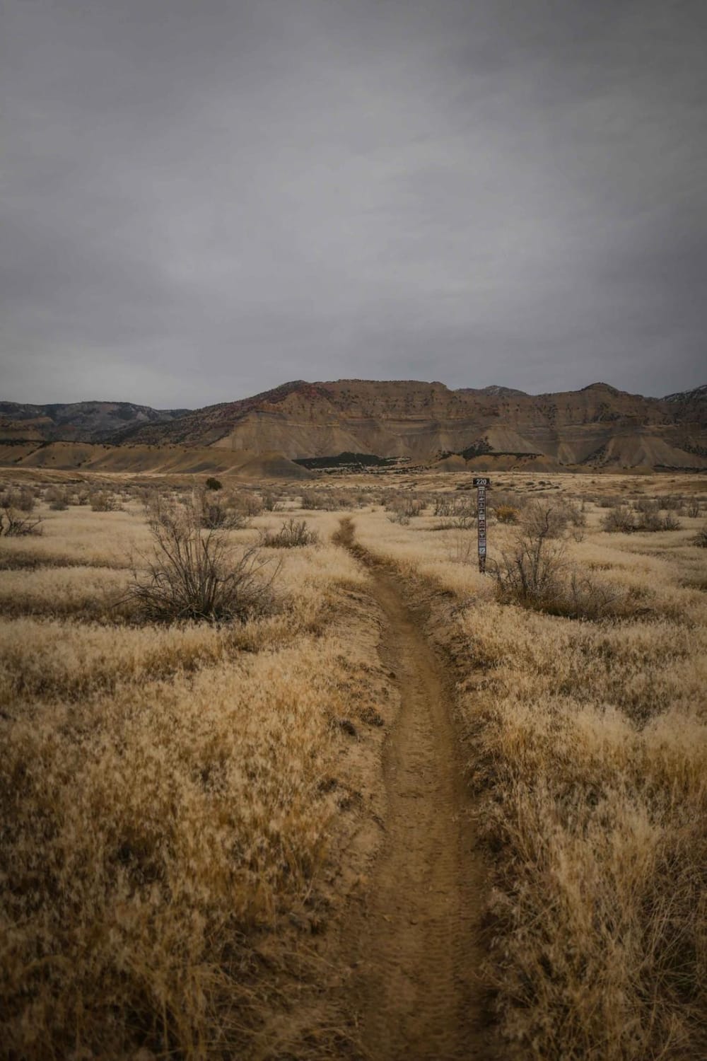
Photos of Middle Barrett Creek

Difficulty
The northern end is easier with just small logs and rocks, but as you go south, it becomes more difficult as it climbs up the mountain and the climb gets steeper and rockier. This steep rocky climb makes it intermediate difficulty.
Status Reports
Middle Barrett Creek can be accessed by the following ride types:
- Dirt Bike
Middle Barrett Creek Map
Popular Trails
Nipple Peak ATV Trail
The onX Offroad Difference
onX Offroad combines trail photos, descriptions, difficulty ratings, width restrictions, seasonality, and more in a user-friendly interface. Available on all devices, with offline access and full compatibility with CarPlay and Android Auto. Discover what you’re missing today!