Mount Antero Access
Total Miles
1.2
Technical Rating
Best Time
Summer, Fall
Trail Type
Full-Width Road
Accessible By
Trail Overview
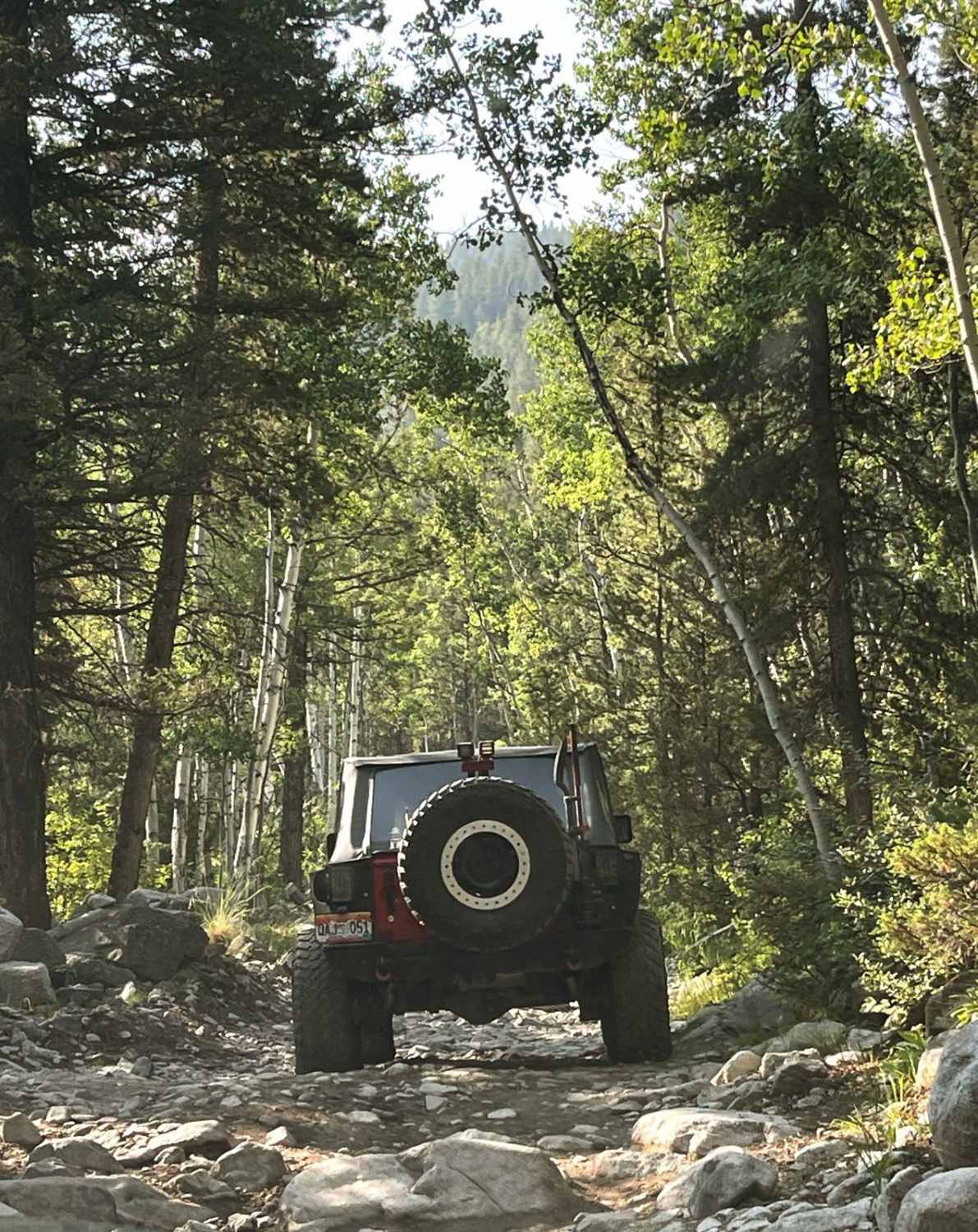
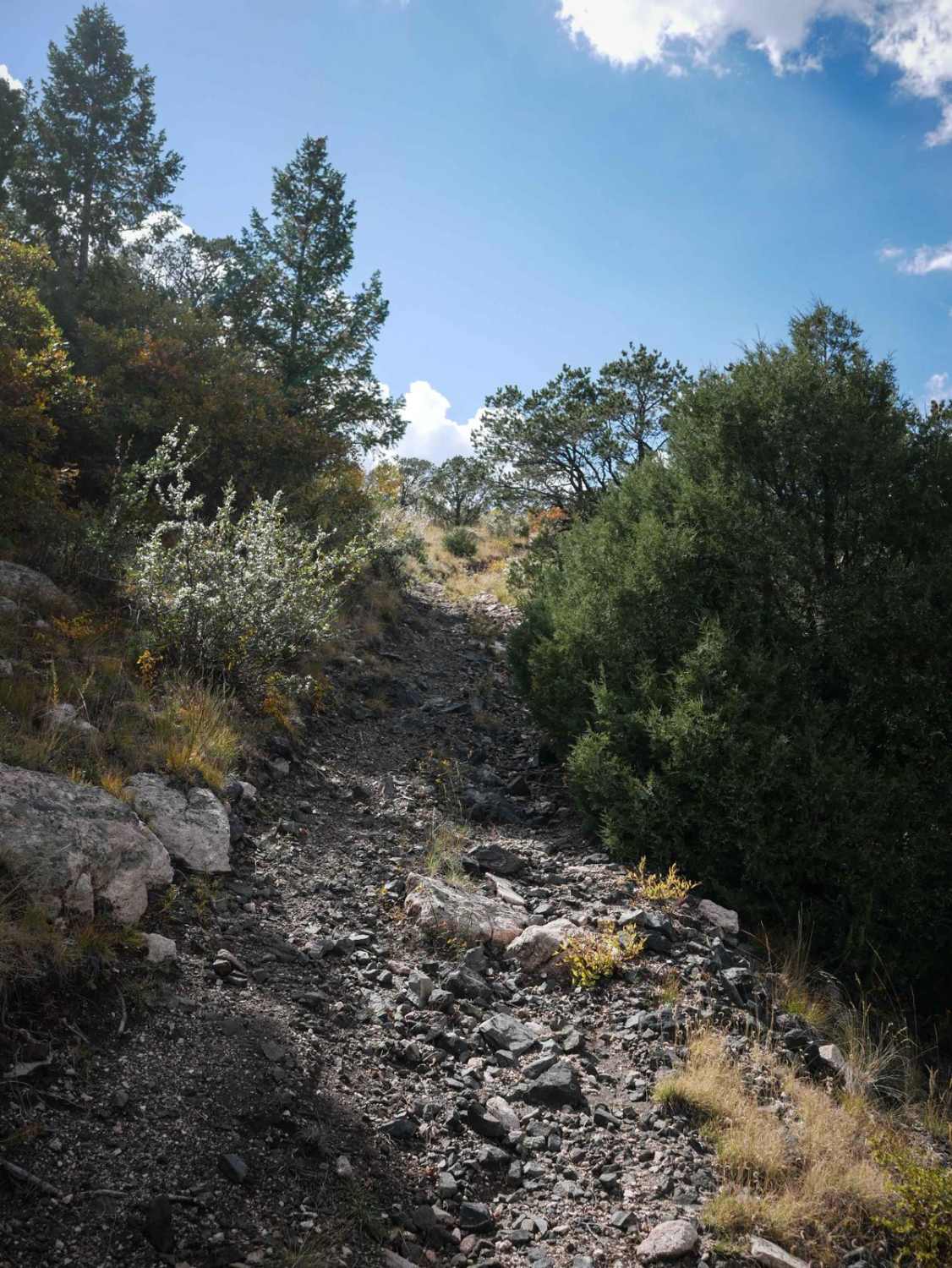
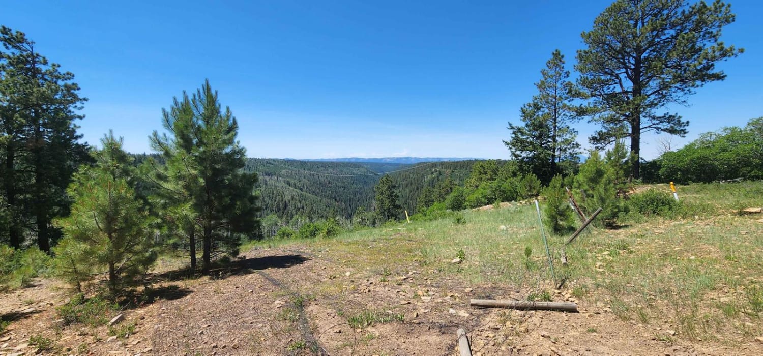
This trail is the beginning of the Mount Antero route starting at the trailhead on Chalk Creek Drive. Combine this trail with part of Baldwin Lakes Trail, part of Browns Creek Trail, and Mount Antero Pass Trail for a complete route from the trailhead to the top of Mount Antero, at over 13,700 feet. Mount Antero Access starts right off with a few water crossings and shelf exposure areas. The shelf exposure results in a 5 rating for this Trail. There are campsites along the route.
Photos of Mount Antero Access

Difficulty
The trail is mostly rocky with several narrow sections making it difficult to pass. The moderate rating is due to shelf exposure. There are some obstacles along the trail that pose difficulty as well.
Status Reports
Mount Antero Access can be accessed by the following ride types:
- High-Clearance 4x4
- SUV
- SxS (60")
- ATV (50")
- Dirt Bike
Mount Antero Access Map
Popular Trails
Spring Cr Pt Road

Big Creek Scout Trail
Farwell Connector
The onX Offroad Difference
onX Offroad combines trail photos, descriptions, difficulty ratings, width restrictions, seasonality, and more in a user-friendly interface. Available on all devices, with offline access and full compatibility with CarPlay and Android Auto. Discover what you’re missing today!