Mount Baldy
Total Miles
6.2
Technical Rating
Best Time
Summer, Fall
Trail Type
Full-Width Road
Accessible By
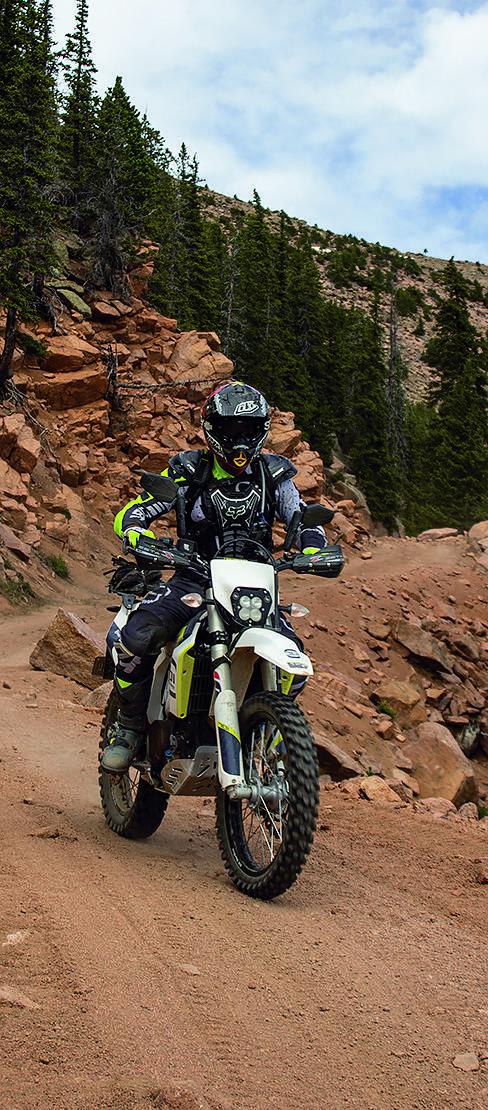
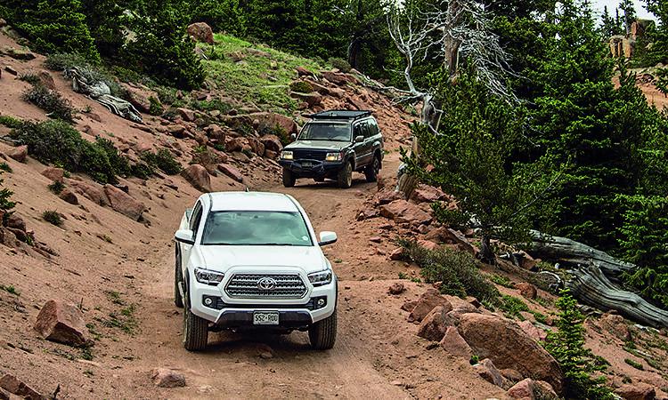
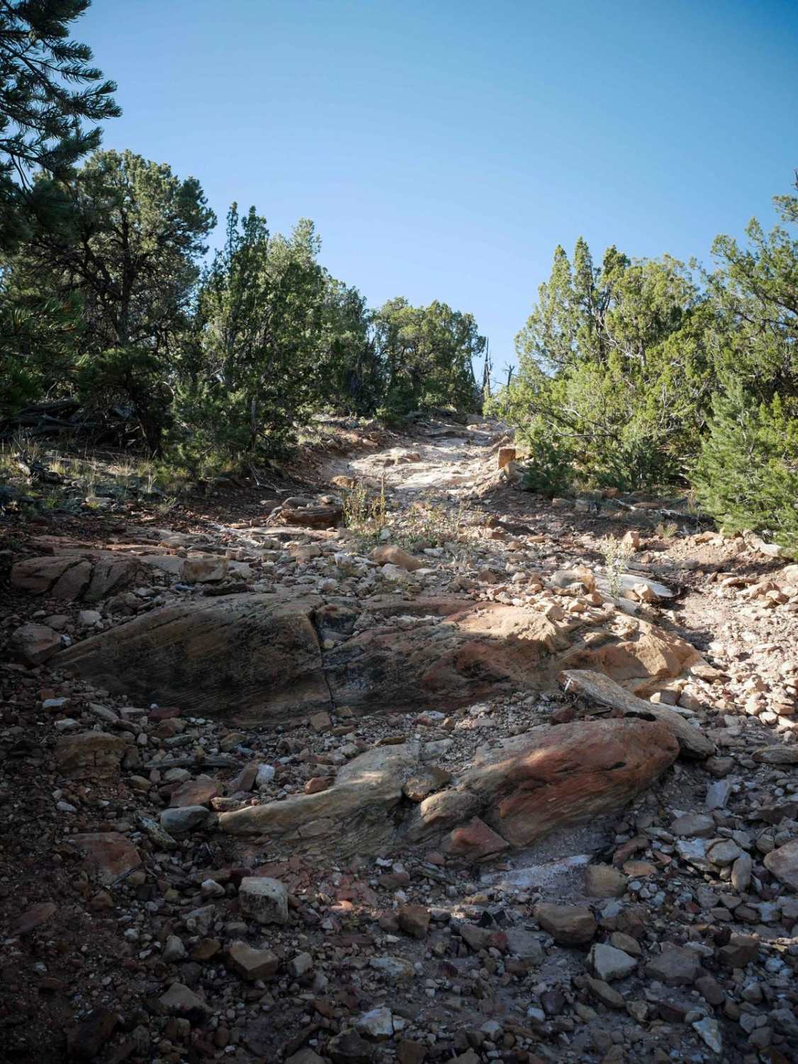
Trail Overview
As you start the trail, you'll pass through Frosty Park where you'll find some great camping spots. The trail ends just below Mt. Baldy and south of Almagre Mountain. You'll have to hike the rest of the way, but you'll get astounding, panoramic views from the top of of these peaks. When you're ready to come down, you can return the way you came or drive west through Elk Park.
Photos of Mount Baldy
Difficulty
Easy. This road is used to service communication towers at the top of Mt. Baldy. It is usually maintained, but frequent rock slides along narrow ledge road 379A can make the road more difficult. If you run into a rock slide, you may have to back up a considerable distance to find a wide spot to turn around.
Status Reports
Mount Baldy can be accessed by the following ride types:
- High-Clearance 4x4
- SUV
- SxS (60")
- ATV (50")
- Dirt Bike
Mount Baldy Map
Popular Trails

16 Road, Coal Gulch

Little Wolford Mountain

Tenderfoot Mountain
The onX Offroad Difference
onX Offroad combines trail photos, descriptions, difficulty ratings, width restrictions, seasonality, and more in a user-friendly interface. Available on all devices, with offline access and full compatibility with CarPlay and Android Auto. Discover what you’re missing today!