Mt. Herman & Rampart Range Roads
Total Miles
35.2
Technical Rating
Best Time
Summer, Fall
Trail Type
Full-Width Road
Accessible By
Trail Overview
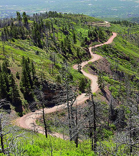
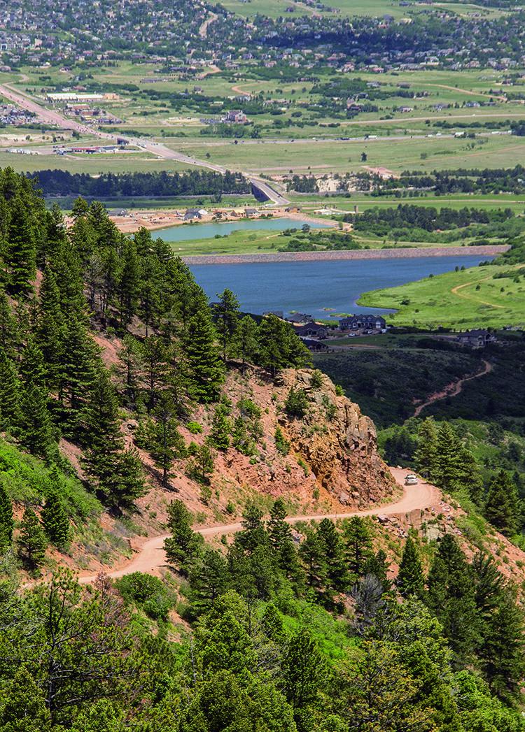
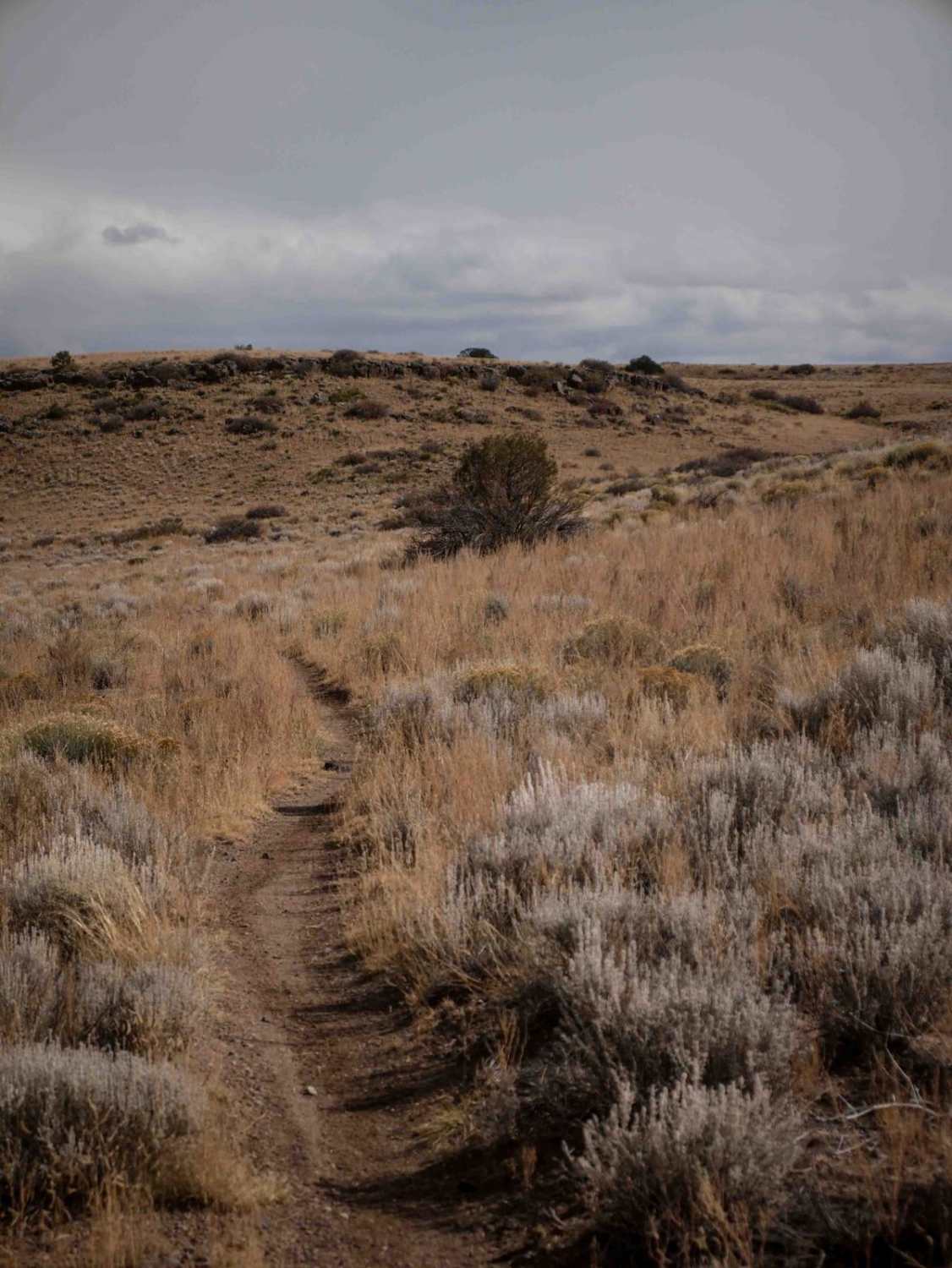
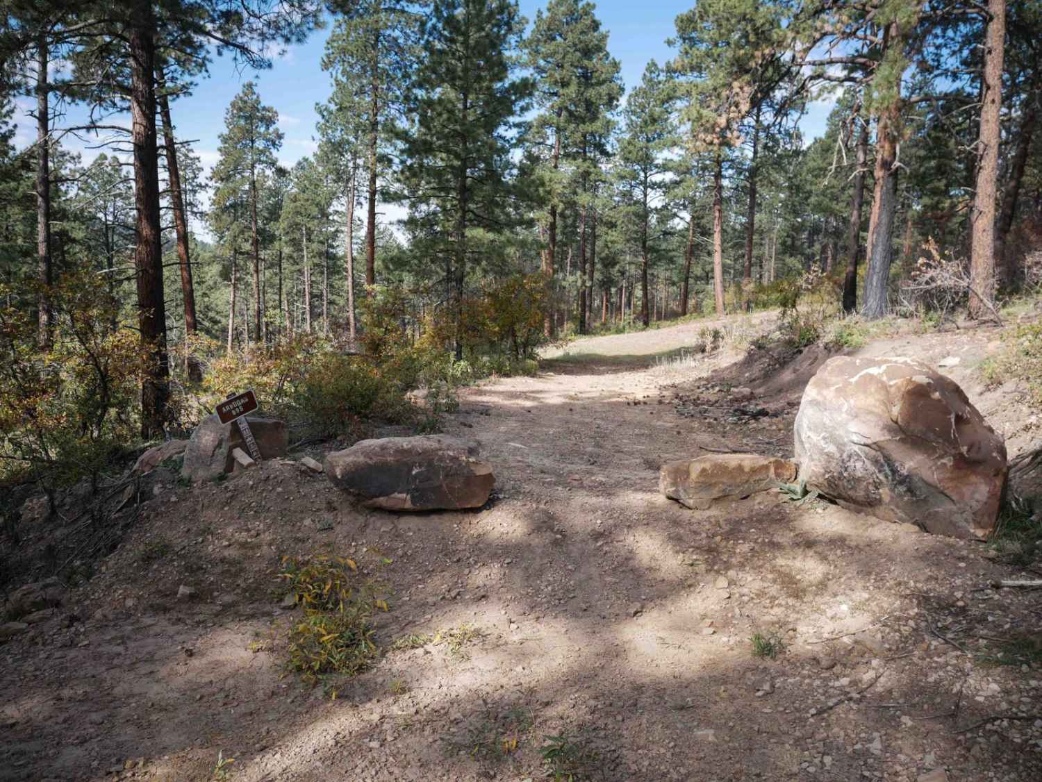
This section of Rampart Range Road is nicely maintained and provides amazing scenery as you drop into the Garden of the Gods Park. The route starts where Mt. Herman Road, the Schubarth Loop, and Range Road all come together on FR300 just east of Woodland Park. The route is made up of forestry service roads and shelf roads as you come down into Garden of the Gods. The roads consist of mostly loose gravel with lots of dust and plenty of washboards. A few places have some washouts but nothing too deep and the roads. Traffic at the route start may be heavier than at Garden of the Gods with folks camping and hiking. Be aware that some areas along the route do not allow camping, and unlicensed vehicles aren't allowed on the main roads. There are a few side roads, but they are short. Mt. Herman Road conditions are unpredictable depending on what maintenance has been done. It is steep and narrow, with occasional ruts. All roads and trails in the Rampart Range Recreation Area are closed on December 1 through mud season, so be sure to check trail status before your trip.
Photos of Mt. Herman & Rampart Range Roads
Difficulty
This trail is easy. You'll see cars on the upper parts of Rampart Range Road near Woodland Park and Rampart Reservoir. Fewer cars go all the way to Garden of the Gods Park because the road gets increasingly rougher as it descends. The condition of Mt. Herman Road varies depending on recency of maintenance. It is narrow and steep in places and ruts are possible at times.
History
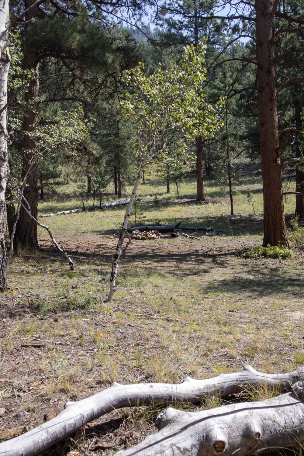
A large portion of the route is through the Waldo Canyon burn scar from 2012 and shows the amount of damage from the largest wildfire in Colorado Springs history. Thankfully, there are some areas of new aspen growth coming in to repair the fire ravaged area.
Status Reports
Mt. Herman & Rampart Range Roads can be accessed by the following ride types:
- High-Clearance 4x4
- SUV
Mt. Herman & Rampart Range Roads Map
Popular Trails
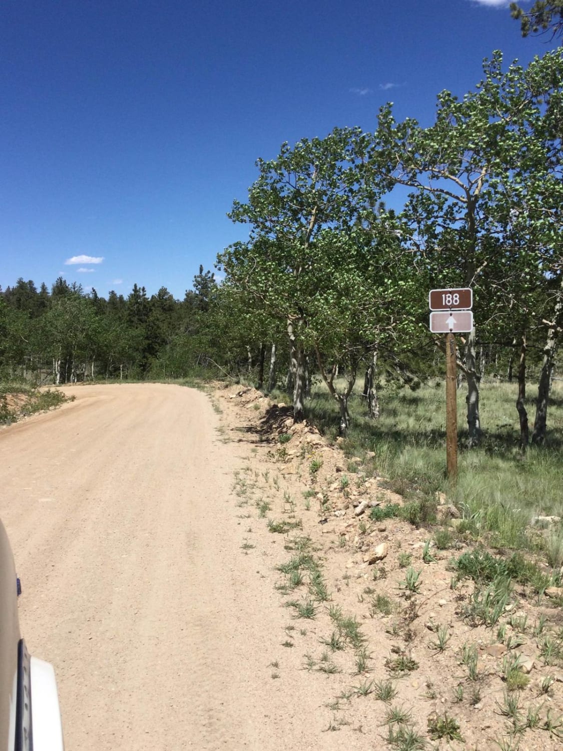
Castle Rock Gulch Road (188)
The onX Offroad Difference
onX Offroad combines trail photos, descriptions, difficulty ratings, width restrictions, seasonality, and more in a user-friendly interface. Available on all devices, with offline access and full compatibility with CarPlay and Android Auto. Discover what you’re missing today!