Red Rocks
Total Miles
2.5
Technical Rating
Best Time
Fall, Spring
Trail Type
Single Track
Accessible By
Trail Overview
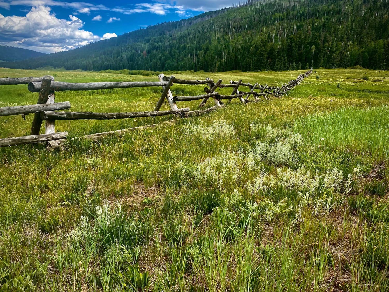
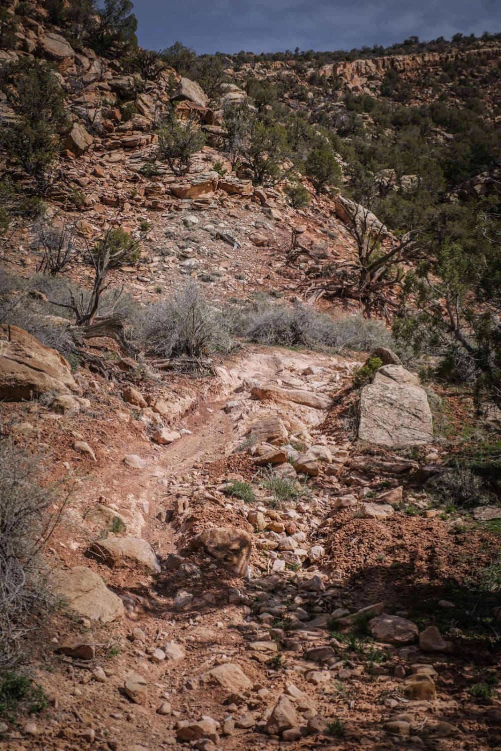
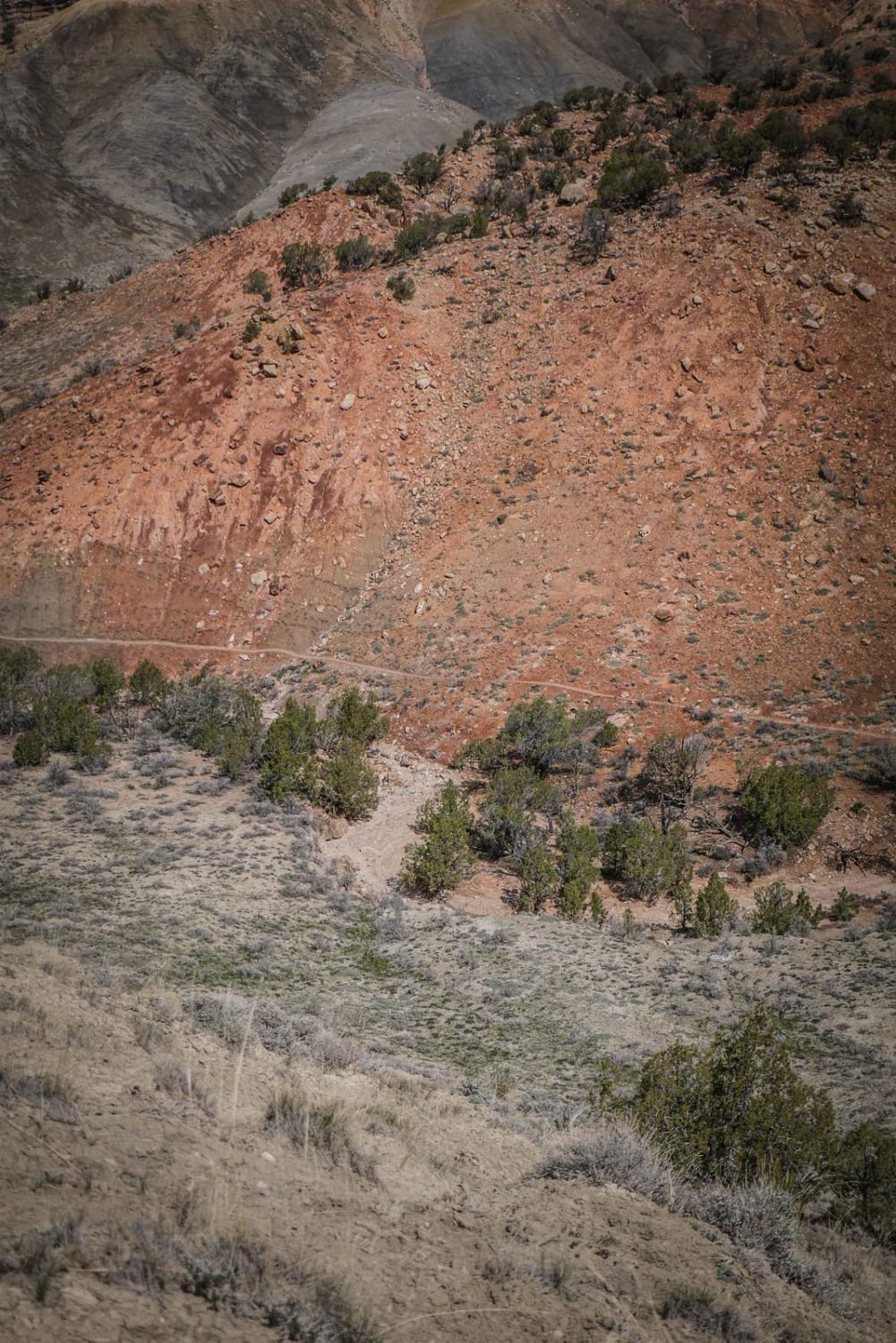
Red Rocks Trail is a fun single track in the Flat Top Peach Valley Recreation Area. Access it by following Elephant Skin Road all the way to the back of the valley where the adobe hills end and the pine tree-covered mesas start. You have to access this trail through the northern half of Donkey Trail. The trail is a dirt narrow single track with twisty turns through the pinyon pine and traverses across the rolling hills at the bottom of the mesa. It has lots of ups and downs, small climbs and descents, with big loose rocks on the trail and small boulders lining the trail. There are a couple of big rock obstacles like at the crest of a hill that you have to go down or up that is an intermediate difficulty. The trail goes through a really scenic and unique landscape with a mix of red, brown, grey, and white dirt and more vegetation than you see in the lower adobe hills, which is a fun change if you've been riding a lot of the adobe trails in the area. There is an unmarked intersection when the trail goes back into a brown and barren adobe landscape. Stay left and then continue along that ridge line. There's a very narrow side-hilling section on the side of one of the hills here. Eventually, it comes to an intersection for Red Rocks Trail and Red Rocks Connector. Red Rock Connector will take you out to the end of this GPS track and connect back to Elephant Skin Road. This last section of the trail goes through more of a flat landscape with green grass. It's still a narrow trail and has lots of G-outs and ravine crossings with big dips. This is a very fun trail in a very scenic location.
Photos of Red Rocks
Difficulty
This trail is an intermediate difficulty based on the narrow side-hilling sections, tight twisty turns, loose rock, and small rock ledge obstacles.
Status Reports
Red Rocks can be accessed by the following ride types:
- Dirt Bike
Red Rocks Map
Popular Trails

East Animas Road

Piedra Road-Fr Rd 631

Turner Gulch Road
The onX Offroad Difference
onX Offroad combines trail photos, descriptions, difficulty ratings, width restrictions, seasonality, and more in a user-friendly interface. Available on all devices, with offline access and full compatibility with CarPlay and Android Auto. Discover what you’re missing today!


