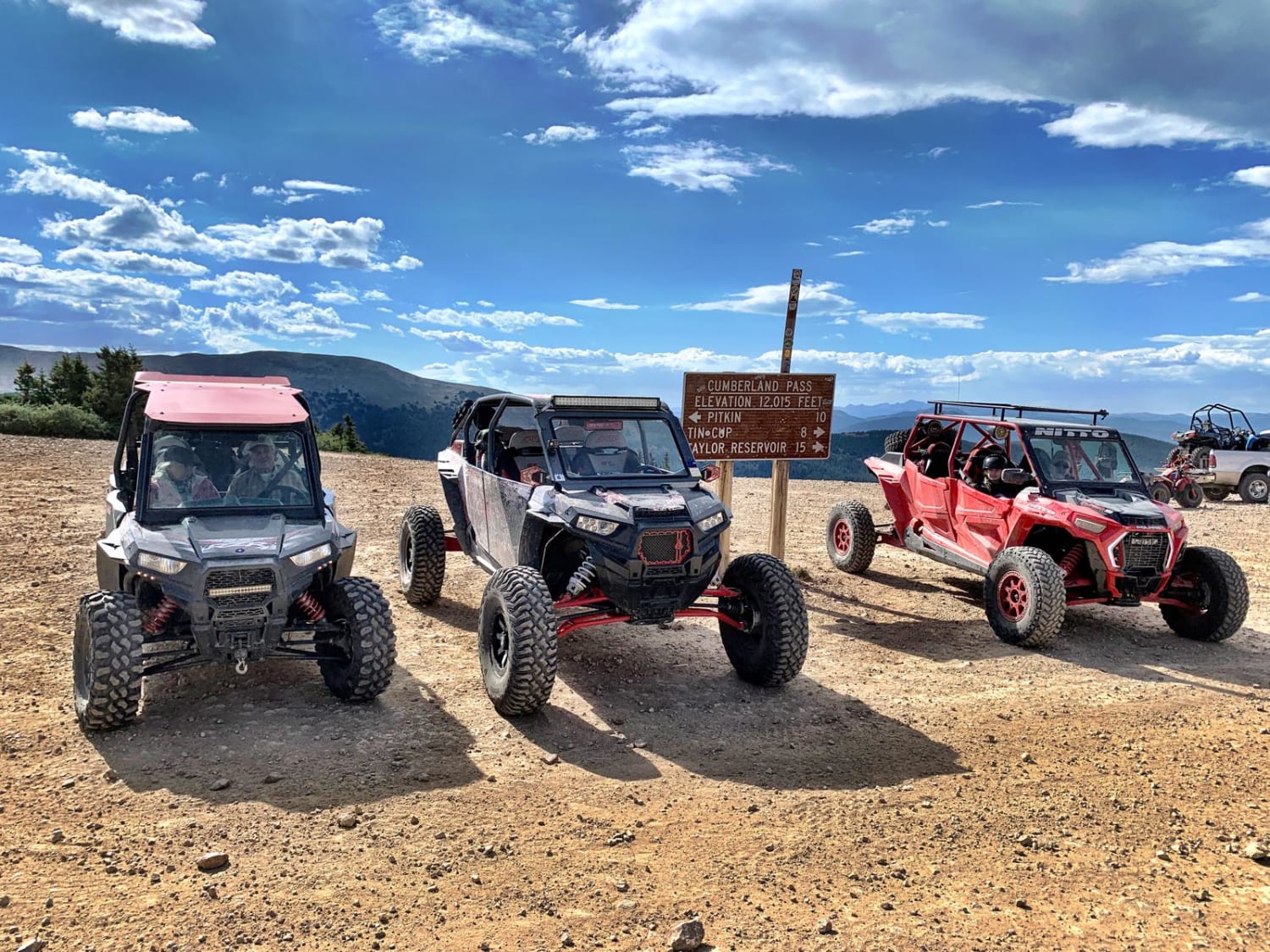
Scenic Cumberland Pass
Total Miles
15.8
Technical Rating
Best Time
Summer, Fall
Trail Type
High-Clearance 4x4 Trail
Accessible By
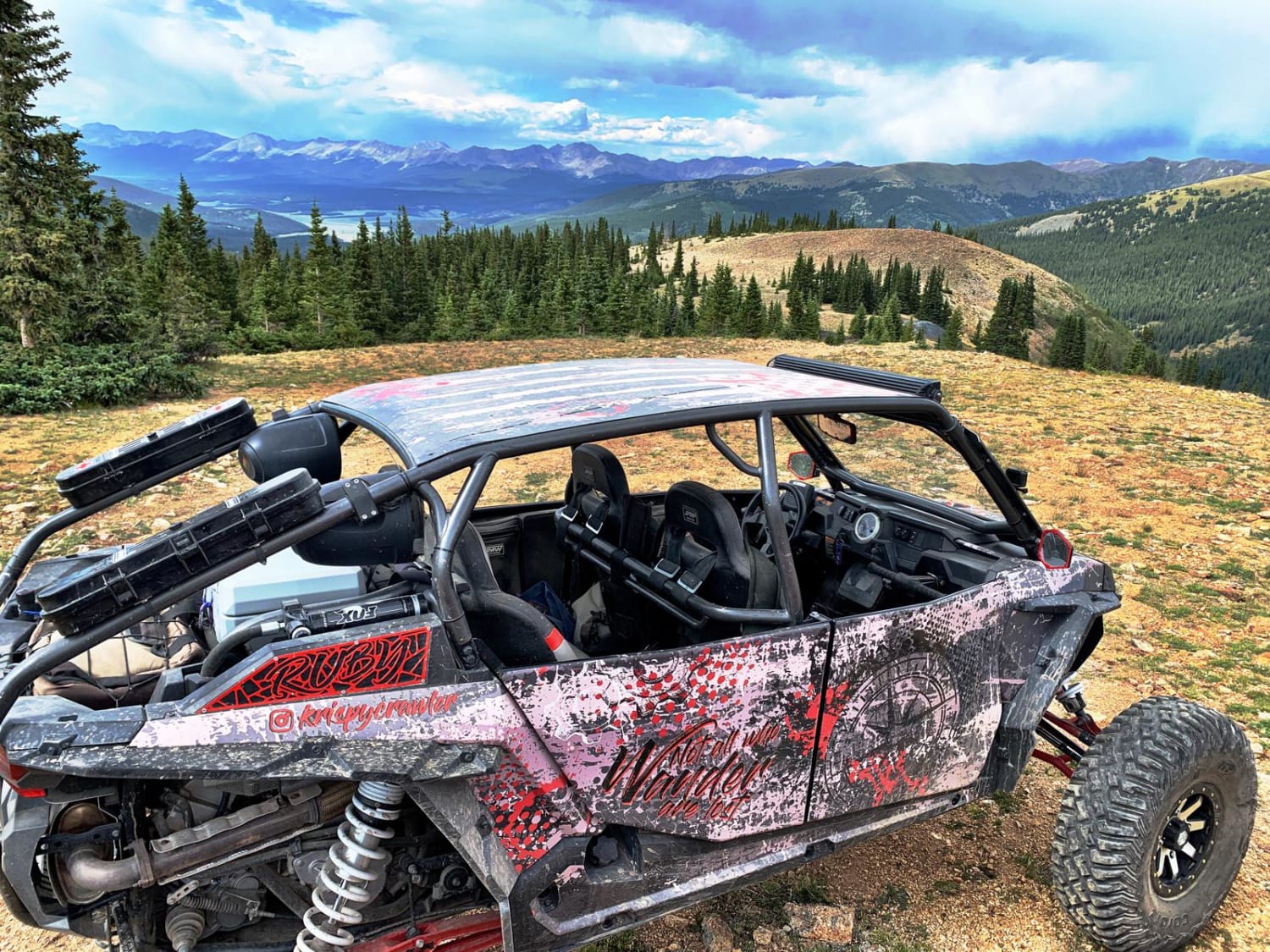
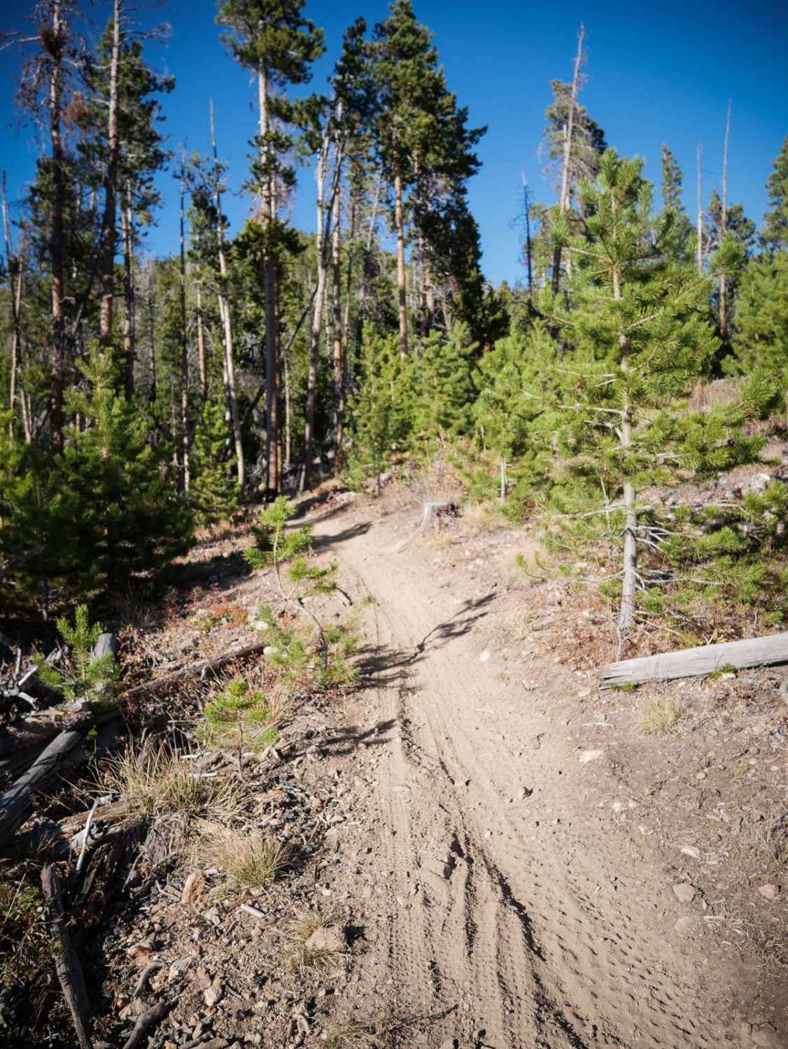
Trail Overview
Take this scenic trail parallel to Cumberland pass. These old mining roads take you to some historical sights, and an incredible 360-degree view at the peak of Napoleon Mountain. Feel free to explore more of the mining roads you find, but be sure to stay on the roads and off public property. These are old mining roads, so there are a few steep, rocky and narrow climbs.
Photos of Scenic Cumberland Pass
Difficulty
4WD is not usually needed, but these are narrow, steep, rocky mining roads. Some may be covered in snow through July.
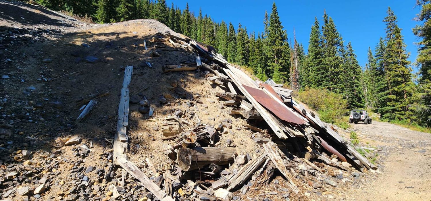
History
Cumberland Pass had a pack trail originally, where burros hauled supplies in, and ore out, of the Tincup mining district. In 1882, the trail was widened to a wagon road over the 12,000-foot pass. This allowed direct access from the Tincup area to the Denver, South Park, and Pacific railroad that came over the Alpine Tunnel to Pitkin. There were mines on both sides of the pass, which used Cumberland Pass, to transport ore and bring in supplies. Past the first switchback on the Pitkin side was the Bon Ton Mine. The first automobile crossed Cumberland Pass in 1905, but it had to be pulled by a team of horses part way. In 1935, the Civilian Conservation Corps improved the road. In the 1950s it was upgraded again.
Status Reports
Scenic Cumberland Pass can be accessed by the following ride types:
- High-Clearance 4x4
- SxS (60")
- ATV (50")
- Dirt Bike
Scenic Cumberland Pass Map
Popular Trails
Chatauqua Mine Road
The onX Offroad Difference
onX Offroad combines trail photos, descriptions, difficulty ratings, width restrictions, seasonality, and more in a user-friendly interface. Available on all devices, with offline access and full compatibility with CarPlay and Android Auto. Discover what you’re missing today!