Teton Ridge
Total Miles
2.9
Technical Rating
Best Time
Fall, Spring
Trail Type
Single Track
Accessible By
Trail Overview
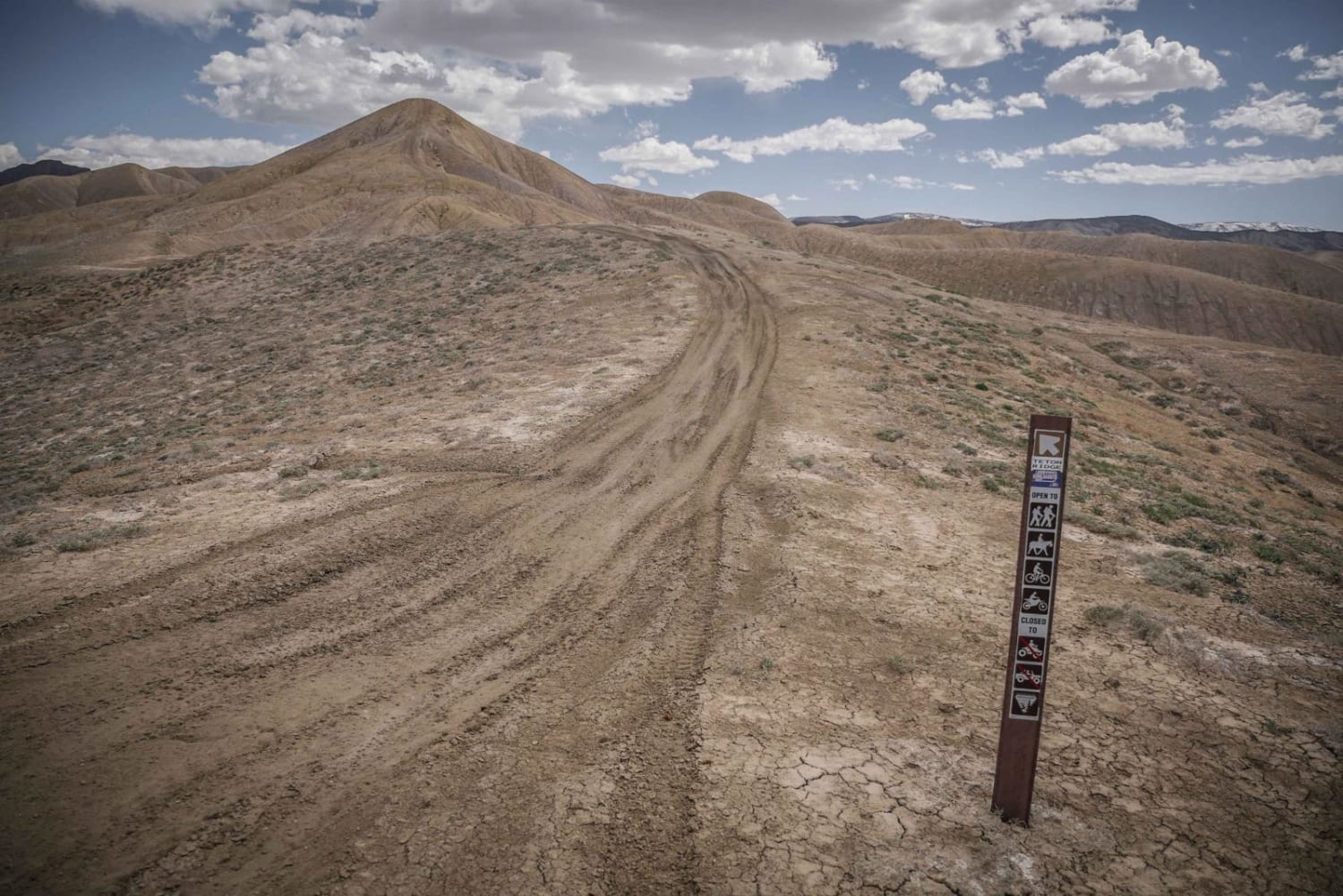
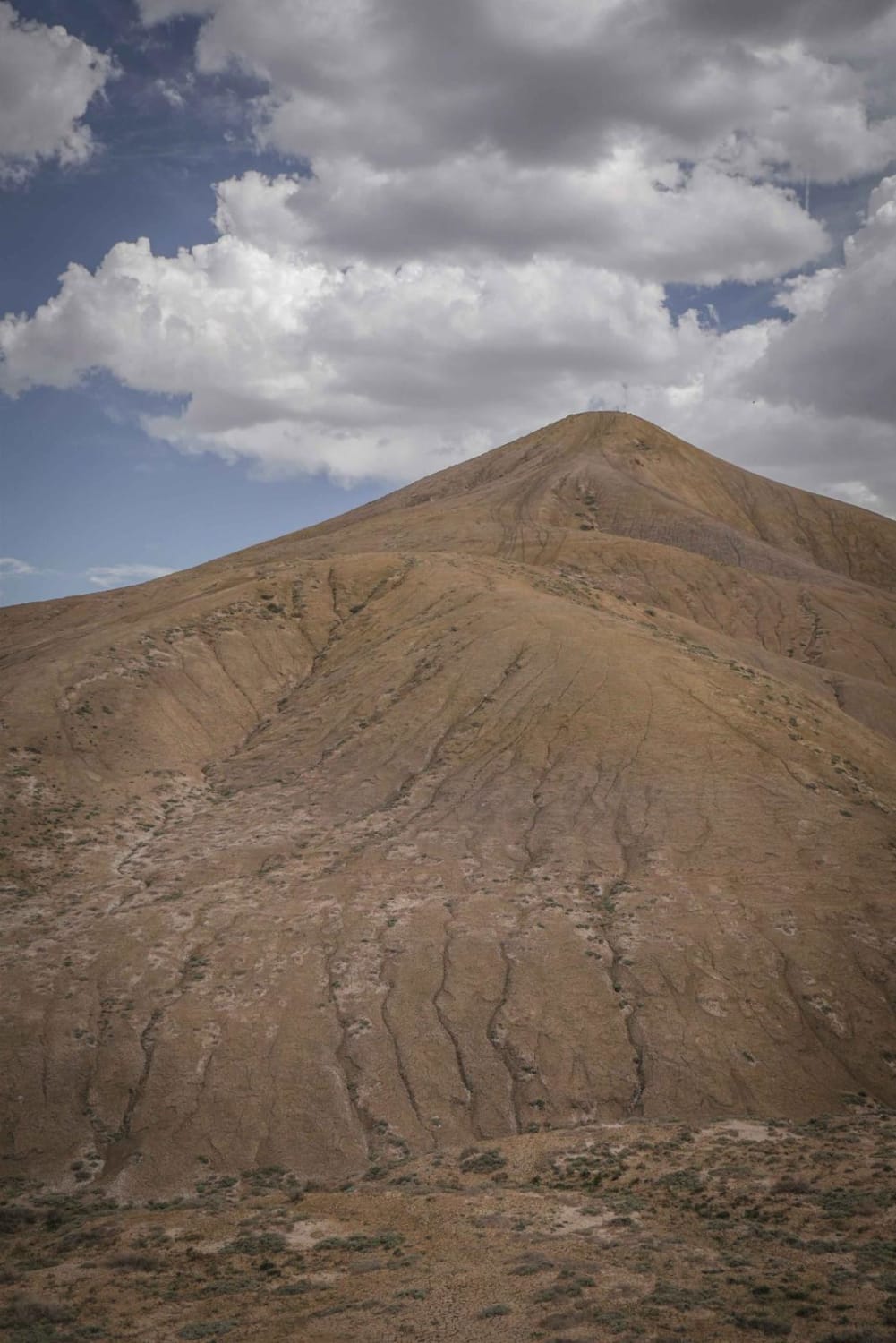
Teton Ridge trail is a narrow single track in the Flat Top - Peach Valley recreation area, which is a 9,700-acre area mostly of adobe clay badlands. It goes up and over a series of adobe hills with steep climbs and descents, and continues on top of the ridge line the whole way. The trail is easy because there are no difficult obstacles and no rocks in the trail, but you must be comfortable with steep climbs, downhills, and heights. Keep the momentum on the climbs and smooth steady braking downhill to avoid locking up the tires. The trail has views of the whole badlands area and snow-capped mountains in the distance. The ridge line is narrow, with views down the really steep adobe hills right next to you. The trail is more narrow than Eagle Ridge, but not enough to feel like you're going to fall off the trail. Coming from the Elephant Skin staging area, the very first hill climb is the biggest one and there is a split in the trail where you can go around it to the right on a more flat and gradual hill climb. It is very obvious where it meets back up after splitting, and you can see both trails the whole time. The trail is marked with trail signs frequently throughout the trail for Teton Ridge. It ends at the intersection with Dump Ridge. There are small bushes and purple wildflowers along some of the ridge lines in spring which is fun to see contrasting the clay hills. There are also some whoops on the climbs. Spring and Fall are the best times to ride in this area, but it can get really windy on the tops of the adobe hills.
Photos of Teton Ridge
Difficulty
The difficulty comes from the steep adobe hill climbs and narrow trails on the ridge lines, but the trail itself is smooth with no rocks and no obstacles.
Status Reports
Teton Ridge can be accessed by the following ride types:
- Dirt Bike
Teton Ridge Map
Popular Trails

BLM Route 017

Powerline - Cunningham Road

Red & White Mountain
The onX Offroad Difference
onX Offroad combines trail photos, descriptions, difficulty ratings, width restrictions, seasonality, and more in a user-friendly interface. Available on all devices, with offline access and full compatibility with CarPlay and Android Auto. Discover what you’re missing today!


