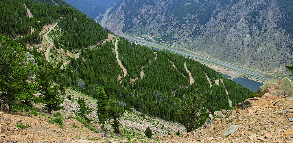
Upper Hall Valley
Total Miles
4.1
Technical Rating
Best Time
Summer, Fall
Trail Type
Full-Width Road
Accessible By
Trail Overview
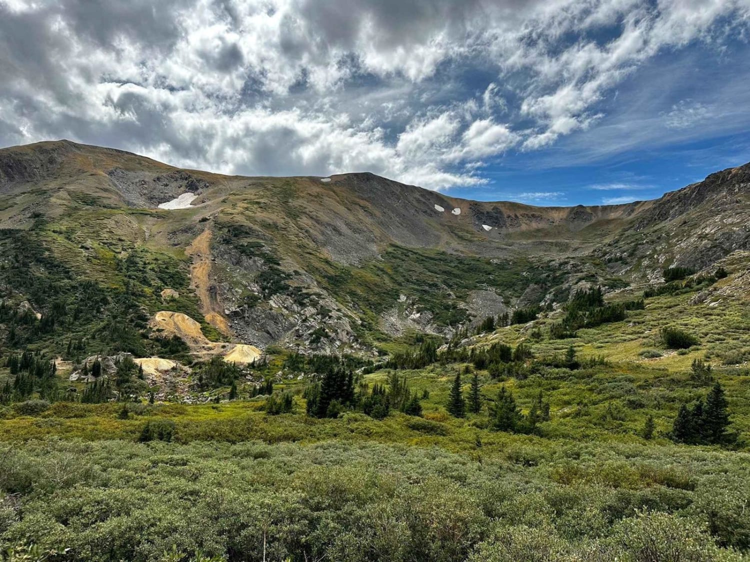
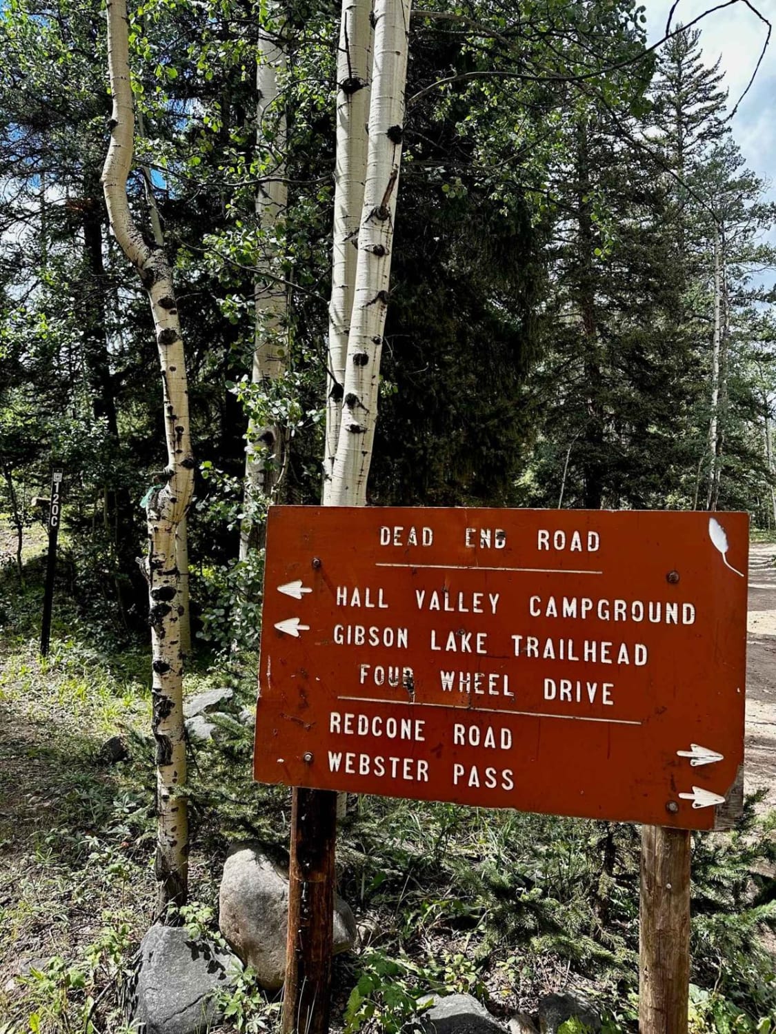
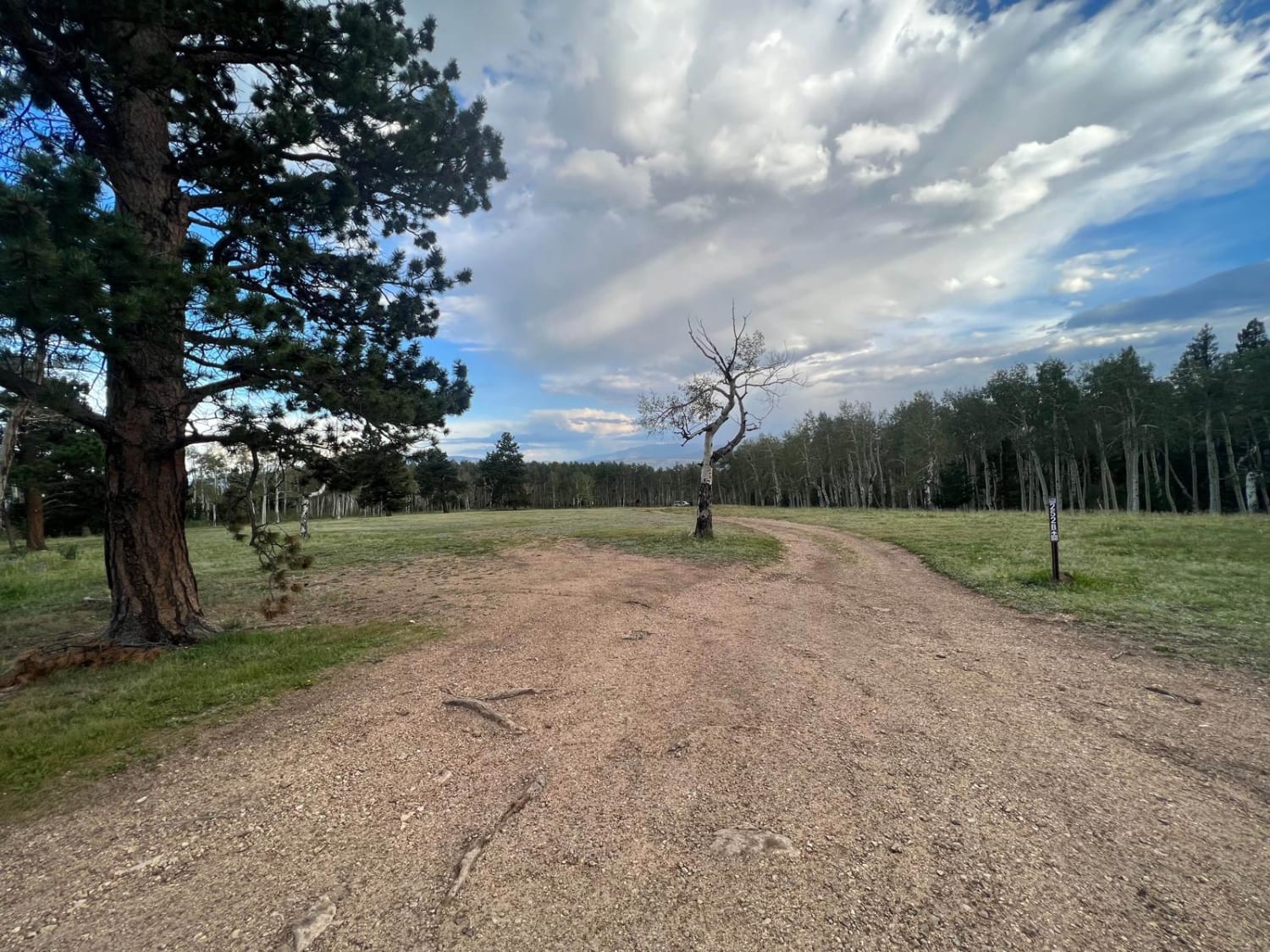
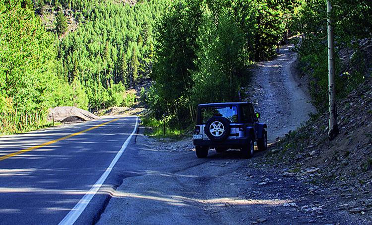
The route begins on FS 120C at the juncture with Redcone and Webster Pass. Head towards Hall Valley campgrounds and Gibson Lake. The route passes through lots of pine and aspen groves on a rocky road requiring 4WD. There is a stream crossing towards the beginning section of the trail around 8 inches deep. Rocks vary in size up to 8 inches until the very last dispersed camping spot with a sign marking it as the 20th dispersed camping spot. From here, the road forks. To the right, the trail deadends after another half mile at a gate with radioactive hazard signs stating to stay out. This section does offer beautiful views. Then to the left, you can continue on toward the Missouri Mine. This section is the most difficult, with lots of willows, off-camber pitches, and rock obstacles over 12 inches' requiring high ground clearance.
Photos of Upper Hall Valley
Difficulty
Most of the trail is between a 2-3 and very accessible for small overland trailers. After camping spot number 20, the route is narrow with larger obstacles and tight turns. Do not take a trailer past campsite 20, as there's no place to turn around.
Status Reports

Popular Trails
Devil's Canyon
Saxon Mountain
Rattlesnake Arches Jeep Trail
The onX Offroad Difference
onX Offroad combines trail photos, descriptions, difficulty ratings, width restrictions, seasonality, and more in a user-friendly interface. Available on all devices, with offline access and full compatibility with CarPlay and Android Auto. Discover what you’re missing today!