West Fork Cimarron Road
Total Miles
3.4
Technical Rating
Best Time
Summer, Fall
Trail Type
Full-Width Road
Accessible By
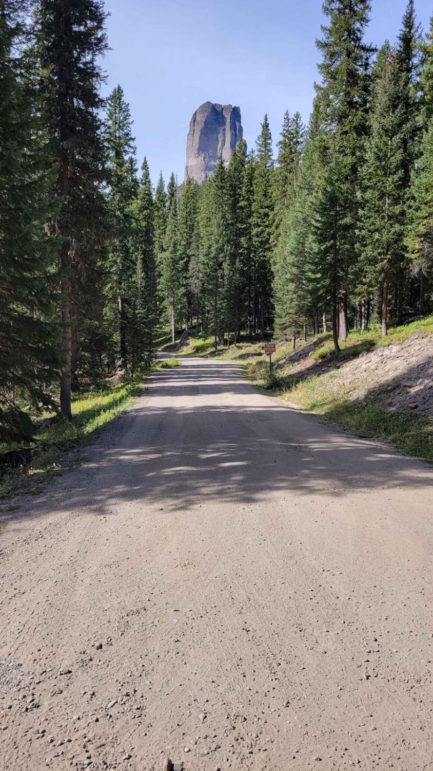
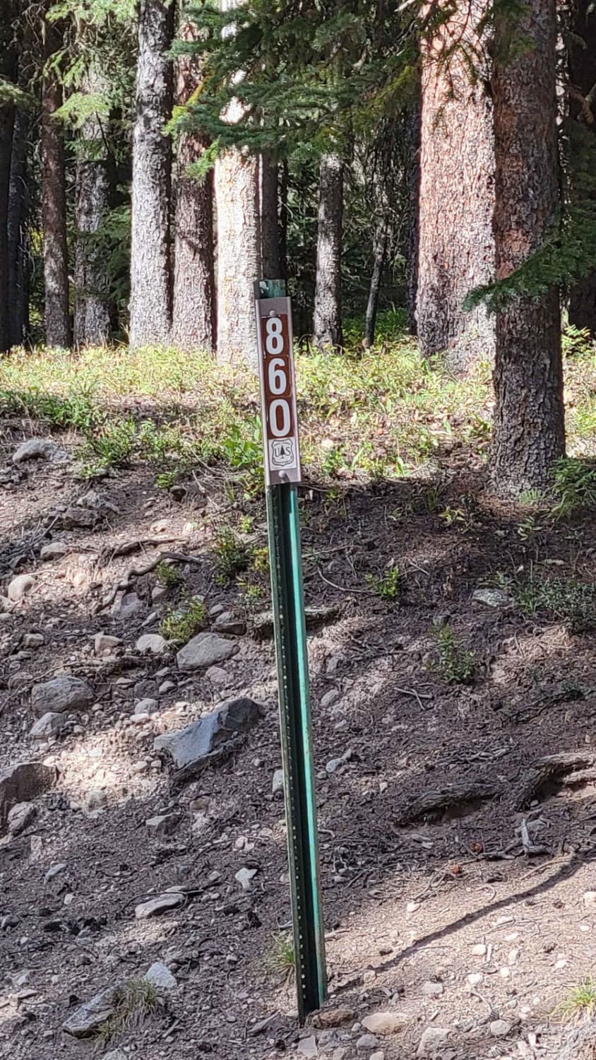
Trail Overview
This beautifully scenic route takes you past Chimney Rock and up into the Uncompahgre Wilderness/National Forest. There are scattered primitive campgrounds all along the way. The first mile and a half (or so) of this trail is easy enough for 2WD (lower clearance vehicles) and would rate 1 or 2 on difficulty. The last half becomes more challenging with large rocky patches, runoff ruts, and mud holes. There is a river crossing with a small off-camber uphill climb on one side - river flow is dependent on the time of year. The trail dead-ends at the Wetterhorn Basin Trailhead. You will see incredible views of the surrounding mountains back there.
Photos of West Fork Cimarron Road
Difficulty
Uneven, rutted dirt trail with potential for loose rocks and sandy washes. Water crossings less than a foot deep. Potential for mud holes and trail obstacles up to 12", including ledges and short, steep grades. Roads are typically one vehicle wide with places to pass.
Status Reports
West Fork Cimarron Road can be accessed by the following ride types:
- High-Clearance 4x4
- SUV
- SxS (60")
- ATV (50")
- Dirt Bike
West Fork Cimarron Road Map
Popular Trails

Old Highway

Red Rocks- Night Horse Trail
The onX Offroad Difference
onX Offroad combines trail photos, descriptions, difficulty ratings, width restrictions, seasonality, and more in a user-friendly interface. Available on all devices, with offline access and full compatibility with CarPlay and Android Auto. Discover what you’re missing today!