Lochloosa WMA South Trail
Total Miles
1.7
Technical Rating
Best Time
Spring, Fall, Winter
Trail Type
Full-Width Road
Accessible By
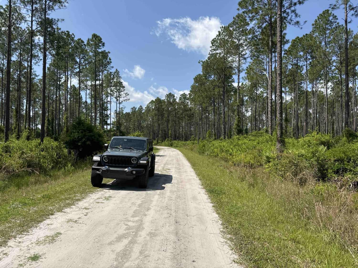
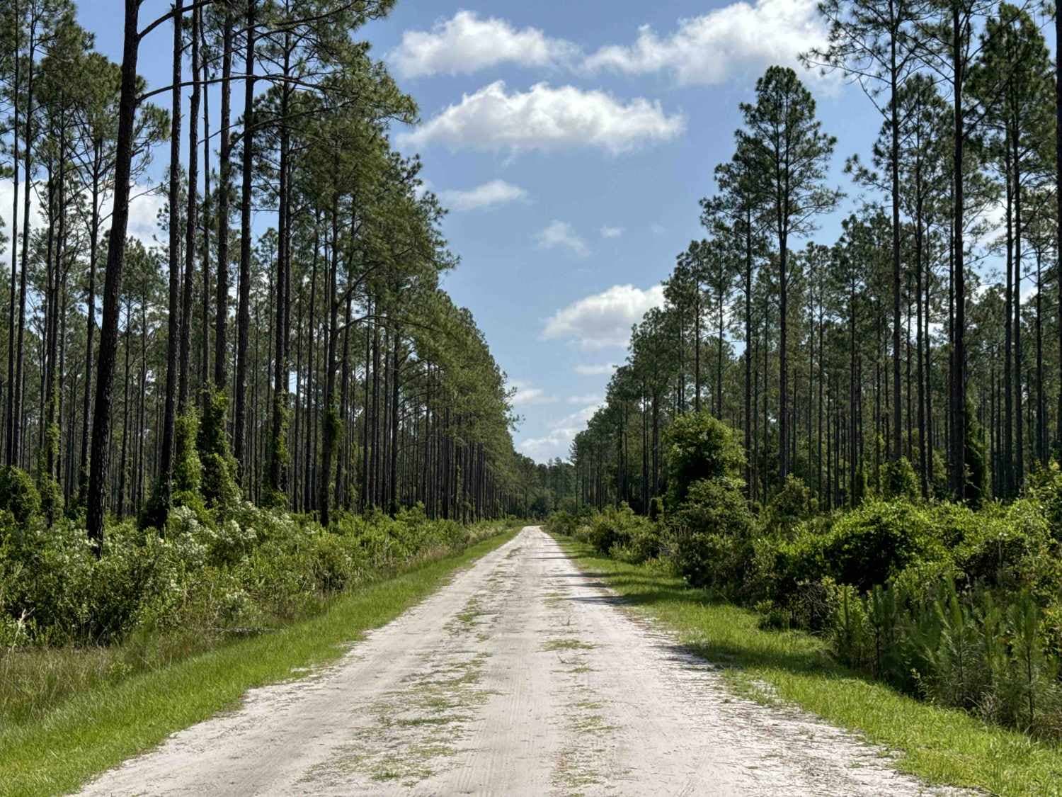
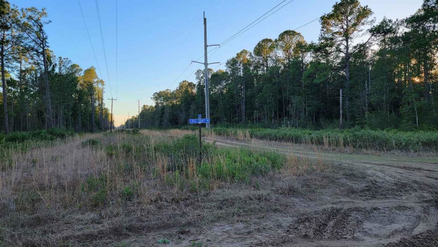
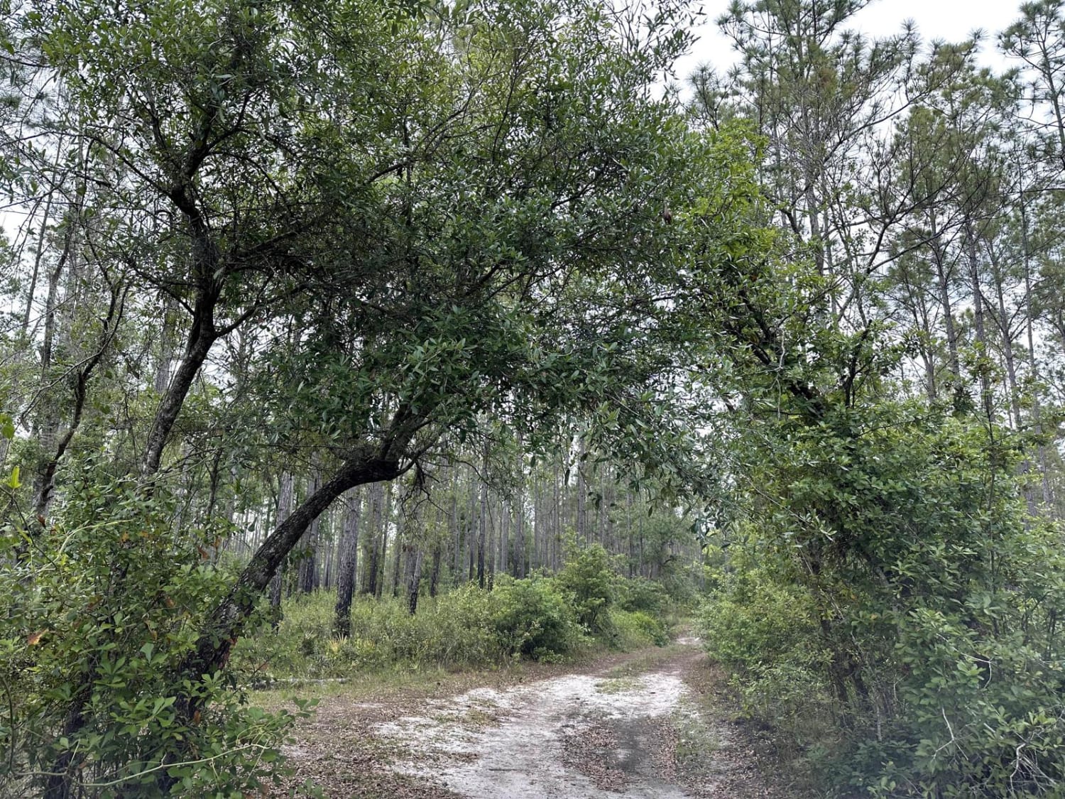
Trail Overview
Lochloosa WMA South Trail connects CR-325 and the Burnt Island Trail. It allows you access to the Lochloosa Water Management Area with plenty of trails that are only accessible during hunting season. The Lochloosa WMA South Trail is open year-round. The road is mostly packed sand and wide enough for two vehicles to pass each other. 4WD is recommended. OHVs are not permitted in this area.
Photos of Lochloosa WMA South Trail
Difficulty
This is an easy trail with hard-packed sand.
Status Reports

Popular Trails
Cary State Forest - Thomas Creek Tract

Telephone Trail - ONF 71
Osceola National Forest FR 212 "The Water Park"
Richloam Wildlife Management Area SE Quarter Infinity Loop
The onX Offroad Difference
onX Offroad combines trail photos, descriptions, difficulty ratings, width restrictions, seasonality, and more in a user-friendly interface. Available on all devices, with offline access and full compatibility with CarPlay and Android Auto. Discover what you’re missing today!