Off-Road Trails in Florida
Discover off-road trails in Florida
Learn more about 267 - Otter Camp (344)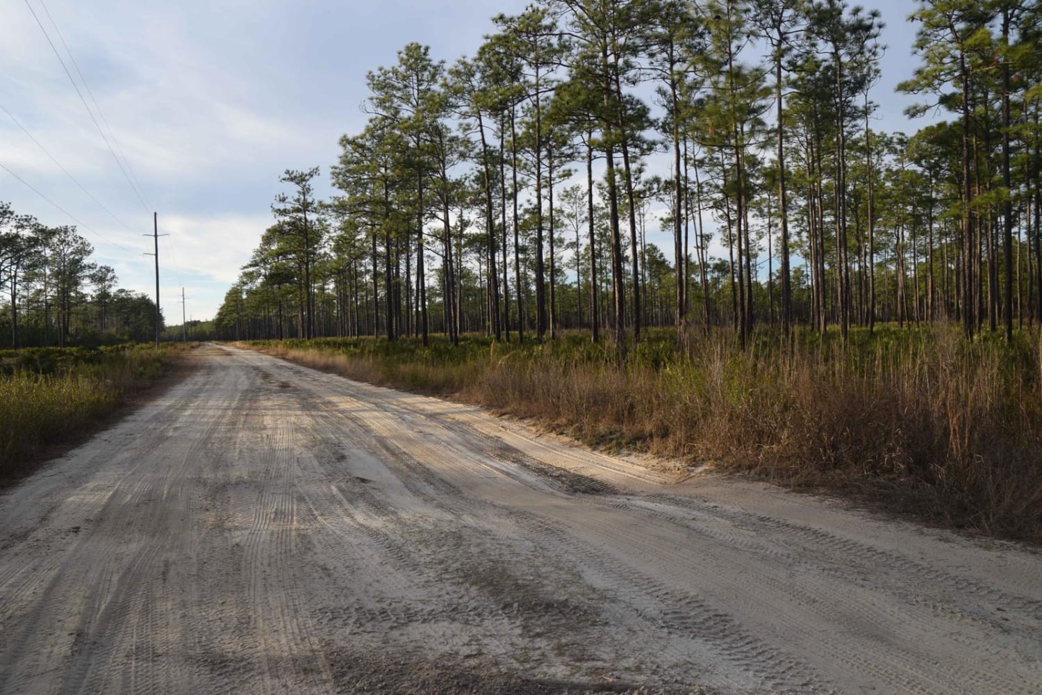
267 - Otter Camp (344)
Total Miles
7.0
Tech Rating
Easy
Best Time
Summer, Fall, Winter, Spring
Learn more about 305 North Pasture 
305 North Pasture
Total Miles
7.1
Tech Rating
Easy
Best Time
Spring, Summer, Fall, Winter

Learn more about 40 Acre Lake
40 Acre Lake
Total Miles
1.4
Tech Rating
Difficult
Best Time
Spring, Summer, Fall, Winter
Learn more about 5 Mile Road Winter Garden - Clermont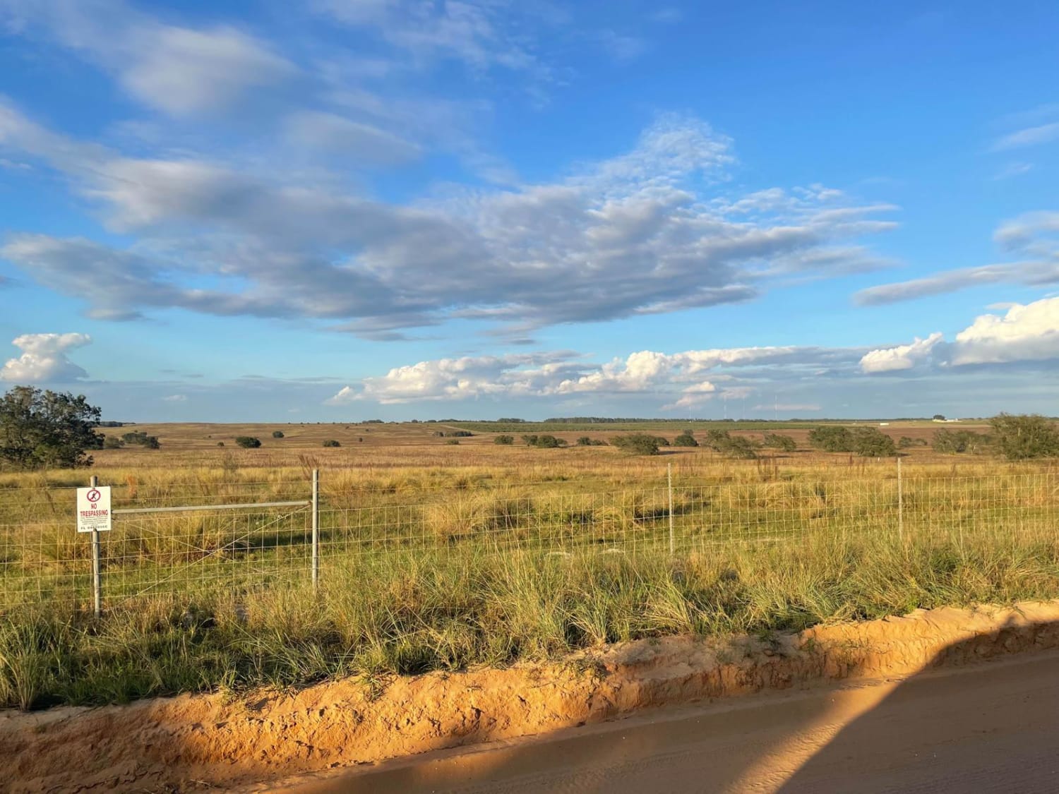
5 Mile Road Winter Garden - Clermont
Total Miles
6.5
Tech Rating
Easy
Best Time
Spring, Summer, Fall, Winter
Learn more about 68th Ave Extension
68th Ave Extension
Total Miles
3.9
Tech Rating
Moderate
Best Time
Spring, Winter
Learn more about Albritton Loop
Albritton Loop
Total Miles
4.8
Tech Rating
Easy
Best Time
Spring, Summer, Fall, Winter
Learn more about Ashmore - Apalachicola FR 321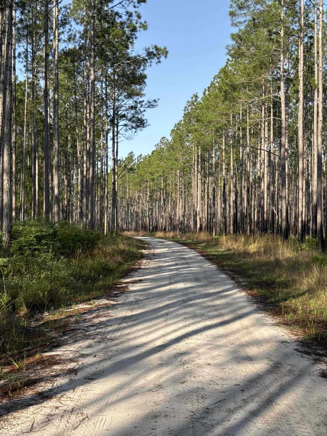
Ashmore - Apalachicola FR 321
Total Miles
8.2
Tech Rating
Easy
Best Time
Winter, Fall, Spring
Learn more about Babcock-Webb Yucca Pens Unit Road 5
Babcock-Webb Yucca Pens Unit Road 5
Total Miles
0.3
Tech Rating
Moderate
Best Time
Spring, Winter, Summer
Learn more about Babcock-Yucca Pens Unit Road 3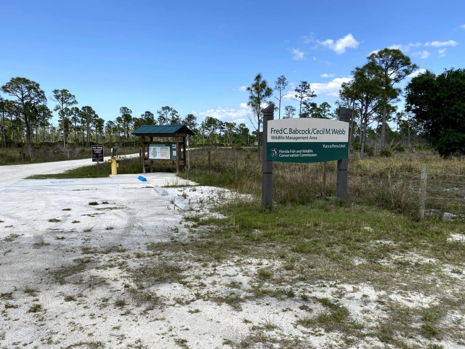
Babcock-Yucca Pens Unit Road 3
Total Miles
1.8
Tech Rating
Easy
Best Time
Spring
Learn more about Bad Mud - FS 164
Bad Mud - FS 164
Total Miles
4.7
Tech Rating
Moderate
Best Time
Spring, Summer, Fall, Winter
Learn more about Barbarossa Trail - ONF 54
Barbarossa Trail - ONF 54
Total Miles
6.5
Tech Rating
Easy
Best Time
Spring, Fall, Winter
Learn more about Barna/Sherriffs Department Trail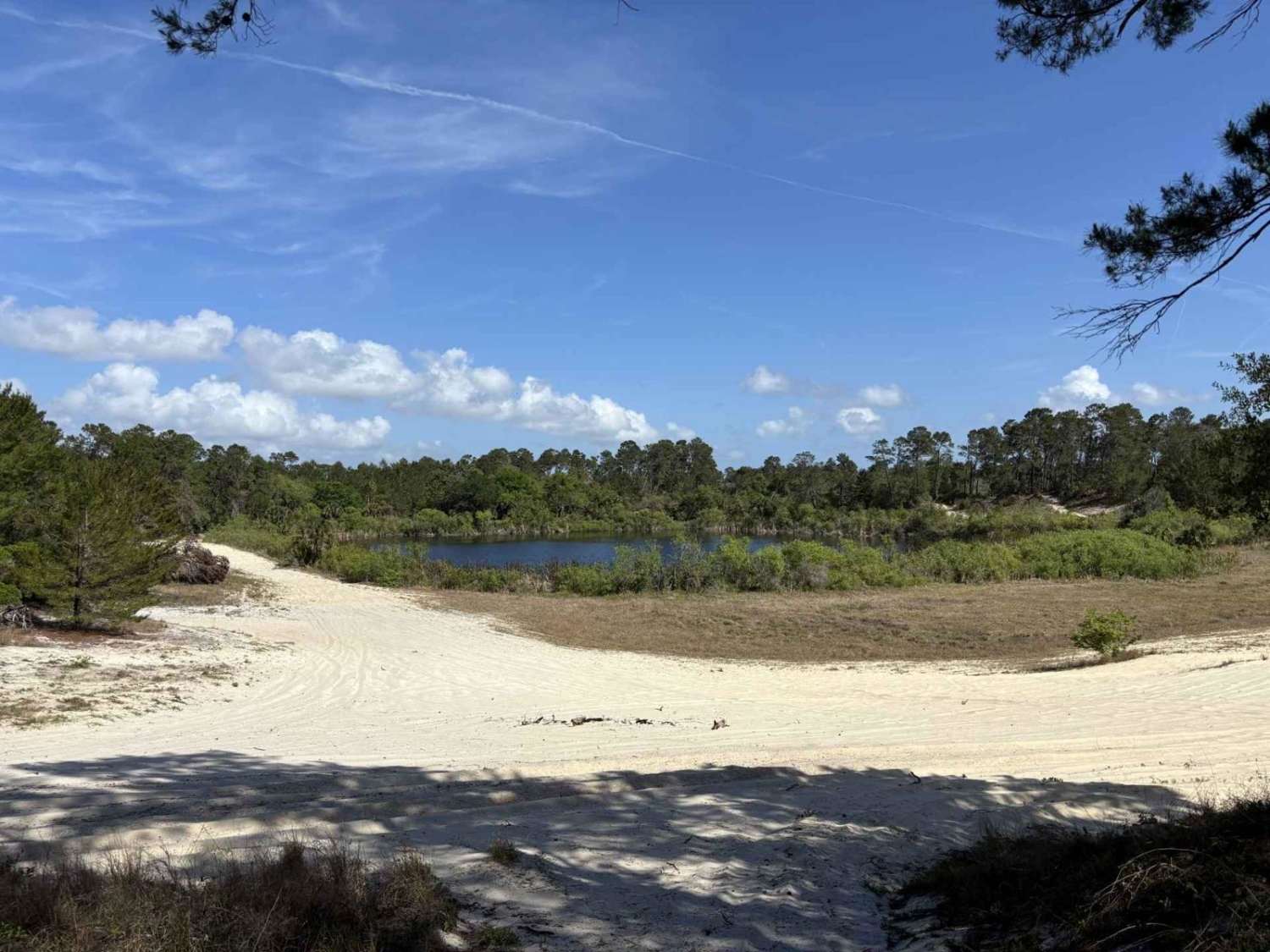
Barna/Sherriffs Department Trail
Total Miles
1.1
Tech Rating
Moderate
Best Time
Spring, Winter, Summer, Fall
Learn more about Bass Bud Road 
Bass Bud Road
Total Miles
2.6
Tech Rating
Easy
Best Time
Summer, Spring, Fall, Winter
Learn more about Bear Branch - Osceola NF 276
Bear Branch - Osceola NF 276
Total Miles
7.8
Tech Rating
Easy
Best Time
Winter, Spring
Learn more about Bear Island Grade
Bear Island Grade
Total Miles
2.7
Tech Rating
Easy
Best Time
Fall, Winter, Spring
Learn more about Bear Island Road
Bear Island Road
Total Miles
1.9
Tech Rating
Easy
Best Time
Winter, Fall, Spring
Learn more about Bear Road- FS 111-E
Bear Road- FS 111-E
Total Miles
1.7
Tech Rating
Moderate
Best Time
Spring, Summer, Fall, Winter
Learn more about Bell's Cemetery Road - Jennings State Forest
Bell's Cemetery Road - Jennings State Forest
Total Miles
2.5
Tech Rating
Easy
Best Time
Spring, Summer, Fall, Winter
ATV trails in Florida
Learn more about 267 - Otter Camp (344)
267 - Otter Camp (344)
Total Miles
7.0
Tech Rating
Easy
Best Time
Summer, Fall, Winter, Spring
Learn more about 305 North Pasture
305 North Pasture
Total Miles
7.1
Tech Rating
Easy
Best Time
Spring, Summer, Fall, Winter
Learn more about 40 Acre Lake
40 Acre Lake
Total Miles
1.4
Tech Rating
Difficult
Best Time
Spring, Summer, Fall, Winter
Learn more about 5 Mile Road Winter Garden - Clermont
5 Mile Road Winter Garden - Clermont
Total Miles
6.5
Tech Rating
Easy
Best Time
Spring, Summer, Fall, Winter
UTV/side-by-side trails in Florida
Learn more about 267 - Otter Camp (344)
267 - Otter Camp (344)
Total Miles
7.0
Tech Rating
Easy
Best Time
Summer, Fall, Winter, Spring
Learn more about 305 North Pasture
305 North Pasture
Total Miles
7.1
Tech Rating
Easy
Best Time
Spring, Summer, Fall, Winter
Learn more about 40 Acre Lake
40 Acre Lake
Total Miles
1.4
Tech Rating
Difficult
Best Time
Spring, Summer, Fall, Winter
Learn more about 5 Mile Road Winter Garden - Clermont
5 Mile Road Winter Garden - Clermont
Total Miles
6.5
Tech Rating
Easy
Best Time
Spring, Summer, Fall, Winter
The onX Offroad Difference
onX Offroad combines trail photos, descriptions, difficulty ratings, width restrictions, seasonality, and more in a user-friendly interface. Available on all devices, with offline access and full compatibility with CarPlay and Android Auto. Discover what you’re missing today!