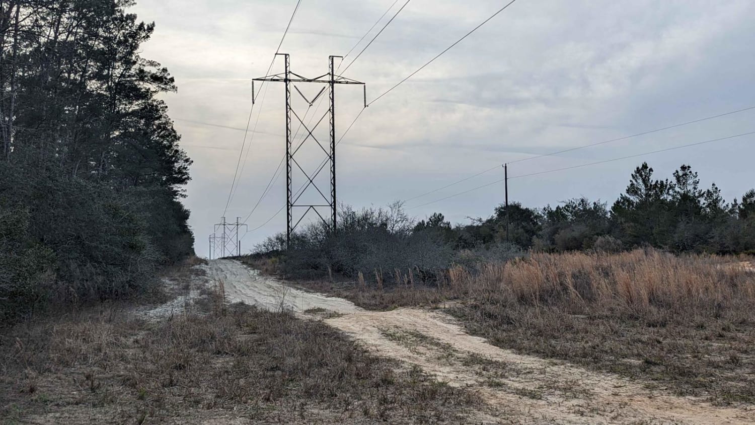
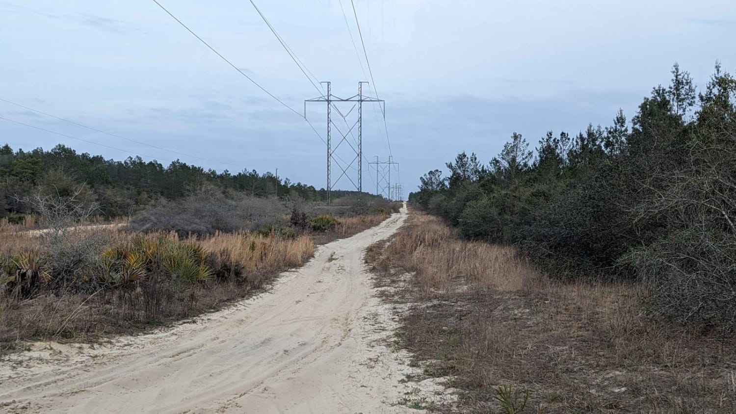
South Cross/Powerline Run
Total Miles
5.3
Technical Rating
Best Time
Spring, Summer, Fall, Winter
Trail Type
Full-Width Road
Accessible By
Trail Overview
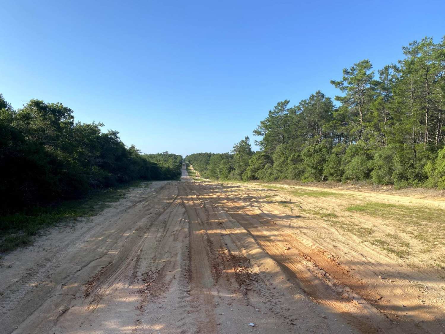
South Cross offers 5 miles of soft sand to cruise on underneath powerlines running east-west. Conditions are typically good and the trail is accessible to any vehicle with 4WD and a set of decent all-terrain tires. This trail runs alongside a much harder-packed surface sand/clay road that allows for any sections that are too difficult to be bypassed. There are a few sections of whoops and small hills that could prove to be a challenge. Cell service is spotty in most of Ocala National Forest.
Photos of South Cross/Powerline Run
Difficulty
Soft sand in certain areas can be difficult to navigate, combined with sections of small whoops that could be an issue for vehicles with low ground clearance. Multiple small hills along the route could be difficult to climb in the sand.
Status Reports
Popular Trails
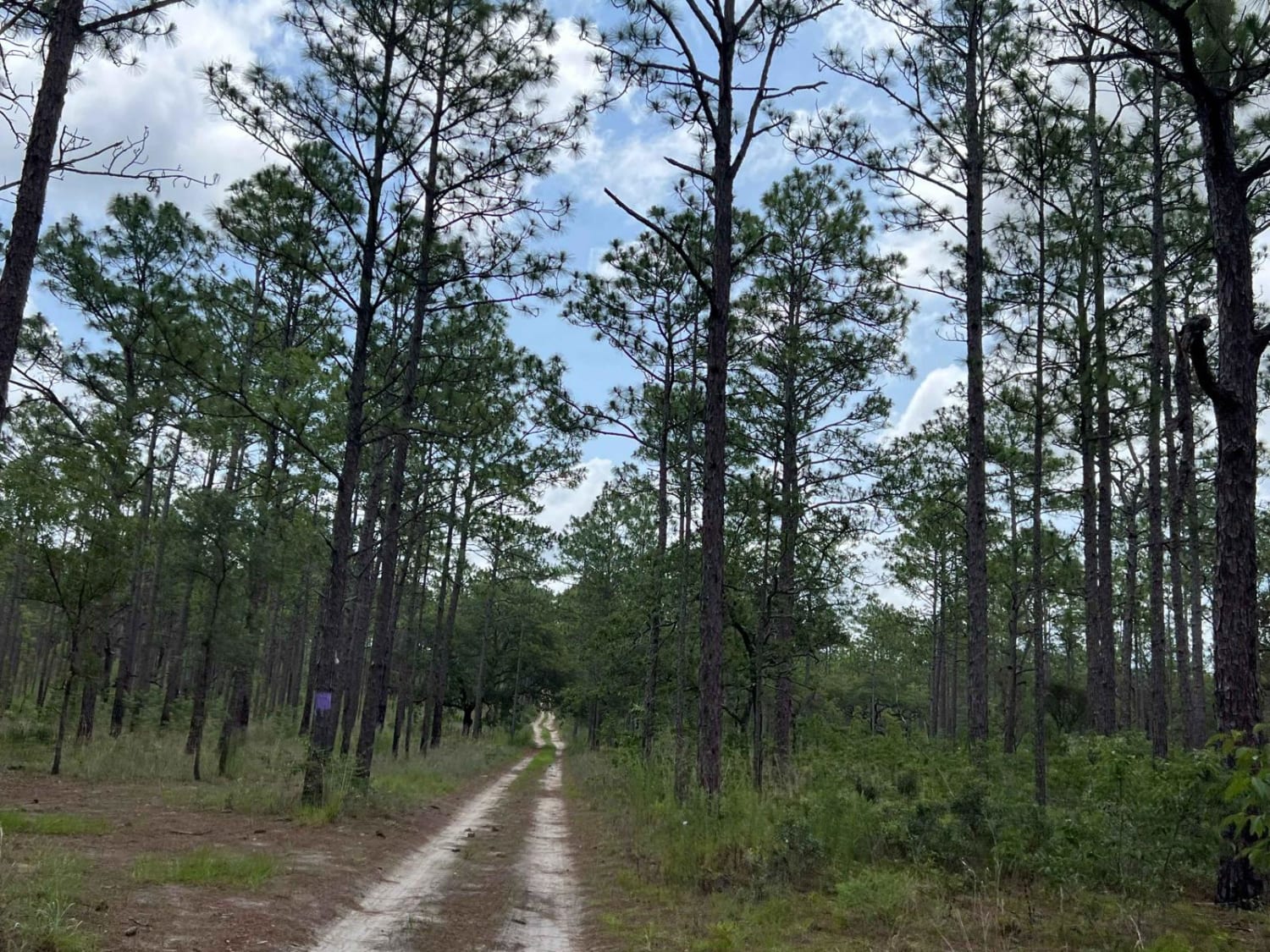
Citrus Wildlife Management | Trail 18

Ingram-Smith Trail
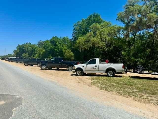
Longleaf Trail
FR 9-12.1
The onX Offroad Difference
onX Offroad combines trail photos, descriptions, difficulty ratings, width restrictions, seasonality, and more in a user-friendly interface. Available on all devices, with offline access and full compatibility with CarPlay and Android Auto. Discover what you’re missing today!
