Off-Road Trails in Florida

Discover off-road trails in Florida
Trail Length
Best Time of Year
Sort By
Learn more about 267 - Otter Camp (344)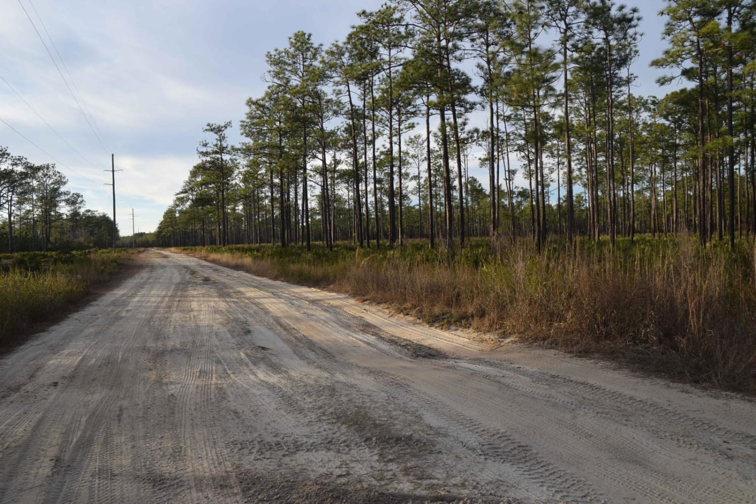
267 - Otter Camp (344)
Total Miles
7
Tech Rating
Easy
Best Time
Summer, Fall, Winter, Spring

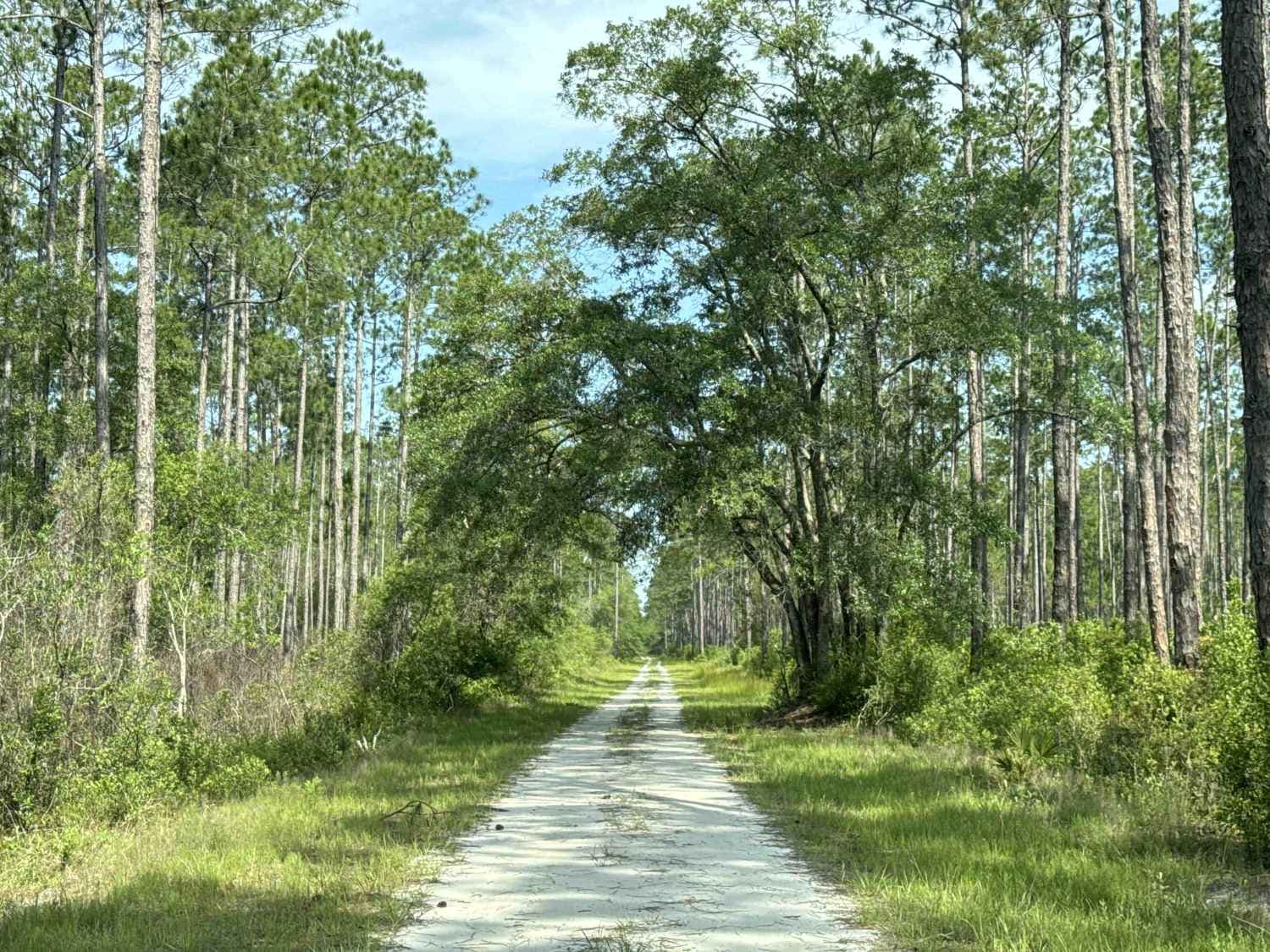
Learn more about 5 Mile Road Winter Garden - Clermont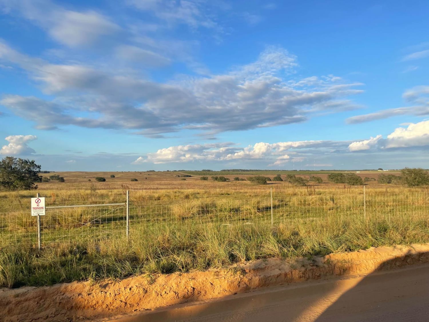
5 Mile Road Winter Garden - Clermont
Total Miles
6.5
Tech Rating
Easy
Best Time
Spring, Summer, Fall, Winter
Learn more about Babcock-Webb Yucca Pens Unit Road 5
Babcock-Webb Yucca Pens Unit Road 5
Total Miles
0.3
Tech Rating
Moderate
Best Time
Spring, Winter, Summer
Learn more about Babcock-Yucca Pens Unit Road 3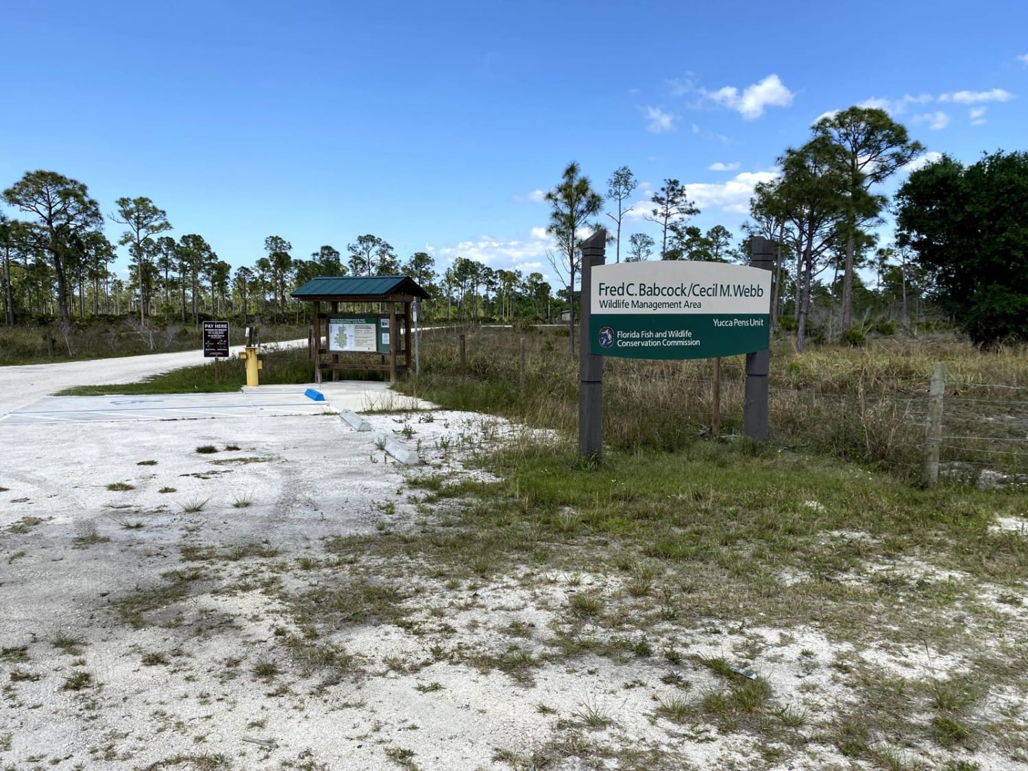
Babcock-Yucca Pens Unit Road 3
Total Miles
1.8
Tech Rating
Easy
Best Time
Spring
Learn more about Barbarossa Trail - ONF 54
Barbarossa Trail - ONF 54
Total Miles
6.5
Tech Rating
Easy
Best Time
Spring, Fall, Winter
Learn more about Bass Bud Road 
Bass Bud Road
Total Miles
2.6
Tech Rating
Easy
Best Time
Summer, Spring, Fall, Winter
Learn more about Bear Island Grade
Bear Island Grade
Total Miles
2.7
Tech Rating
Easy
Best Time
Fall, Winter, Spring
Learn more about Bear Island Road
Bear Island Road
Total Miles
1.9
Tech Rating
Easy
Best Time
Winter, Fall, Spring
Learn more about Bell's Cemetery Road - Jennings State Forest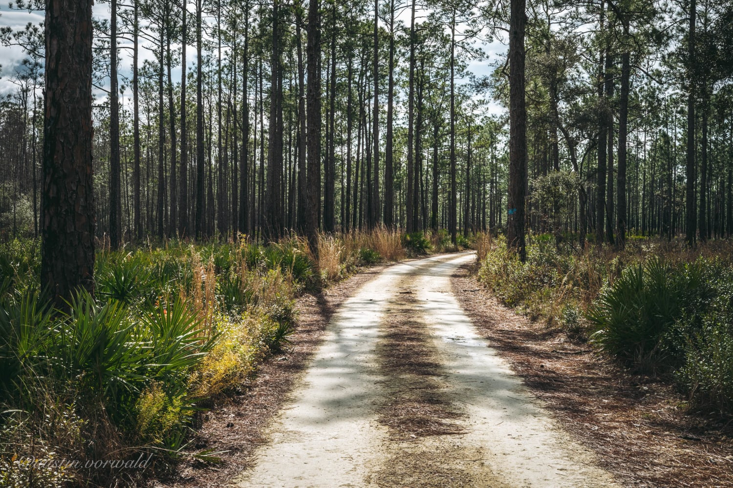
Bell's Cemetery Road - Jennings State Forest
Total Miles
2.5
Tech Rating
Easy
Best Time
Spring, Summer, Fall, Winter
Learn more about Belmore State Forest - Ates Creek Tract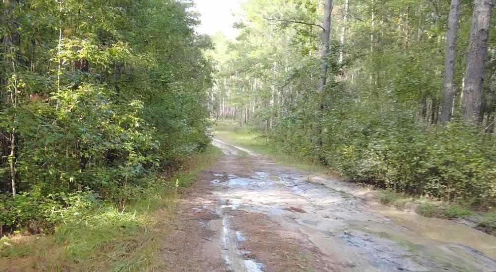
Belmore State Forest - Ates Creek Tract
Total Miles
9.2
Tech Rating
Easy
Best Time
Spring, Fall
Learn more about Berson Boulevard
Berson Boulevard
Total Miles
4.7
Tech Rating
Easy
Best Time
Winter, Spring, Fall
Learn more about Big Gum Trail - Osceola NF 211
Big Gum Trail - Osceola NF 211
Total Miles
8.1
Tech Rating
Moderate
Best Time
Spring, Fall, Winter
Learn more about Biolab Road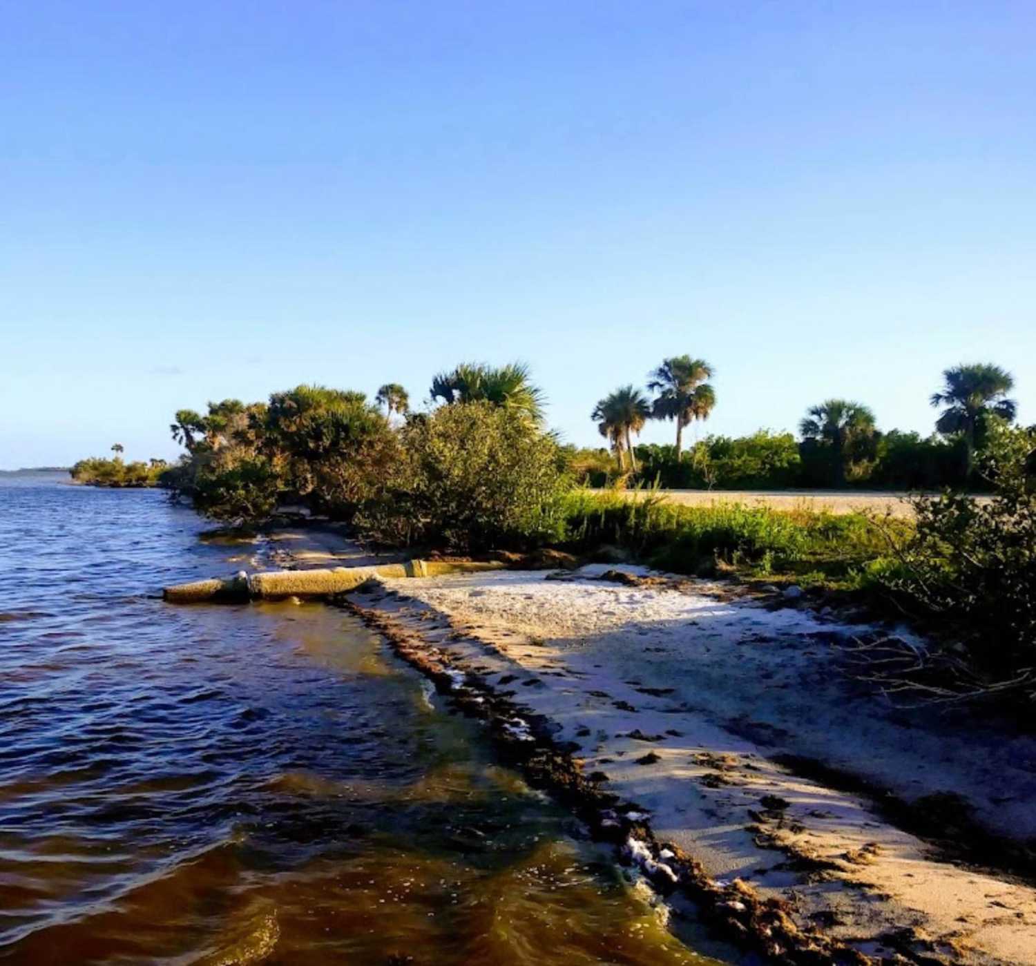
Biolab Road
Total Miles
5.9
Tech Rating
Easy
Best Time
Spring, Summer, Fall, Winter
Learn more about Birdon Road - CR 841
Birdon Road - CR 841
Total Miles
4.4
Tech Rating
Easy
Best Time
Spring, Fall, Winter
Learn more about Black Point Wildlife Drive
Black Point Wildlife Drive
Total Miles
5.4
Tech Rating
Easy
Best Time
Spring, Summer, Fall, Winter
Learn more about Black Water Creek - ONF 61
Black Water Creek - ONF 61
Total Miles
4.7
Tech Rating
Moderate
Best Time
Fall, Winter, Spring
Learn more about Black Water Cut 
Black Water Cut
Total Miles
3.4
Tech Rating
Moderate
Best Time
Summer, Fall
Learn more about Blackwater Cut 2
Blackwater Cut 2
Total Miles
4
Tech Rating
Moderate
Best Time
Spring, Summer, Fall, Winter
Viewing 20 of 239
The onX Offroad Difference
onX Offroad combines trail photos, descriptions, difficulty ratings, width restrictions, seasonality, and more in a user-friendly interface. Available on all devices, with offline access and full compatibility with CarPlay and Android Auto. Discover what you’re missing today!