Barrington Ferry
Total Miles
3.5
Technical Rating
Best Time
Spring, Summer, Fall, Winter
Trail Type
Full-Width Road
Accessible By
Trail Overview
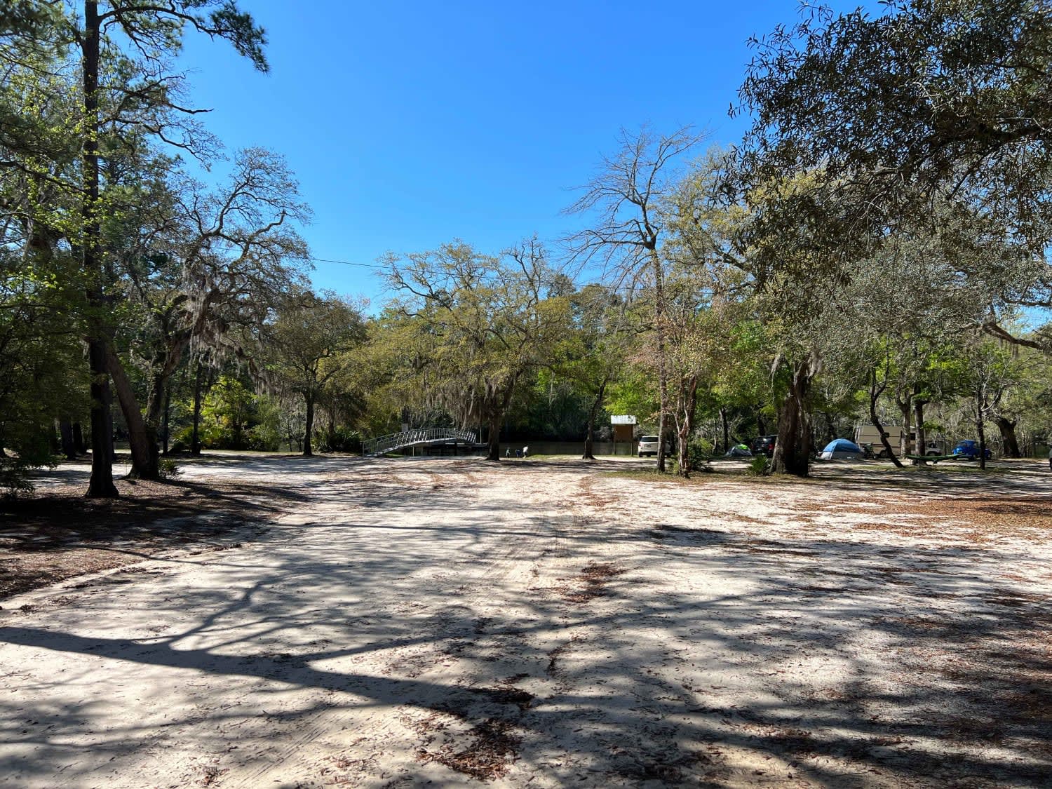
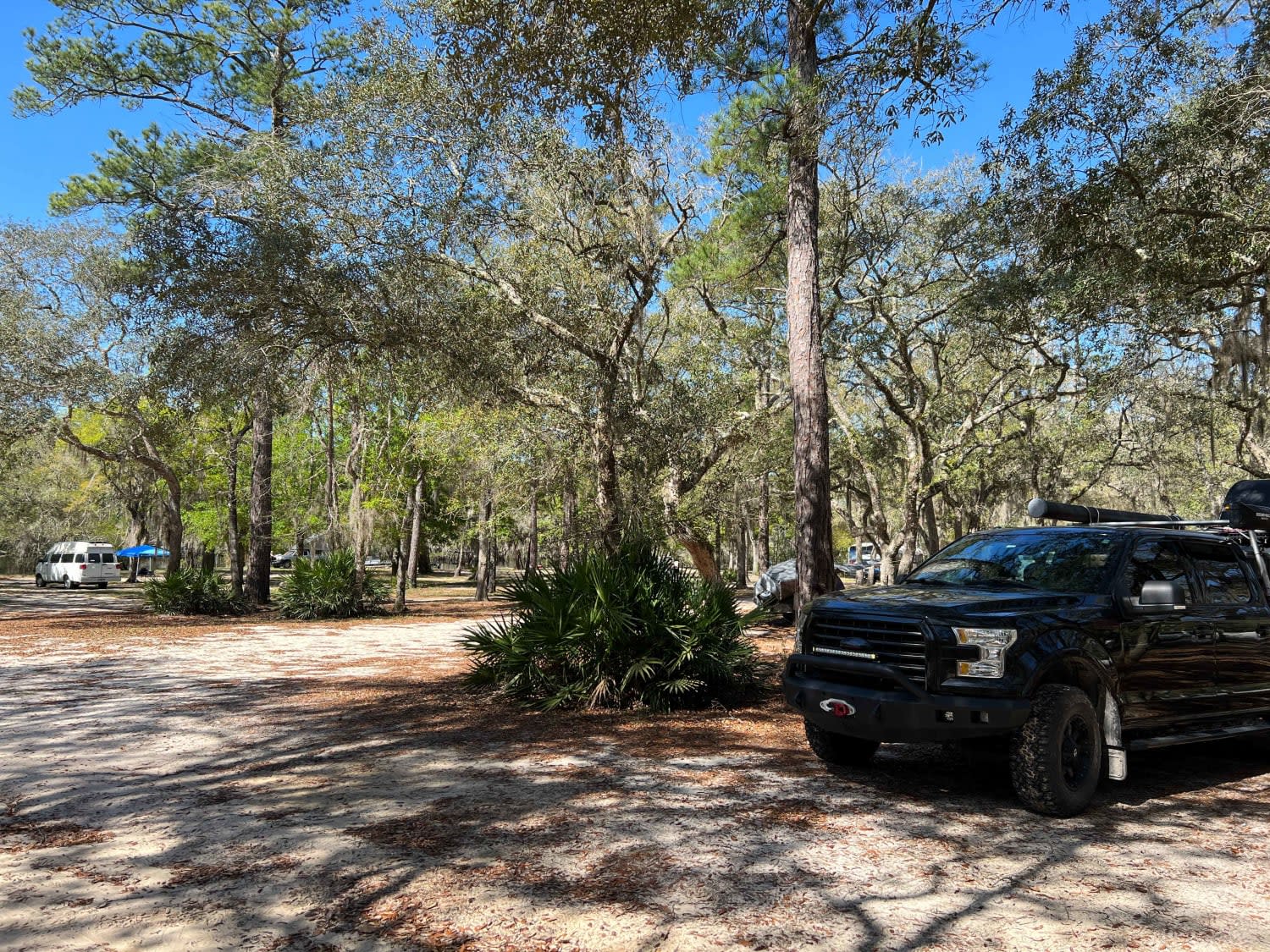
Barrington Ferry is a sandy run down to Barrington County Campground and boat launch. Free camping and river access are available to Harper Lake, connecting to the Altamaha River. It is a fairly well-maintained road that can become soft and challenging after some rain. While towing, you have to pick your route carefully through some rutted-out sections and soft shoulders. With that said, I did see a 2WD car traveling down this road on our way out, but it's recommended to have 4WD if any bad weather is in the forecast. This is a good base camping location for setting out to explore the rest of the state land in the surrounding area.
Photos of Barrington Ferry
Difficulty
It is a fairly well-maintained road that can become soft and challenging after some rain. While towing you have to pic your route carefully through some rutted out sections and soft shoulders. With that said I did see a 2wd car traveling down this road on our way out but it's recommended to have 4wd if any bad weather is in the forecast.
Status Reports
Barrington Ferry can be accessed by the following ride types:
- High-Clearance 4x4
- SUV
Barrington Ferry Map
Popular Trails

Currahee Mountain Road FSR 62
Little Rock Wildlife Drive

Lee Mountain Road - FS 181
Greenwood Church Road
The onX Offroad Difference
onX Offroad combines trail photos, descriptions, difficulty ratings, width restrictions, seasonality, and more in a user-friendly interface. Available on all devices, with offline access and full compatibility with CarPlay and Android Auto. Discover what you’re missing today!
