Dicks Creek
Total Miles
4.2
Technical Rating
Best Time
Summer, Spring, Fall, Winter
Trail Type
Full-Width Road
Accessible By
Trail Overview
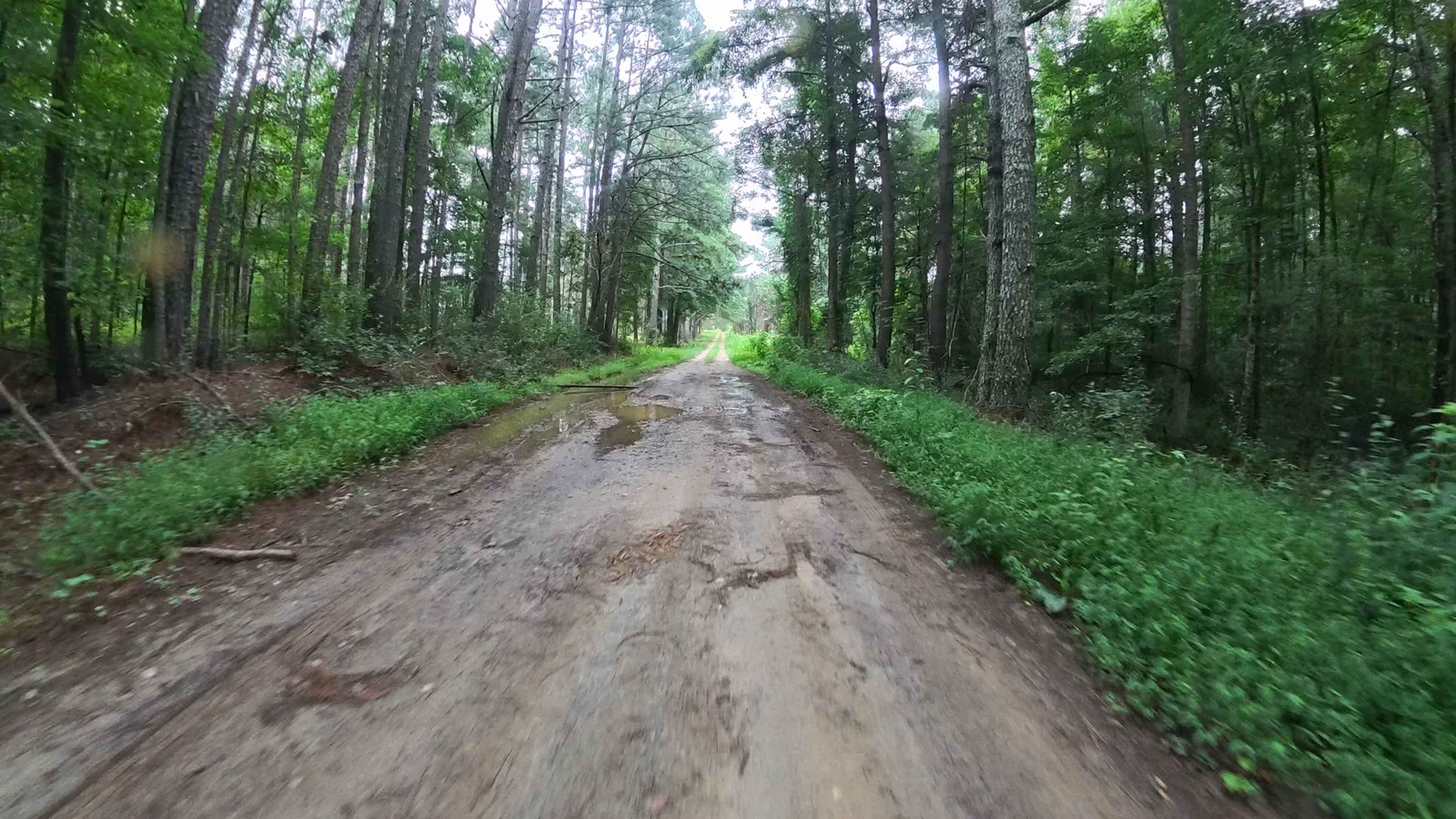
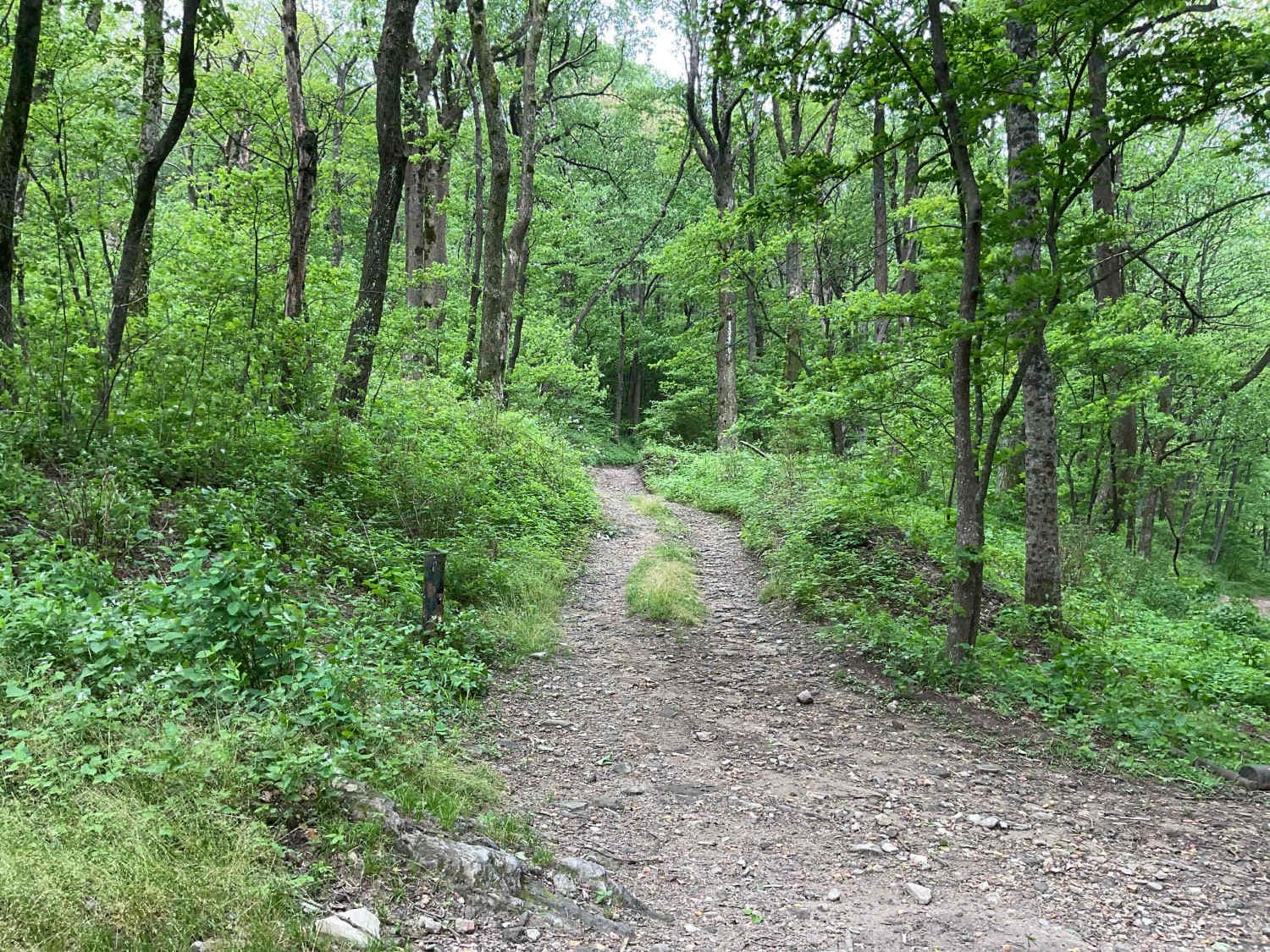
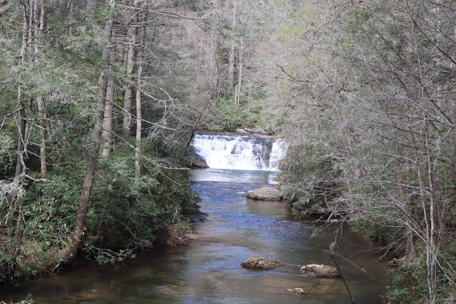
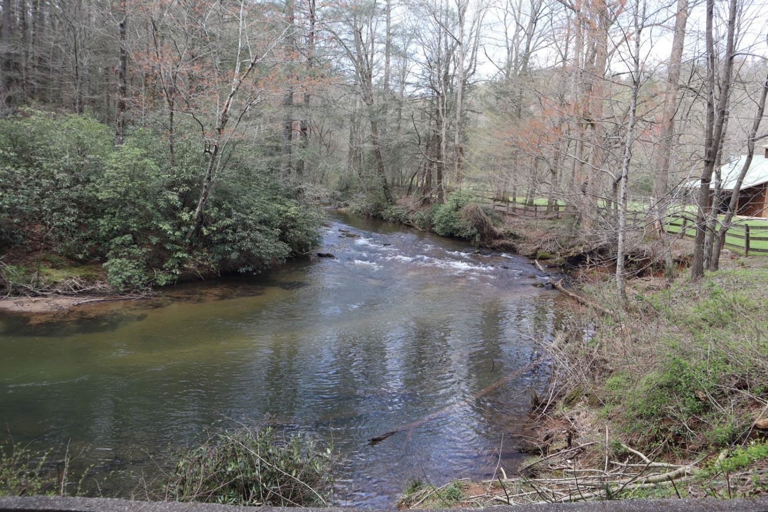
Can you say waterfalls? This trail follows Dicks Creek all the way up to the top of the mountain. The trail is closed at the top due to washouts but you can walk to the top of the falls about 1/4 of a mile to the actual overlook. Camping sites along the river are well maintained as the national forest does a lot of maintenance in this area. Make sure you check your surrounding if planning on camping overnight. Some campsites are marked for no overnight camping (day use only). The trail has 2 small water crossings. They can be crossed by a normal-sized SUV or even a Mini Van. There is fishing, if you plan on coming to this place, bring a fishing pole. This is one of North Georgia's trout fishing steams that is stocked by the National Park System. There is lots of fun to be had here.
Photos of Dicks Creek
Difficulty
There are a few small water crossings and a few ruts.
Status Reports
Dicks Creek can be accessed by the following ride types:
- High-Clearance 4x4
- SUV
Dicks Creek Map
Popular Trails

Dan Gun - FS 1016

Mud Creek Road

Amicalola Creek - FS 46

Tallulah River Trail - FR 70
The onX Offroad Difference
onX Offroad combines trail photos, descriptions, difficulty ratings, width restrictions, seasonality, and more in a user-friendly interface. Available on all devices, with offline access and full compatibility with CarPlay and Android Auto. Discover what you’re missing today!

