Shoal Creek Trail @Dawson Forest
Total Miles
1.2
Technical Rating
Best Time
Spring, Summer, Fall, Winter
Trail Type
High-Clearance 4x4 Trail
Accessible By
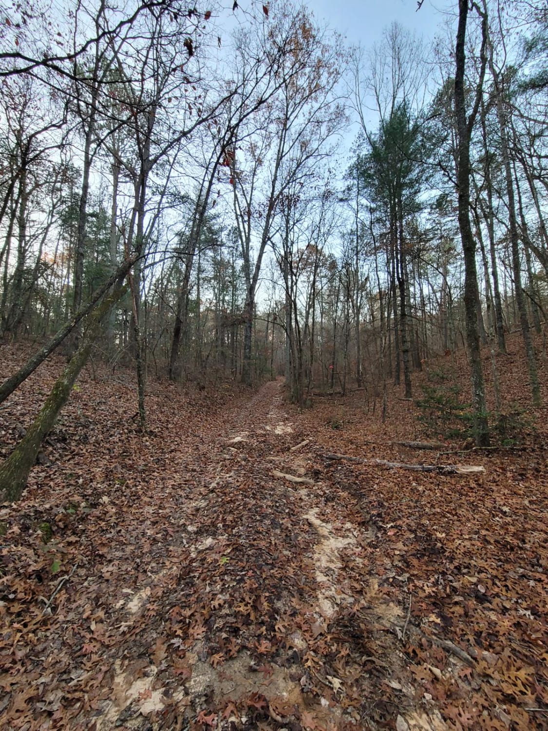
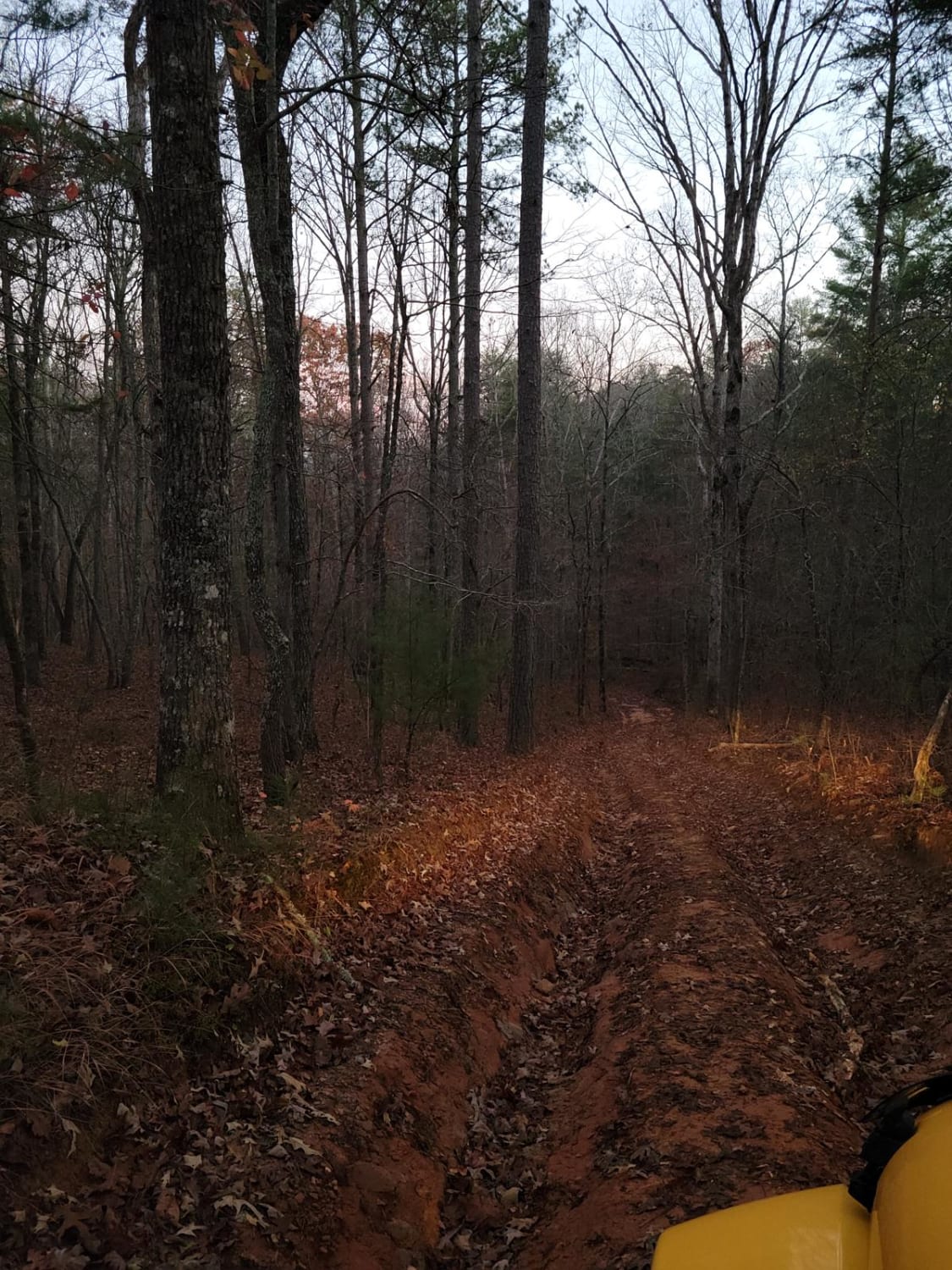
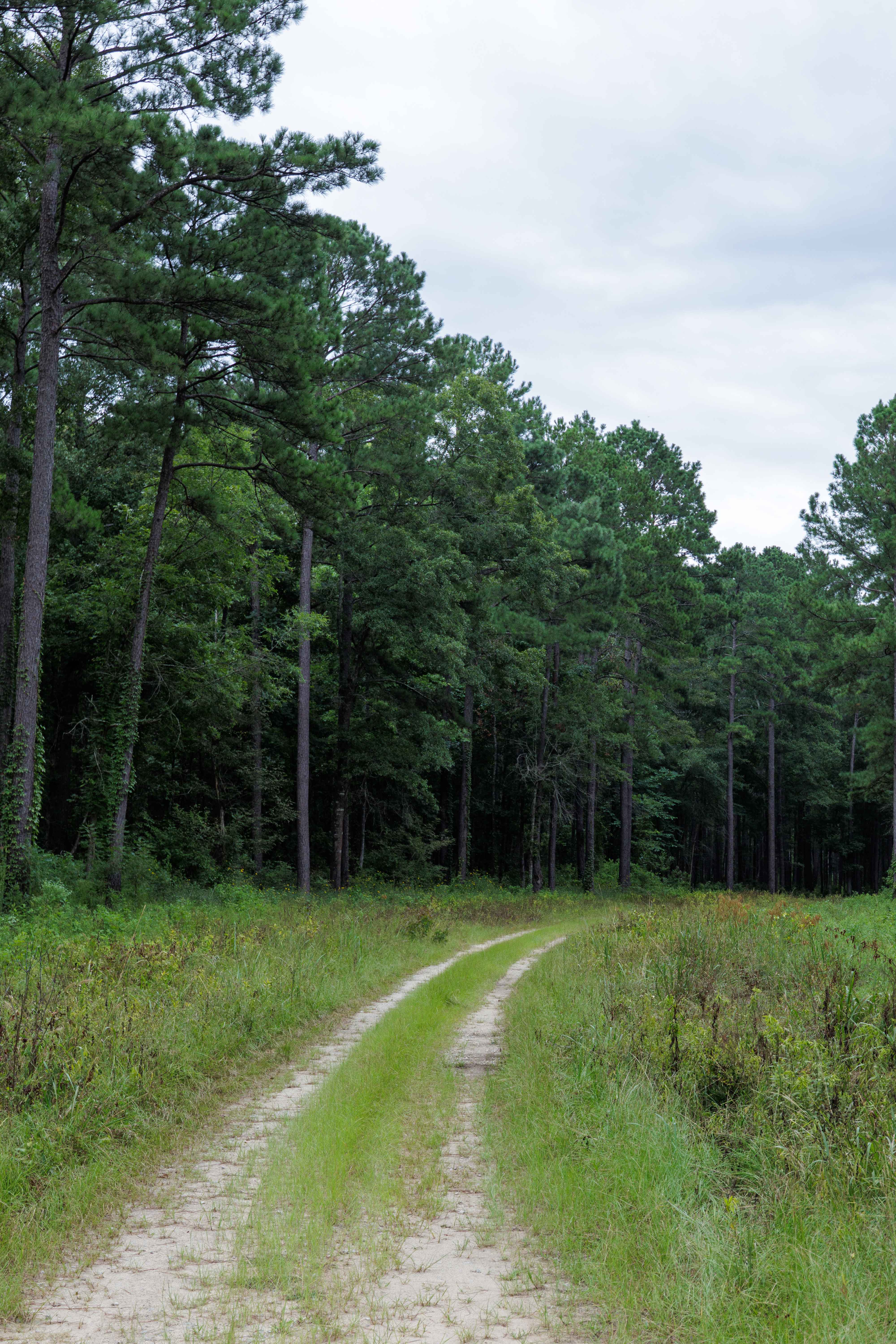
Trail Overview
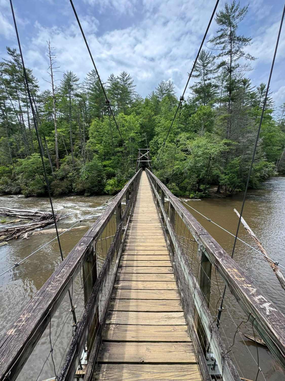
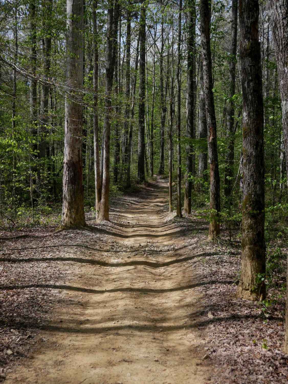
These trails are located in the Dawson Forest Wildlife Management Area, governed by the Georgia DNR. A hunting or fishing license is required to be in this area. There are several trails and campsites along the way. The Etowah River runs through this area, and is a great spot for fishing, or just camping and enjoying the wilderness. The nearby city is Dawsonville, where you can get food and supplies. There is an outlet shopping center nearby as well. Amicalola Falls and other Georgia State Parks are just north of this area. The trail is mostly dirty and gravel, and a 4x4 high-clearance vehicle is needed to complete the trail.
Photos of Shoal Creek Trail @Dawson Forest
Difficulty
Most trails are what you might expect as forest trails. There are a couple of stream crossings and rocky paths that may be difficult to cross.
Status Reports
Shoal Creek Trail @Dawson Forest can be accessed by the following ride types:
- High-Clearance 4x4
Shoal Creek Trail @Dawson Forest Map
Popular Trails

Anderson Bottoms Road
Tooni Gap - FS 816
The onX Offroad Difference
onX Offroad combines trail photos, descriptions, difficulty ratings, width restrictions, seasonality, and more in a user-friendly interface. Available on all devices, with offline access and full compatibility with CarPlay and Android Auto. Discover what you’re missing today!