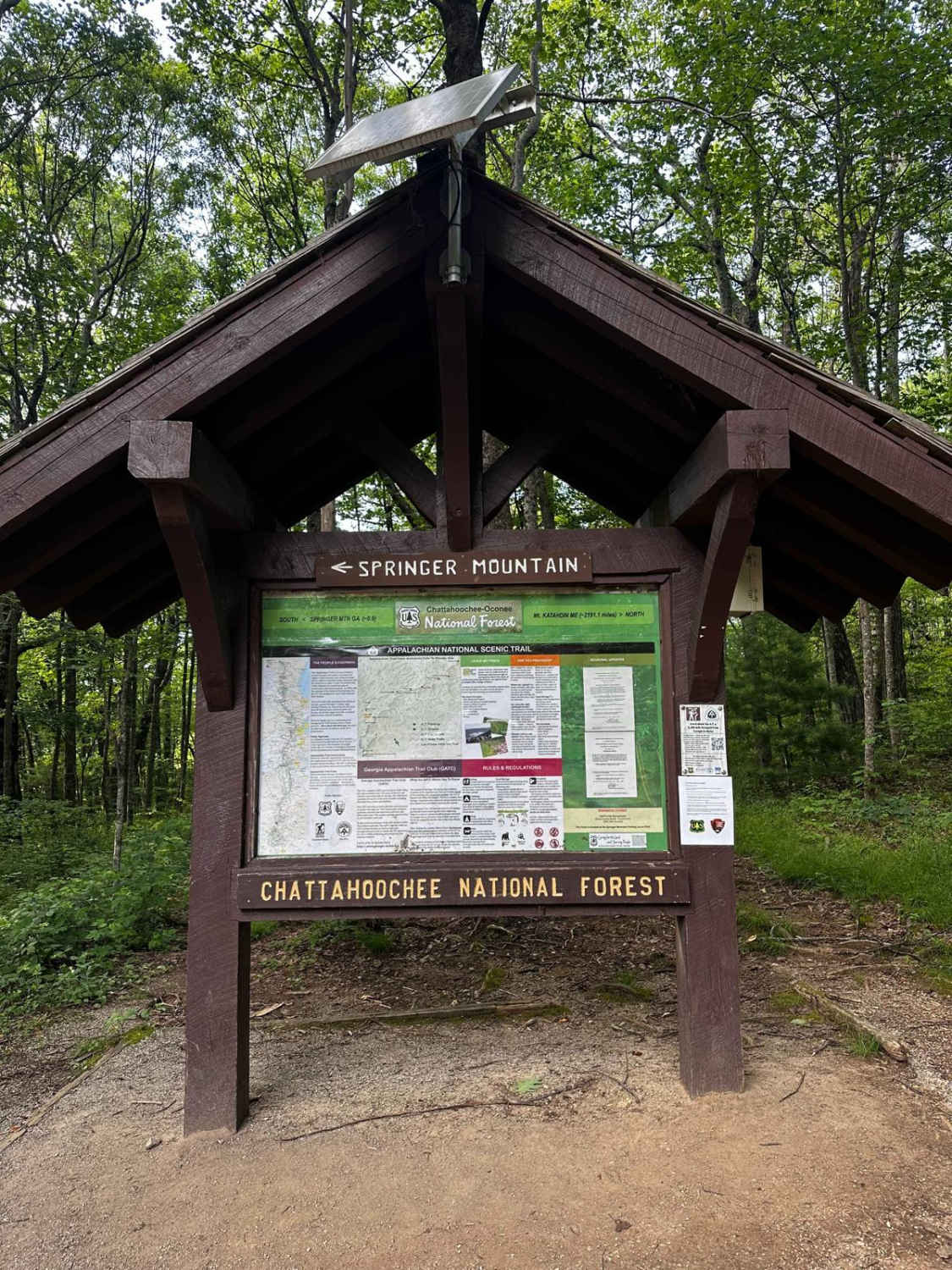
Springer Mountain Trail
Total Miles
9.3
Technical Rating
Best Time
Spring, Summer, Fall, Winter
Trail Type
Full-Width Road
Accessible By
Trail Overview
Welcome to the Southern Terminus of the Appalachian Trail! This route takes you through the North Georgia mountains, passing right by the beginning of the historic AT. The trail is mostly dirt and gravel, with much of it wide enough for two cars. Along the way, you'll find small spurs that lead to dispersed camping opportunities. In the summer, views from the side of the mountain are typically obscured by the canopy, but in the winter, you'll enjoy long-range mountain vistas for most of your drive.
Photos of Springer Mountain Trail

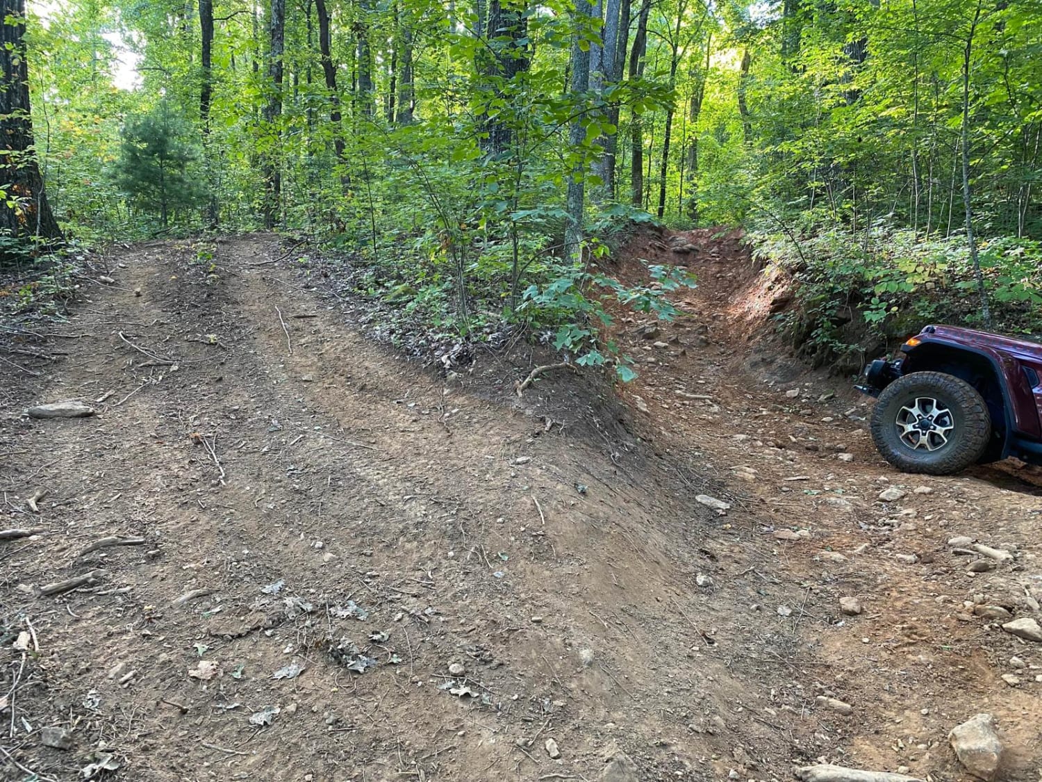
Difficulty
Most of this trail is composed of loose gravel and dirt with very minor ruts. While most of the trail is wide enough for two vehicles, some areas are slightly narrow. There are no obstacles that should be unsafe for most vehicles, making this a beginner-friendly forest service road trail.
History
This trail passes through the southern terminus of the historic Appalachian Trail at Springer Mountain, GA.
Status Reports

Popular Trails

Oconee Southern Traverse - 1068 (Segment 2)
Beasley Knob Trail 93

Lee Mountain Road - FS 181

Blue Ridge FS #42 E
The onX Offroad Difference
onX Offroad combines trail photos, descriptions, difficulty ratings, width restrictions, seasonality, and more in a user-friendly interface. Available on all devices, with offline access and full compatibility with CarPlay and Android Auto. Discover what you’re missing today!